Greenfield, Indiana
Looking for the best hiking in Greenfield? We've got you covered with the top trails, trips, hiking, backpacking, camping and more around Greenfield. The detailed guides, photos, and reviews are all submitted by the Outbound community.
Top Hiking Spots in and near Greenfield
-
Indianapolis, Indiana
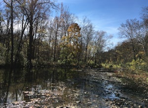
Trail Run at Marott Park
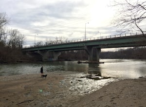
3.03 mi / 0 ft gainParking for Marott Park is right off of College Avenue and is easily accessible for anyone living in downtown Indianapolis or in the Broad Ripple area. We often take our dog here to run trails along the riverbed. You can cover several miles of trails here and crank out some hill repeats (which ca...Read more -
Indianapolis, Indiana
Hike at Eagle Creek Beach
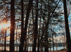
4.46 mi / 200 ft gainAs you pass through the entrance of Eagle Creek, you will drive through windy roads surrounded in pine trees. There are signs telling you where everything is located. There are lots of different places to park depending on what you wanna do.If you like hiking, take a trip to Eagle Creek. They hav...Read more -
Zionsville, Indiana
Hike Zionsville Rail To Trail
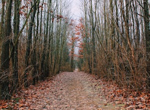
7.1 mi / 118 ft gainBig 4 Rail Trail is a 3.5 mile point-to-point hike that takes you past great forest setting located near Zionsville, Indiana.Read more -
Plainfield, Indiana
Hike the Sodalis Nature Park Loop
2.3 mi / 75 ft gainStarting at the entrance of Sodalis, there two ways you can take. If you go to the left, it will take you to the trails in the woods. If you go right, that will take you to the lake view area. The lake view area has a dock that goes out into the lake which is a great lake to fish on. You'll also ...Read more -
Coatesville, Indiana
Run Vandalia Trail
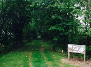
12 miVandalia Trail runs west 12 miles from Amo to Greencastle along what used to be old rail road tracks. I regularly go to Vandalia with friends for long runs. We will typical run 5 to 6 miles out and flip it back around. About 3 miles in, you'll pass through a small Indiana town with a small, old d...Read more -
Richmond, Indiana
Bike or Run on the Cardinal Greenway
62 miThe Cardinal Greenway has a number of access points within the city of Richmond. The furthest southern access point is off of Test Road just east of the intersection with Abington Pike. There is ample parking here and will allow you to enjoy a short section along the Whitewater River that include...Read more -
Nashville, Indiana
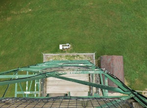
Climb Lilly Lookout at Brown County State Park
/ 75 ft gainOriginally used as a wildfire outpost, Lilly Lookout was donated in 1942 and moved to the State Park to serve as a radio communications tower. It also serves as a public observation tower where visitors can climb most of the way up, though the booth at the top is usually locked. The tower is loc...Read more -
Nashville, Indiana
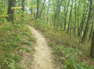
Trail 8 Loop To Hesitation Point
4.010.61 mi / 1253 ft gainTrail 8 Loop to Hesitation Point is a ~11 mile loop trail where you may see beautiful wild flowers located near Nashville, Indiana. There is a total of 637 feet of elevation. The distance, terrain, and elevation make this hike perfect for any intermediate and advanced level hikers. The hike has a...Read more -
Nashville, Indiana
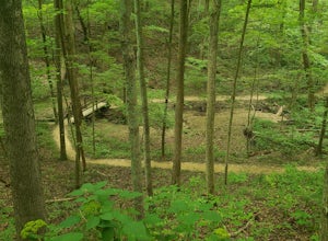
Ogle Lake To Trail 9 Loop
4.07.42 mi / 1135 ft gainOgle Lake to Trail 9 Loop is a loop trail located near Nashville, Indiana. This trail is moderately difficult due to its distance, elevation and terrain. The trail can be highly trafficked around the beginning of the trailhead, but once you make it to the Trail 9 Loop it tends to clear out and ha...Read more

