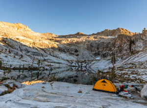
Wofford Heights, California
Top Spots in and near Wofford Heights
-
Kernville, California
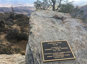
Hike up Powers Peak in Kernville
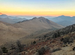
10 mi / 3200 ft gainHigh Level Details: ~10 Miles Round Trip~3,200 feet total elevation gain for tripTrailhead elevation: 2,811 feetHighest Point on the trail: Powers Peak, 5,778 feetEstimated Time to complete: 4-5 hoursNo water source along the way, so bring plenty of water Dog friendly? Yes! We love bringing Linco...Read more -
Posey, California
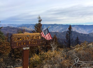
Sunday Peak Trail
1.64 mi / 1060 ft gainThis short and easy summit is located just outside of Kernville, California. To get there, follow Highway 178 towards Kernville and turn left on Highway 155 towards Wofford Heights. After a long, steep incline you’ll reach the top of Greenhorn Summit, marked by large parking areas on either side....Read more -
Kern County, California
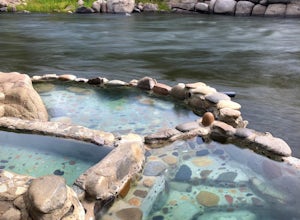
Remington Hot Springs
2.00.27 mi / 36 ft gain...One thing about hot springs is that no matter where it may be, they always bring an attraction of people. I can honestly say I don't think I've ever been to a hot spring that didn't gather more then 20+ people in a single sitting. I mean, in all seriousness aside, what's not to like about a ba...Read more -
Kern County, California
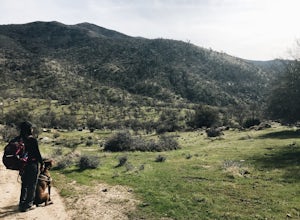
Remington Ridge Trail
11.45 mi / 3927 ft gainTo get to the trailhead, take Highway 178 and turn onto Borel Road, then turn onto Kern Canyon Road and follow the road. It might be easiest to put the Hot Springs into Google Maps and use that to navigate you to the parking lot. Park in the lot and walk across the road, where you'll see a sign l...Read more -
Kernville, California
Camp at Lower Springhill
The Lower Springhill Campground is a primitive campsite situated along the Kern River in the southern area of Sequoia National Forest. Since this is a primitive campground, there is no potable water, bathrooms or garbage service. You must pack out what you bring in.The campground is easily access...Read more -
Kernville, California
Dispersed Camp along Salmon Creek in Sequoia NF
There are several dispersed campsites found throughout the Sequoia National Forest. The majority can be found by driving on any of the OHV accessible roads. This particular campsite can be found at coordinates 35.89759, -118.4628. In order to get to the campsite, use Google Maps to get you to the...Read more -
Bakersfield, California
Hike the Mill Creek Trail to Breckenridge Road
7.5 mi / 3000 ft gainStarting at about 2000 elevation this hike is very gentle and nice for the first 2 miles. On the third mile it is a steep climb with short lengths of level ground the rest of the way. The junction at Breckenridge Road is at about 5500 elevation. If you hit the trail in the winter, there are some ...Read more -
Camp Nelson, California
Fly Fish the Kern River above the Johnsondale Bridge
5.04 mi / 100 ft gainCheck in at the local fly fishing shop in Kernville to check the latest status, then continue up the 20 mile stretch of Mountain Hwy 99 until you cross the Johnsondale Bridge. Park, pack, then begin your 30-45 minute hike up the trail before setting your rod.After you're finished, stop by the Ker...Read more -
Bakersfield, California
Oak Flat Lookout
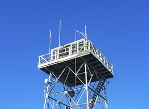
4.0/ 80 ft gainSpend a few nights under the stars in a unique piece of outdoor history. The Oak Flat Lookout, constructed in 1934, was once staffed by rangers providing critical wild life management services on watch for wildfires in the surrounding Sequoia National Forest through the 1980s. The Oak Flat lookou...Read more -
Porterville, California
Camp at Redwood Meadow
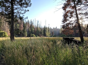
Situated right across the street from the stunning Trail of 100 Giants, Redwood Meadows features 13 spacious campsites adjacent to a picturesque meadow. There are picnic tables, fire rings, and six yurt sites available for those who wish to bring some of the great indoors outside. Pit toilets ar...Read more -
Porterville, California
Trail of 100 Giants
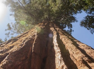
1.44 mi / 226 ft gainLocated off the M-90 (closed from Nov.-May) in the Sequoia National Forest, the Trail of 100 Giants provides a perfect stroll for nearby campers or a quick 30-minute stop for families driving by to get a glimpse of some truly awe-inspiring, overhead views. $5 day parking and restrooms can be fo...Read more -
Kern County, California
Walker Pass Campground Trail
1.84 mi / 240 ft gainWalker Pass Campground Trail is an out-and-back trail where you may see wildflowers located near Onyx, California.Read more -
Inyokern, California
Five Fingers Trail
4.02.34 mi / 1234 ft gainFive Fingers Trail is an out-and-back trail that takes you past scenic surroundings located near Onyx, California.Read more -
Kern County, California
Off-Road to McIver's Cabin
5.0A little over 2 hours north of LA on Highway 14, there is an abrupt turnoff for Horse Canyon Road, which is also SC65. Just a few hundred meters off the 14 there is a large map which you continue straight by and follow SC65 for about 7 miles, along relatively flat dirt roads. The trail does bec...Read more -
Little Lake, California
Eastern Sierra Scenic Byway
5.0197.06 mi / 9354 ft gainEastern Sierra Scenic Byway is a point-to-point trail that takes you by a lake located near Little Lake, California.Read more -
Kern County, California
Camp Under Red Rock Canyon
Red Rock Canyon is a must stop for those driving along Highway 14 between the Owens and Antelope Valleys. The park is located where the southernmost tip of the Sierra Nevada converge with the El Paso Range and features scenic desert cliffs, buttes, and spectacular rock formations. Each tributary ...Read more
Top Activities
Camping and Lodging in Wofford Heights
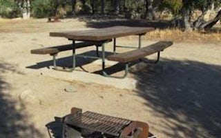
Wofford Heights, California
Live Oak South
Overview
Reservations not being accepted. Live Oak South Campground is located across the road from Lake Isabella, a popular destination...
Wofford Heights, California
Live Oak
Overview
Reservations not being accepted. Live Oak Campground is located across the road from Lake Isabella, a popular destination for b...
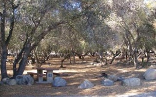
Wofford Heights, California
Tillie Creek
Overview
Tillie Creek campground is nestled in oak trees on the shores of Lake Isabella, a popular destination for water activities, espe...
Lake Isabella, California
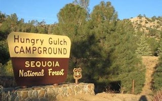
Hungry Gulch
Overview
Hungry Gulch Campground sits 3 miles from Lake Isabella in the Sequoia National Forest of California. Visitors enjoy swimming, w...
Lake Isabella, California
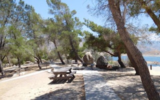
French Gulch
Overview
French Gulch Campground sits 3 miles from the western shores of Lake Isabella, a 27-acre reservoir off the Kern River, in the ex...
Lake Isabella, California
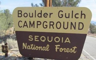
Boulder Gulch
Overview
Boulder Gulch Campground is nestled in the foothills of the high desert at an elevation of 2,650 feet, just a short drive from L...

