Upper Pines Campground, California
Top Spots in and near Upper Pines Campground
-
37.739698,-119.564018
Snow Creek Trail
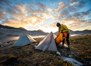
5.020.43 mi / 2700 ft gainThis is truly a beautiful hike. Although it’s not the easiest, you are rewarded by the views. From the Mirror Lake trailhead (shuttle stop #17), it is 0.9 miles to the Snow Creek trailhead and 1.7 miles to the Snow Creek overlook where you can camp in close proximity. Once you reach the top, you...Read more -
Yosemite Valley, California
Mirror Lake
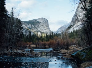
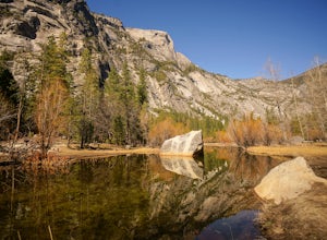
4.62.56 mi / 190 ft gainMirror Lake is a very popular spot in the Yosemite Valley and definitely a must see to check off your explore list. Crowds are much smaller if you go during the winter, but some parts of the water might be iced over. The trailhead you take to get there is well marked and can be found at the far ...Read more -
Yosemite Valley, California
Half Dome via the Mist Trail
4.815.94 mi / 4800 ft gainBe sure to arrive early early in the morning to beat the crowds or if you want to break up the hike, first-come, first served campsites are available at Little Yosemite Valley Campground - make sure to check out the details in that adventure and obtain a wilderness permit. Even if you are just da...Read more -
Yosemite Valley, California
Vernal & Nevada Falls via Happy Isles
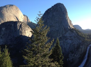
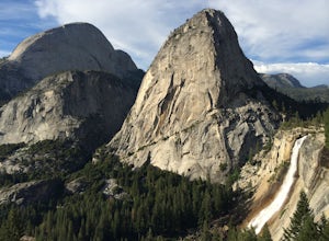
4.67.23 mi / 2815 ft gainThis popular hike starts near Happy Isles in Yosemite Valley. The first mile of the trail is paved and almost entirely uphill. You will come to the footbridge which tends to be very crowded. About 0.2 miles beyond the footbridge, the Mist Trail and the John Muir Trail diverge. Follow the Mist Tra...Read more -
Yosemite Valley, California
Hike to Hidden Falls (aka Tenaya Creek Falls)
4.2Also known as Tenaya Creek Falls or Three Chutes Falls, this spot is loved by locals and is definitely worth the hidden trail and scramble over rocks. The hike takes you along Tenaya Creek, Mirror Lake, and a boulder-filled canyon. Great for photos or for relaxing by some secluded falls. To get t...Read more -
Yosemite Valley, California
Thru-Hike the John Muir Trail
5.0203.17 mi / 44944 ft gainTo thru hike the JMT is probably one of the sickest trips to do! It's not a heavy commitment like the PCT or AT but it's also no week long vacation from work, backpacking the woods of your local forests either. There's a sweet spot in thru hiking and I believe this trail gives the full taste. You...Read more -
Yosemite Valley, California
Hike to Basket Dome
9.45 miGetting There Starting in Yosemite Valley, head to the Snow Creek trailhead just past Muir Meadows. Start the hike early in the morning, since it gets pretty hot in the summer and the last part of the hike is in the sun. The Trail You'll hike more than 140 switchbacks to reach the top of Ba...Read more -
Yosemite Valley, California
Snowshoe to Snow Creek
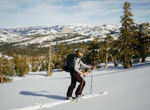
5.010.98 mi / 2700 ft gainTake the Valley shuttle to Mirror Lake Trailhead where you will begin your hike. After a flat 2 miles, you will begin the steep three miles up to snow creek as you take one switch back after the next. This steep climb will reward you with beautiful views of Tenaya Canyon and give you a differen...Read more -
YOSEMITE NATIONAL PARK, California
Photograph Stoneman Bridge in Yosemite NP
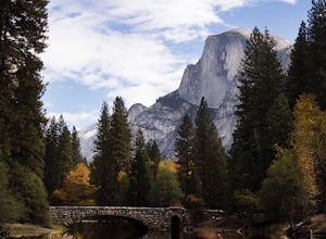
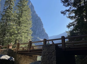
4.5This location turned out to be one of our favorite unplanned stops in the Yosemite Valley to photograph and explore.Stoneman Bridge was constructed in 1933 and spans 72 feet long. The Merced River flows under this classic stone bridge providing very photogenic reflections, with Half Dome in the b...Read more -
Yosemite Valley, California
Mist Trail to Vernal Falls
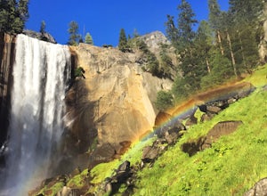
4.93.11 mi / 1319 ft gainThis is one of the most epic short hikes that you can do in Yosemite. Highly recommend it for anyone staying in the valley or visiting with enough time for a 2-3 hour hike. While the distance isn't long, you will stop a lot along the way to take in the beauty and also spend time at the top of the...Read more -
Mariposa County, California
Little Yosemite Valley Campsite and Half Dome
4.613.88 mi / 4800 ft gainFirst things first. You will need to get a wilderness pass by entering the lottery for Half Dome access. If you don't get a pass via lottery just go to the Yosemite Valley visitor center, tell the clerk you are backpacking to Little Yosemite Valley and that you would like to hike up Half Dome. Th...Read more -
37.732842,-119.557782
Panorama Trail
4.816.87 mi / 3200 ft gainThe Panorama Trail is an outstanding hike that takes you from the Yosemite Valley floor up to Glacier Point. Or you can hike it downhill going from Glacier Point to Yosemite Valley. You can camp and make it an overnight trip or do it as a day trip by leaving a car at one end and taking a park sh...Read more -
Mariposa County, California
Vernal Fall Foot Bridge Trail via Mist and John Muir Trail
5.02.4 mi / 761 ft gainVernal Fall Foot Bridge Trail via Mist and John Muir Trail is a loop trail that takes you by a waterfall located near Yosemite Valley, California.Read more -
Mariposa County, California
Photograph Yosemite's Half Dome at Glacier Point
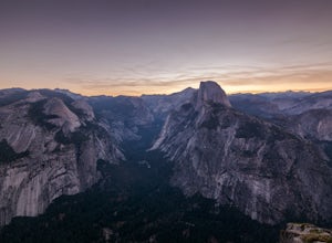
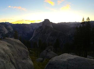
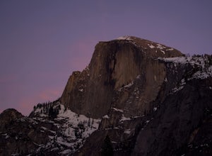
4.7Glacier Point gives you a classic view of Half Dome and Yosemite Valley. You can get a different perspective of Half Dome if you jump on any of the trails heading out of Glacier Point. Illilouette Falls trail gives you a different view of Half Dome. This trail is around 4-5 miles round trip fro...Read more -
Mariposa County, California
Stargaze and Photograph the Night Sky at Glacier Point
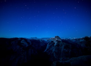
5.0The summer months of June, July, and August tend to provide the best views of the stars, and particularly in August during the meteor showers. Amateur astronomers often gather on Saturdays during the summer, and provide first hand knowledge and guidance. Glacier Point can accommodate hundreds of ...Read more -
Mariposa County, California
Reverse Summit of Glacier Point in Yosemite National Park
4.517 mi / 6100 ft gainYosemite's Panorama Trail is undoubtedly one of the most scenic and worthwhile trails in the entire national park. The stretch that reaches from the valley floor to the top of Glacier Point involves 8.5 miles and a monumental amount of elevation gain. If you want to see the entire stretch of trai...Read more
Top Activities
Camping and Lodging in Upper Pines Campground
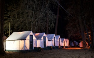
Yosemite Valley, California
Curry Village
Beneath the grandeur of Glacier Point, Curry Village is known for the same warm, hospitable feeling that was instilled by its founders, D...
From $90 / night
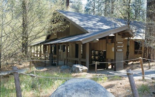
Yosemite Valley, California
Housekeeping Camp
Perfect for those who love camping outdoors but don’t want the hassle of setting up a tent, Housekeeping Camp is a Yosemite favorite. Per...
From $108 / night
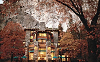
Yosemite Valley, California
The Ahwahnee
The Ahwahnee shines as Yosemite National Park’s distinctive hotel. Known for its stunning interior design and architecture, The Ahwahnee ...
From $386 / night

