Tecopa, California
Tecopa, California is a top destination for outdoor adventures, offering some of the best trails and outdoor activities. The China Ranch Date Farm Trail is a must-visit for hikers. This easy-to-moderate trail spans 6.4 miles, taking you through distinct rock formations and a lush date palm oasis. Another scenic trail is the Amargosa River Trail. This 3.4-mile trail is perfect for bird-watching and offers stunning views of the flowing river. If you're looking for something more challenging, try the Ibex Dunes. These remote sand dunes provide a unique hiking experience and offer panoramic views of the surrounding mountains. Nearby, the Tecopa Hot Springs is a popular attraction, perfect for a relaxing soak after a day of hiking. All these outdoor activities make Tecopa a must-visit destination for any outdoor adventurer.
Top Spots in and near Tecopa
-
Tecopa, California
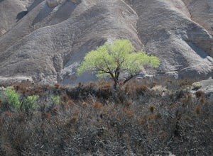
Hike the Amargosa River Trail
8.9 mi / 561 ft gainExplore the beauty of the Mojave Desert and its wide-open tranquil spaces with this easy 5 mile hike beginning in the parking lot at the China Ranch Date Farm. This is a primitive trail that follows the historic T&T railroad grade, through Amargosa Canyon with washed out remnants of the old t...Read more -
Shoshone, California
Camp in the Greenwater Valley in Death Valley NP
Greenwater Valley in the southeast corner of Death Valley National Park is a fantastic representation of the many features that the Park has to offer but without the crowds (and traffic) found in the primary campgrounds like those around Stovepipe Wells and Texas Spring. In addition to being quit...Read more -
San Bernardino County, California
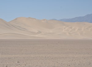
Hike around the Dumont Dunes
5.0Dumont Dunes is an Off-Highway Vehicle (OHV) area administered by the Bureau of Land Management as a recreational area for off-road vehicle sports, hiking, camping, rock climbing, and rock collecting. While most people come here to ride ATVs across the dunes, we opted to take a hike up the dunes ...Read more -
Inyo County, California
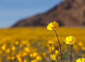
Photograph Death Valley's Wildflower Bloom
4.52 mi / 200 ft gainEvery spring, a few plants and flowers spring up from the driest place in North America, California's Death Valley National Park. Knowing where to go is important, but not as important as knowing when to go. Wildflower season only lasts a few weeks before daytime temps hit 80º and the flowers go ...Read more -
Inyo County, California
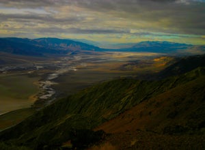
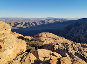
Photograph Dante's View of Death Valley
4.7In all of Death Valley National Park, Dante's View might just be the best spot to watch the light fade away after a long day. Unfortunately, it is one of the highly missed spots along the Highway 190 Death Valley route. This might be due to the fact that it is about 15 miles off of the highway, b...Read more -
Inyo County, California
Badwater Basin's Salt Flats
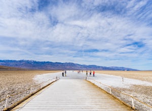
4.61.92 mi / 43 ft gainTaking a walk on the salt flats at Badwater Basin is like no other experience in Death Valley National Park. These flats cover nearly 200 square miles across the park, which makes them one of the world’s largest protected salt flats. With an elevation of 282 feet below sea level, Badwater Basin i...Read more -
Las Vegas, Nevada
Hike The Mountain Springs Trail
5 mi / 1012 ft gainGetting there is pretty straight forward. Take 160 west towards mountain springs and use your phone to pull up the trail head on a map. It comes up quick on the right, and is nothing more than a gravel lot with a few 4x4 trails headed out of it. There is one main trail, a vehicle path, that leav...Read more -
Inyo County, California
Natural Bridge Canyon
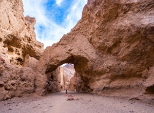
4.71.39 mi / 518 ft gainNatural Bridge Canyon is one of the few canyons in Death Valley with an official trailhead that can be easily accessed from the parking lot. You’ll find the trailhead off Highway 178, just 4 miles south of the Artist’s Drive scenic loop. The hike is nice and easy and great for families or large ...Read more -
Mount Charleston, Nevada
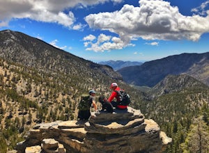
Mt. Charleston via Trail Canyon
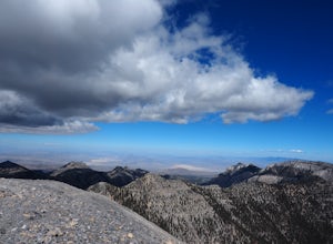
5.016.3 mi / 5030 ft gainEscape the heat and ditch the bright lights of Las Vegas and hike to the summit of Mt. Charleston. Less than an hour drive from Sin City it provides desert dwellers and visitors alike with a dramatic change of scenery and a taste of high-altitude hiking. With a total round trip hike of 16 miles ...Read more -
Mount Charleston, Nevada
Trail Canyon in the Mt. Charleston Wilderness
3.82 mi / 1588 ft gainTHE TRAIL The Trail Canyon Trail is a 3.8 mile out-and-back moderately trafficked route located in the Mt. Charleston Wilderness located approximately 45 minutes northeast of Las Vegas, NV. This difficult trail offers access to Mt. Charleston Peak, the western side of the Mummy Mountain Trail,...Read more -
Inyo County, California
Devil's Golf Course, Death Valley
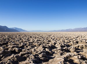
4.02.54 mi / 115 ft gainIt is said that "only the devil could play golf on such rough links." Just off Badwater Road you will find an immense field of eroded rock salt that bore small jagged spires in the Earth. What was once Lake Manly is now a surreal sight - one that makes you wonder what planet you are on. Devil's G...Read more -
Las Vegas, Nevada
Hike Red Rock's Ice Box Canyon
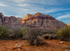
4.8Red Rock Canyon is about 30-45 minutes outside of Las Vegas and is the perfect little get away from the noise of Sin City; however, it will still be slightly infested with tourists.From the trailhead it just looks a bit like thick brush, but once you get into it, you find tiny pools and a little ...Read more -
Furnace Creek, California
Artist's Palette
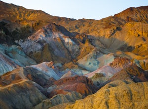
4.00.4 mi / 89 ft gainLet’s just start this off by saying, PREPARE FOR THE HEAT. Death Valley has the highest recorded temperature on earth at over 130 degrees Fahrenheit. If you are planning to visit in the summer…be ready. Luckily, Artist’s Palette is not far from the parking the area and the saving grace of Ai...Read more -
San Bernardino County, California
Camp at Hole In the Wall Campground
5.0You may think a desert is barren and ugly with little to offer the avid outdoorsman. The truth is very far from that. The Mojave, like any other great outdoor location offers great hikes, amazing views, wildlife, and a night sky that is hard to beat anywhere else. The Mojave just like all great d...Read more -
Las Vegas, Nevada
Rock Climb at Red Rock Conservation Area
The official address for Red Rock Conservation area for you GPS travelers is: 1000 Scenic Loop Dr, Las Vegas, NV 89161. Head into the park, and you'll be on the one way Scenic Loop Drive. Red Rock is home to thousands of different routes, so it's easy to get lost amidst the rock. I recommend usin...Read more -
Las Vegas, Nevada
Trail Running in Red Rocks Nevada
4.06.5 miRed Rocks's Nevada (officially Red Rock Canyon National Conservation Area) has long been one of our favorite climbing destinations. Where else can you find five star moderate 10-pitch rock climbs a short hike from the trailhead? We usually take two trips a year to this sandstone wonderland. But i...Read more
Top Activities
Camping and Lodging in Tecopa
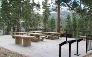
Cathedral Rock Picnic Area
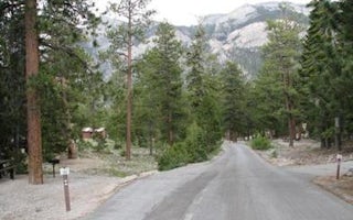
Mcwilliams
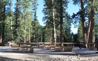
Foxtail Grp Picnic Area
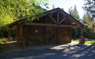
Fletcher View
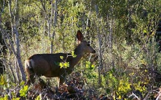
Kyle Canyon Picnic Area Day Use
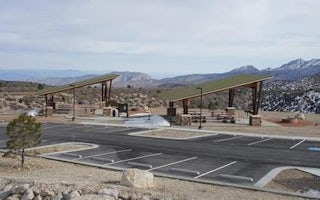
Spring Mountains Visitor Gateway Group Picnic Sites

