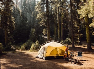
Seven Pines, California
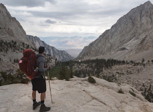
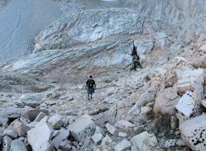
Seven Pines in California is the perfect spot for top outdoor adventures. The must-visit attraction here is the scenic Seven Pines Trail. This hiking trail is moderately difficult, making it suitable for both beginners and seasoned hikers. It's known for its stunning natural features, including a clear, gushing river, towering rock formations, and a tranquil lake. As you walk along the trail, you'll also come across a unique bridge made of fallen tree trunks. The trail is a great place for bird-watching and is also frequented by anglers due to the abundance of fish in the river. Near Seven Pines, you can enjoy a relaxing picnic at the nearby park or explore the local farmer's market. The best Trails and Outdoor Activities are waiting for you in Seven Pines.
Top Spots in and near Seven Pines
-
Independence, California
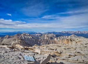
Onion Valley to Mt. Whitney
47.35 mi / 11745 ft gainTrip Guide ***Please note, all images after the first one are arranged in chronological order of the trip so you can easily follow along Day 1 Depending on where you are coming from your day one is most likely going to be setting up your car shuttle from Whitney Portal to Onion Valley. Our fi...Read more -
Independence, California
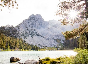
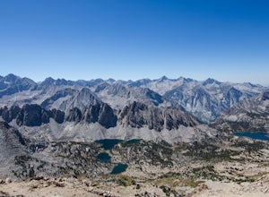
Flower Lake from Onion Valley
5.04 mi / 1352 ft gainMake sure to obtain an overnight permit up to 6 months in advance. You will have to pick up your permit at one of the Inyo National Forest Visitor Centers (here) before you begin. Once you have your permit in hand, drive to the Onion Valley Trailhead (see map), which is about 15 miles west of th...Read more -
Independence, California
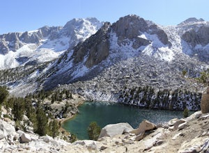
Charlotte Lake via Kearsarge Pass
4.016.38 mi / 4078 ft gainThis adventure begins at Onion Valley Campground outside of Independence, CA. The parking is abundant and the road is snow dependent. Snow will be plowed as long as it is not currently being hit with a massive storm. Dogs are allowed on trail up to Kearsarge Pass (4.5 miles from the trailhead). H...Read more -
Independence, California
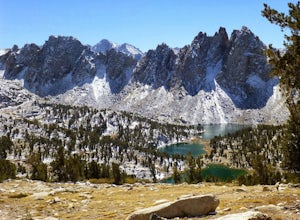
Rae Lakes via Glen and Kearsarge Passes
5.026.02 mi / 7106 ft gainThe hike starts at Onion Valley campground and includes a good deal of elevation (two passes around 12,000 feet). You start climbing at the outset, and keep climbing for the first couple of hours before hitting Kearsarge Pass. Here you begin a long descent, then traverse above some beautiful lake...Read more -
Independence, California
Summit Mt. Gould
9 mi / 3812 ft gainStarting at 9,200 feet at Onion Valley Campground, take Kearsarge Pass Trail. The hike begins immediately with a substantial increase in elevation, switchbacking up the mountain. On the way up rest and enjoy the beautiful alpine lakes, which include Gilbert, Flower, Heart and Big Pothole Lake. Fl...Read more -
Seven Pines, California
Mt. Williamson via Shepherd Pass
5.026.66 mi / 10653 ft gainThis trail starts at the lowest, and generally regarded hardest, trailhead in the Southern Sierras. You quickly gain elevation in what many describe as manageable but relentless. The first section of the hike has nice shade and adequate water access. Very enjoyable company to boot! Once you cros...Read more -
Fresno County, California
John Muir Trail: Middle Rae Lake
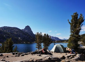
You'll have to deal with some crowds at Rae Lakes but that is because this is an amazing setting to spend the night. If sharing this place with others is the worst of your worries then you're doing pretty well. Hikers flock here for the incredible swimming, views of iconic peaks like Fin Dome and...Read more -
Independence, California
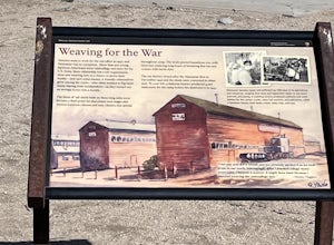
Manzanar Japanese Relocation Site: Manzanar Trail
5.02.22 mi / 112 ft gainManzanar Japanese Relocation Site: Manzanar Trail is a loop trail that takes you past scenic surroundings located near Independence, California.Read more -
Big Pine, California
Backpack Atop Sawmill Pass
20 mi / 6700 ft gainAt 11,347 ft., Sawmill Pass lies on the Sierra Crest and enters Kings Canyon National Park in the Woods Creek area. Both the John Muir Trail (JMT) and the Pacific Crest Trail (PCT) can be accessed through this pass. The Sawmill Pass trail is a steep and arduous climb, gaining over 6700 feet of e...Read more -
Tulare County, California
John Muir Trail: Camping at Bighorn Plateau
Another rare but welcomed flat open space along the JMT. The night sky here will blow you away so if you're a photographer this is a great opportunity to capture the incredibel Sierra night sky. Do be careful about camping in the open space in regards to weather. A thunderstorm in this area could...Read more -
Fresno County, California
John Muir Trail: Camping at Pinchot Pass
After the mild, but not negligible, 1000 ft ascent into Pinchot Pass, you'll be ready to rinse off the grime and take a rest. There are a few options for lakeside camping along the trail like Twin Lakes and an unnamed lake on the west side of the trail just beyond.This is a cool area because the ...Read more -
Inyo County, California
Summit of Mt. Whitney
5.020.85 mi / 6100 ft gainMt. Whitney is the highest peak in the contiguous United States. It stands over 14,500ft high at its peak (elevation gain of 6100') and it sure feels like it when you are up there. Getting There Located just West of Lone Pine, CA you take Whitney Portal Road West for 13 miles all the way to its...Read more -
Inyo County, California
Lone Pine Lake via Mount Whitney Trail
5.05.88 mi / 1883 ft gainFrom the parking lot at the end of Whitney Portal Road, look for the trailhead, which is marked with a wooden "gate" that shows the map and description of the trail. Starting out at 8,350 ft in elevation, the trail begins a series of switchbacks that lead you into the Sierra Nevada. Take more br...Read more -
Inyo County, California
Summit Mount Whitney via the Mountaineers Route
5.05 mi / 6600 ft gainWith over 6,600 feet of elevation gain and class 4 climbing, this is not for the casual hiker, but can provide an excellent challenge to a budding mountaineer.Park your car at Whitney Portal, 12 miles west of the town of Lone Pine, and start up the main Whitney Trail. After 1 mile you will encou...Read more -
Inyo County, California
Scramble up Mt. Muir
5.018.5 mi / 6200 ft gainFrom the Whitney Trail - beyond trail crest - you will see a big cairn (right side). If you make it to the first "window of Mt. Whitney" you have gone too far. The cairn marks the start of an class 2 use trail up to the Mt. Muir headwall.The headwall is a fun climb with good handholds and has lit...Read more -
Inyo County, California
Winter Summit Mt. Whitney
22 mi / 6500 ft gainDay 1: We arrived at the Lone Pine Visitors Center at the intersection of HWY 395 and HWY 136 just south of Lone Pine, CA. We issued ourselves our overnight permits to climb Mt. Whitney and picked up our Wag Bags. You can self issue yourself the free permit Nov. 2 through Apr 30. Climbing during ...Read more
Top Activities
Camping and Lodging in Seven Pines
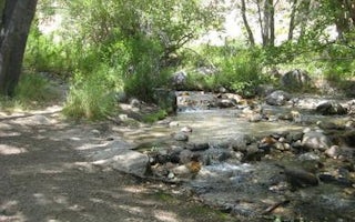
Grays Meadows
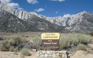
Lone Pine
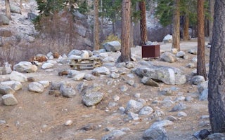
Whitney Portal
Sentinel Campground
Upper Sage Flat
Big Pine Canyon

