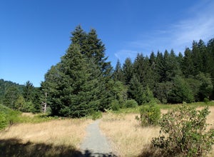
Petrolia, California
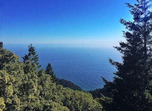
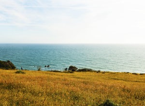
In Petrolia, California, one of the top outdoor adventures is the Lost Coast Trail. This 25-mile hiking trail offers a must-visit experience for those who appreciate scenic beauty and a bit of a challenge. The trail takes you along the rugged coastline, offering stunning views of the Pacific Ocean. You'll also pass by Black Sands Beach, a unique feature that's a sight to behold. The trail is rated as moderate to difficult, so be prepared for some steep inclines and uneven terrain. It's not just for hikers, either. Bird watchers will enjoy spotting various species, while the more adventurous can try their hand at fishing in the nearby Mattole River. The best Trails and Outdoor Activities in Petrolia truly showcase the natural beauty of California.
Top Spots in and near Petrolia
-
Petrolia, California
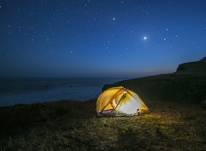
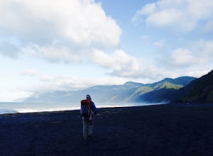
The Lost Coast: Mattole to Black Sands Beach
4.825.05 mi / 653 ft gainThis is an absolutely stunning 25 mile thru-hike on the northern part of California's coast. To accomplish this hike, you'll either need to bring 2 cars or use a shuttle service. It's recommended that you drop one car at the Shelter Cove Trailhead (40.0455053,-124.0778196) and either use one of t...Read more -
Ferndale, California
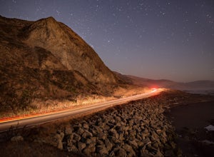
Night Photography at Devil's Gate, Lost Coast
This section of the Lost Coast resides in between Capetown and Petrolia, CA. Entering "Lost Coast California" into Google Maps or a GPS should take you to the road you will need to be on. About 2 miles south of the Location marker the GPS gives you, just past Durr Creek, you should arrive at Devi...Read more -
Garberville, California
King's Peak via Lightning Trailhead
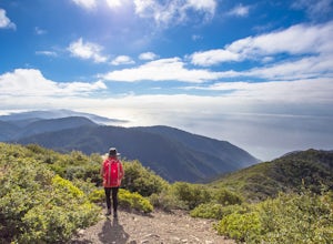
5.04.79 mi / 1942 ft gainKing's Peak is the tallest peak in the King Range, the home of the famous and spectacular "Lost Coast". At an elevation of 4,000' and less than 3 miles from the ocean, King's Peak provides stunning views in all directions: of canyons, beaches, foggy valleys, and the many greenhouses that dot the ...Read more -
Humboldt County, California
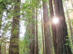
Hike the Humboldt Redwoods River Trail
3.4 mi / 450 ft gainYou probably won't find as many people along this trail (which I like!) as it's unmarked and sits just south of Rockefeller Loop which draws a good number of visitors, primarily because it has the tallest trees (also definitely worth a visit!). The River Trail is a relatively short, flat hike wit...Read more -
Humboldt County, California
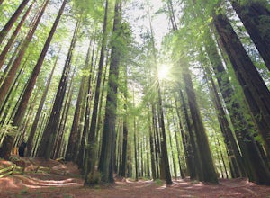
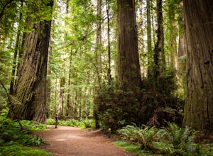
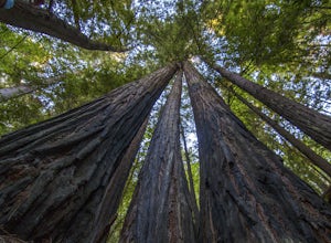
Hike the Rockefeller Forest Loop
0.7 mi / 20 ft gainFrom the Avenue of the Giants turn west onto Mattole Road. Continue 1.5 miles to the Rockefeller Forest trailhead.Rockefeller Forest is a less well known grove in Humboldt Redwoods State Park. It's distance from the main road shelters the forest from traffic noise. The trail is wide and smooth, ...Read more -
Redcrest, California
Hike through the Founder's Grove in Humboldt Redwoods State Park
5.01.3 miThe Founder's Grove is easily accessed from Highway 101 in northern California. The grove is also on the Avenue of the Giants Scenic Highway. This area, named after the founders of the Save the Redwoods League, is flat and has a relatively open understory making it one of the most picturesque gro...Read more -
Whitethorn, California
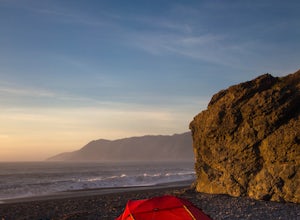
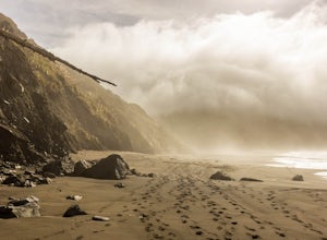
Black Sands Beach on the Lost Coast
5.00.5 miBlack Sands Beach and all of the Lost Coast is almost indescribable in its ruggedness and beauty. Black Sands Beach sits along the southern portion of of the famous Lost Coast Trail, and is accessible by one of the two roads that go across the King Range to the ocean. From 101 in Garberville, hea...Read more -
Whitethorn, California
King's Peak from Shelter Cove
2.030.85 mi / 6204 ft gainAfter parking at Shelter Cove and securing a camping permit ($3 per night in the backcountry) follow the bear prints down the coastline for 5 miles, keeping in mind that the tide devours the beach every 12 hours. Parts of the beach become impassable at high tide. Camp overnight at Buck Creek, th...Read more -
Whitethorn, California
Chinquapin Loop on The Lost Coast
4.07.87 mi / 2159 ft gainI did this hike the day before setting out on a backpacking trip along the northern section of The Lost Coast Trail and it was a fantastic warm up hike. The Chinquapin Loop is a loop off of The Lost Coast Trail along Chemise Mountain, near the start of the southern section of the LCT. You can st...Read more -
Garberville, California
Explore the Avenue of the Giants
5.0The Avenue of the Giants is a scenic 31 mile long highway that is surrounded by 51,222 acres of giant redwood trees in the Humboldt Redwoods State Park. This road offers amazing views of the redwoods. The Avenue of the Giants runs through many small towns that offer tons of tourist attractions.Th...Read more -
Whitethorn, California
Jackass Creek via Lost Coast Trail
23 mi / 8071 ft gainThe Lost Coast is infamous. For its name alone draws visitors from around California and the world. A 26-mile stretch of coast, road less, with a wall like mountain range just yards from the ocean and beach. But with the Lost Coast being what it is, there is a lesser-known, yet equally stunning h...Read more -
Whitethorn, California
Camp at Usal Beach on the Lost Coast
5.0Getting to Usal beach can be a little tricky, but it is well worth the effort. Usal Road (Mendocino Country Rd 431) is found 13 miles north of Westport or 14.5 miles southwest of Legget on Highway 1. The turn off is extremely easy to miss so it is recommended to use your odometer to gauge how clo...Read more -
Leggett, California
Taber Nature Trail
0.81 mi / 217 ft gainSigns at the trail head for the Taber Trail state it is 1.1 miles long. That is much shorter than the actual 1.8 miles my GPS put it at. The trail sign also claims it is wheelchair accessible. I can see that for a little ways but as the trail begins to climb, I think this would be a tough go. Th...Read more
Top Activities
Camping and Lodging in Petrolia
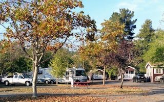
Benbow KOA Holiday
Fir Cove Campground
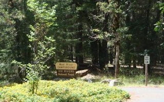
Mad River Campground

