Lakeport, California
Lakeport, California is a must-visit destination for those seeking outdoor adventures. The city offers some of the top hiking trails for both beginners and seasoned hikers. One of the best trails is the Wright Peak Summit Trail, a moderately difficult hike that rewards you with panoramic views of Clear Lake and Mount Konocti. The trail is home to unique rock formations and diverse plant life. For water activities, Clear Lake State Park offers kayaking and fishing. The park is also home to Kelsey Creek, a popular spot for bird watching. For a scenic drive, head to the Lake County Wine Studio, where you can enjoy stunning views of the vineyards. Don't miss out on these outdoor activities and attractions in and near Lakeport for an unforgettable trip.
Top Spots in and near Lakeport
-
Kelseyville, California
Camp at Clear Lake State Park
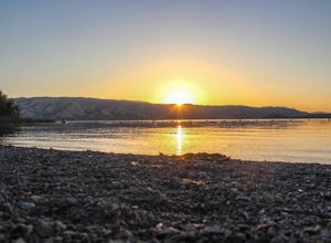
Clear Lake State Park is only two hours from downtown San Francisco and Sacramento. The state park offers amazing opportunities to photograph deer in the area and pick blackberries for breakfast on a morning stroll. On my visit I saw over 15 deer and one buck in full velvet. The sunrise and sunse...Read more -
Lake County, California
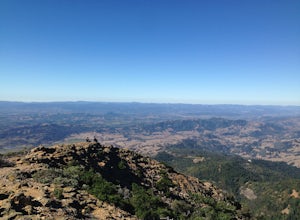
Hike to Wright Peak near Clearlake California
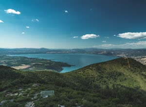
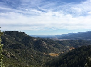
7.6 mi / 1853 ft gainHiking to Wright peak offers some of the best views of Clear Lake, California's largest natural freshwater lake. Located just about 2.5 hours north of San Francisco, this hike is accessible and easy to follow. To get to the trailhead, follow the 101 north to Hopland. Then take the 175 west towar...Read more -
Lakeport, California
Camp at Red Mountain Campground
Red Mountain has 10 units, toilets, barbecue grates, and picnic tables. There is no potable water at this time.To get there, from Ukiah, exit U.S. 101 South at Talmage Road, then 1.5 miles east to Eastside Road. Turn right and proceed 0.3 mile to Mill Creek Road. Follow Mill Creek Road 5 miles to...Read more -
Clearlake Oaks, California
Cache Creek Ridge: Judge Davis Trailhead
4.010.26 mi / 2018 ft gainCache Creek Ridge: Judge Davis Trailhead is an out-and-back trail that takes you by a river located near Williams, California.Read more -
Ukiah, California
Hike Montgomery Woods State Nature Reserve Loop
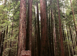
4.52 mi / 150 ft gainThis is a great find. We saw it on the map it was on the way from Mendocino to our next stop, Napa Valley. So glad we took the time to visit. It is a small park with about a two mile loop hike in a valley floor loaded with huge redwoods and few people. The trail is very easy and starts along a sm...Read more -
Calistoga, California
Hike Mount Saint Helena
4.310 mi / 2100 ft gainDrive north from Napa following Rt 29, through Calistoga and up into the forest. After passing the sign for Robert Louis Stevenson State Park, and just over the crest, there is a parking area on the right side of the road, opposite the trailhead on the left. Parking fills up by mid-morning so get...Read more -
Guerneville, California
Austin Creek State Recreation Area Loop
5.08.65 mi / 1722 ft gainThe hike starts at the Gilliam Creek Trailhead, halfway up Armstrong Woods Road on the way to Bullfrog Pond. There is an $8 fee to enter the park, to be paid at the ranger kiosk as you enter Armstrong Woods. HIKING Begin hiking by descending the Gilliam Creek Trail. The descent is long and ste...Read more -
Guerneville, California
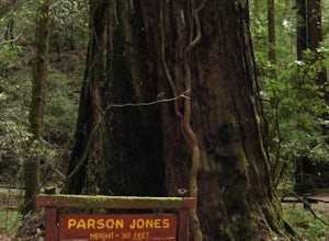
Parson Jones and Colonial Armstrong Redwood Trees
5.0The Parson Jones Tree is the tallest tree in the reserve, measuring more than 310 feet (94 m) in height. This is longer than the length of a football field! Named after a lumberman who chose to preserve this portion of the park in the 1870s, the Colonel Armstrong Tree is the oldest tree in the ...Read more -
Guerneville, California
East Ridge - Pool Ridge Loop
4.53.37 mi / 810 ft gainThis park most resembles Muir Woods, and if you're looking to get out of the tourist trap, head to Armstrong Redwoods and make a day of it. This 3-mile hike takes off from the sign pointing to East Ridge Trail. As you begin a slight climb up the trail, you'll be under the cover of the redwoods, s...Read more -
Philo, California
Camp at Camp Navarro
5.0Camp Navarro is located about 2.5 hours north of San Francisco. This redwood getaway is nestled between branches of the North Fork of the Navarro River. Equipped with a lodge, coffee, shop, water and toilets, Camp Navarro allows you to escape from the stresses of city life while still enjoying a ...Read more -
Calistoga, California
Hike the Oat Hill Mine Trail
5.08.3 miThe incline on this trail begins pretty much right away and is fairly gradual for the entire hike, some of it is quite rocky, making this an easy to moderate level hike. However, with some shade (probably wouldn't attempt it on a hot summer day) and the sweeping views of the valley that get bette...Read more -
Calistoga, California
Hike Bald Hill in Robert Louis Stevenson State Park
3.2 mi / 1200 ft gainBald Hill is the first serious peak/summit that can be reached via the Oat Hill Mine Trail as it breaks from the more popular loop and heads into the heart of Robert Louis Stevenson State Park. To get there you can either begin at the less frequently used trailhead at Picket and Rosedale Roads he...Read more -
Larkfield-Wikiup, California
Creekside Trail to Canyon Trail to Ridge Trail Loop
4.04.46 mi / 850 ft gainCreekside Trail to Canyon Trail to Ridge Trail Loop is a loop trail that takes you through a nice forest located near Santa Rosa, California.Read more -
Forestville, California
Mother's Beach ("Mom's Beach")
4.0Mother's Beach, known locally as Mom's Beach, is located in Forestville, California. This beach is a hidden gem situated on the scenic Russian River, between Steelhead Beach and Sunset Beach. Dog Friendly: Mom's Beach is a great spot to bring your pup on a leash. Times of Operation: The bea...Read more -
Forestville, California
Sunset Beach River Park
4.0Sunset Beach River Park is located off River Road in Forestville, California. The beach offers up picturesque views of the Russian River and is a great spot to end your float if starting at Steelhead Beach. The Beach: The beach is about a quarter of a mile walk from the parking area. Keep this ...Read more -
Forestville, California
Steelhead Beach
Steelhead Beach offers two great spots to access the river. There's a small beach on the right-hand side of the beach (south end) and a launch site on the left (north end) of the beach. The launch point makes for a great spot to start your float down the river. Make sure you have a shuttle car or...Read more
Camping and Lodging in Lakeport
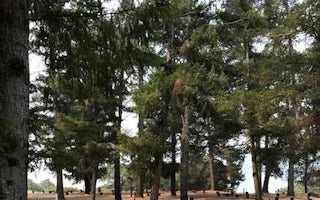
Bushay Recreation Area
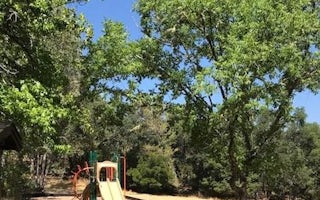
Chekaka Recreation Area Lake Mendocino
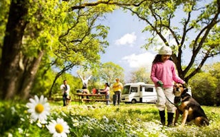
Cloverdale / Healdsburg KOA
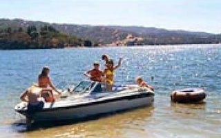
Kyen Campground And Oak Grove Day Use Area
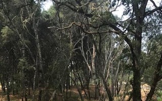
Pomo Day Use Area
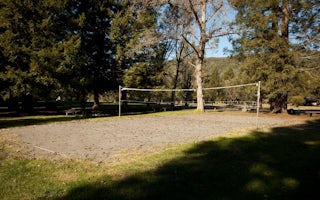
Warm Springs Rec Area

