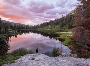
Lakehead-Lakeshore, California
Top Spots in and near Lakehead-Lakeshore
-
Redding, California
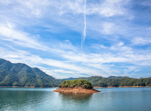
Houseboat Lake Shasta
1 mi / 1 ft gainLake Shasta sits at the foot of infamous Mt Shasta, past the major Northern California city of Redding. From the Bay Area you can count on at least a 3.5 hour drive to get to waters edge, but the drive goes by quickly just cruising on HWY 5. There are multiple Marinas on Shasta but the largest is...Read more -
Redding, California
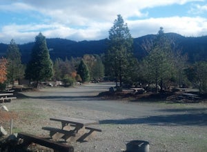
Camp at Shasta Campground
Shasta Campground offers 27 tent/trailer campsites, picnic tables, paved loop road, vault toilets, OHV staging area, potable water, and fire rings. To get to the campground head along Keswick Reservoir, below Shasta Dam. Take I-5 north from Redding about 10 miles to Shasta Dam Blvd. Follow Shas...Read more -
Castella, California
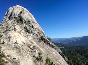
Hike Crags Trail to Castle Dome
4.45.1 mi / 2135 ft gainOne of the gems in the Shasta area, Castle Crags. You can spot these dramatic granite towers from a distance and their jagged formations beckon climbers and hikers alike. Imagine a slice of the Dolomites plucked out of Italy and placed in Northern California. Crags Trail to Castle Dome winds up t...Read more -
Round Mountain, California
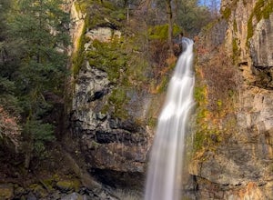
Explore Potem Falls
3.70.5 miPark in the pull-out on Fenders Ferry Road. There you will find the Potem Falls trailhead. The hike is only 0.5 miles long--you'll likely spend more time enjoying the falls than getting there! Bring your swim gear if you want to jump in the pool. Trail is dog friendly and open March-October.Read more -
Trinity Center, California
Camp at Hayward Flat on Trinity Lake
We drove all around Trinity Lake and this was the best campground we found! Located right on Trinity Lake you will find Hayward Flat Campground. From Weaverville California you will follow highway 3 north about 20 miles. Then take a right on Hayward Flat road two miles. Boom, you are there. The...Read more -
Dunsmuir, California
Heart Lake Trail From Castle Lake
5.02.46 mi / 719 ft gainHeart Lake Trail From Castle Lake is an out-and-back trail where you may see beautiful wildflowers located near Dunsmuir, California.Read more -
Dunsmuir, California
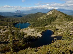
Hike to Heart Lake in the Klamath Mountains
4.52.2 mi / 600 ft gainScenes like this are rarely so accessible. Heart Lake is nestled in a bowl below Castle Peak, on the edge of the Castle Crags Wilderness just west of I-5 and the city of Mt. Shasta. The parking lot and trailhead are both located on the shore of Castle Lake, a much larger lake that is stunning in ...Read more -
Trinity Center, California
Backpack to Bear Basin and The Four Lakes Loop
30.1 miDay 1 Swift Creek Trail Head to Bear BasinThe trip begins at the Swift Creek trailhead in the Trinity Alps Wilderness. Permits are very easy to get, just stop by the Ranger station in Weaverville, CA. They are free and can be self-issued in front of the ranger station, or you can go in if you wou...Read more -
Redding, California
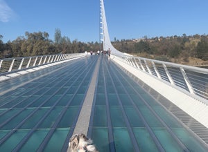
Hilltop Trail Head to Sundial Bridge
4.02.27 mi / 167 ft gainHilltop Trail Head to Sundial Bridge is an out-and-back trail where you may see wildflowers located near Redding, California.Read more -
Redding, California
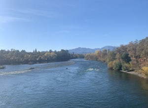
Arboretum Loop Trail
3.52.07 mi / 43 ft gainArboretum Loop Trail is a loop trail that takes you by a river located near Redding, California.Read more -
Dunsmuir, California
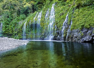
Mossbrae Falls
5.03.01 miDisclaimer: Hiking to the falls is trespassing. Fines can be as much as $300. If you choose to hike to the falls, you're doing so at your own risk so please be cautious and cognizant of your surroundings. If you live anywhere near Northern California or Southern Oregon, you may have heard about ...Read more -
Trinity Center, California
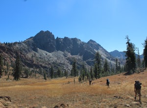
Backpack Stony Ridge in the Trinity Alps
16.5 mi / 4500 ft gainThe Trinity Alps has miles and miles of beautiful trails, but one of the more stunning sections is the Four Lakes Loop. There are two main trail heads that access the trail. Long Canyon Trail and Stony Ridge Trail both are both beautiful but Stony Ridge is the more popular route yet strenuous. To...Read more -
French Gulch, California
Hike to Crystal Creek Falls in Whiskeytown National Recreation Area
0.6 miFrom Redding pass the visitor center on highway 299 and pass the lake. Make a left turn on to Crystal Creek Road. Follow this road for about 2 miles. There will be signs to make a left turn to Crystal Creek Falls. This is less of a hike and more of a walk. The trail is paved. It is less than a ha...Read more -
Trinity Center, California
Stoddard Lake
5.07.01 mi / 1325 ft gainThe trail is a bit rocky, so wear sturdy hiking boots or trail runners. While your elevation gain is only 800 total, you will travel upwards of 1,982ft in elevation given the ups and downs of the trail. At mile 1.75, there is a spring that feeds into a large meadow. At mile 3, there is another sp...Read more -
French Gulch, California
Hike to Whiskeytown Falls in Whiskeytown National Recreation Area
2.8 mi / 787 ft gainComing from Redding pass the visitor center and heading down highway 299. Make a left turn on Crystal Creek Road. Drive about 3.75 miles and on your left will be the Mills Creek Trailhead. Start hiking. You will start headed downhill towards the creek. You will cross Crystal Creek on a footbridge...Read more -
Igo, California
Hike to Brandy Creek Falls in Whiskeytown National Recreation Area
5.03 mi / 500 ft gainMy favorite hike in Whiskeytown National Recreation Area. From the visitor center you will take Kennedy Memorial Drive towards the dam, make a left at Brandy Creek Road. At a junction for Sheep camp/Shasta Bally make a left. You will arrive at the trailhead. This hike follows a beautiful stream t...Read more
Top Activities
Camping and Lodging in Lakehead-Lakeshore
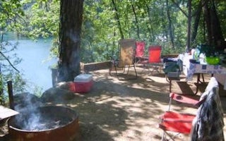
Lakehead-Lakeshore, California
Antlers
Overview
Antlers Campground is situated on a bluff above the Sacramento arm of Shasta Lake. The grounds are heavily forested with pine tr...
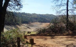
Shasta County, California
Nelson Point
Overview
Nelson Point Campground is situated along the Sacramento Arm of Shasta Lake, easily accessible from 1-5 and located nearby many ...
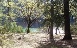
Gilman Road
Moore Creek
Overview
Moore Creek Campground is situated on the McCloud Arm of Shasta Lake. This cozy campground is partially shaded and can accommoda...
Gilman Road
Ellery Creek
Overview
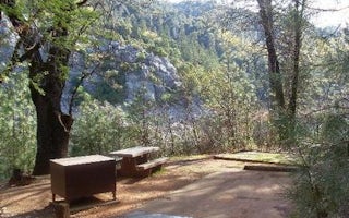
Ellery Creek is located on the McCloud Arm of Shasta Lake. The campground is terraced, providing views of the lake from all of t...
Hirz Bay Road
Hirz Bay
Overview
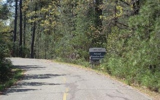
Hirz Bay Campground is nestled among Manzanita and oak trees on a hilltop overlooking the McCloud Arm of Shasta Lake. The scenic...
Shasta County, California
Dekkas Rock
Overview
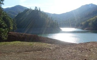
Dekkas Rock Campground provides scenic views of the mountainous shoreline from the McCloud Arm of Lake Shasta. This group campgr...

