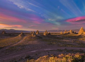
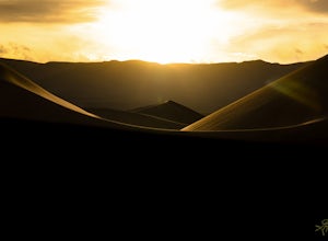
Harrisburg, California
Harrisburg, California is a top destination for outdoor adventures, with the best trails and outdoor activities. A must-visit is the Harrisburg Hiking Trail, known for its scenic beauty. The trail offers a moderate difficulty level, making it suitable for hikers of all skill levels. It's a 5-mile loop that winds through dense forests, with views of the stunning Harrisburg Lake. The trail also features unique rock formations and a beautiful riverside. Other outdoor activities in and near Harrisburg include fishing in the Harrisburg River and bird watching at the Harrisburg Bird Sanctuary. These attractions make Harrisburg a great place for outdoor adventures.
Top Spots in and near Harrisburg
-
Inyo County, California
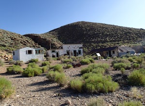
Explore Aguereberry Camp
Pete Agueberry came Death Valley in 1905. After a legal battle, Pete gained control of the Eureka Mine in 1909. He worked the mine alone for nearly 40 years before his death. The original cabin that Pete lived in is still on the site. The buildings in the front were built in the 1940's as guest h...Read more -
Inyo County, California
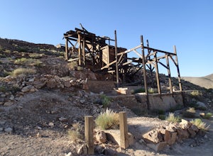
Explore the Eureka Mine and the Cashier Mill
The Eureka Mine was a gold mine founded by Shorty Harris and Pete Aguereberry. Pete won a legal battle and took control of the mine in 1909. It is said that the mine kept Pete making money for 40 years and earned $175,000 from the mine. That was at $20 per ounce. At current gold prices, the amoun...Read more -
Harrisburg, California
Drive Aguereberry Point Road
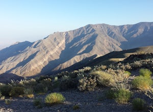
This was one of the more enjoyable drives I did in the park. I explored the area late one afternoon, checking out Aguereberry Camp and the Eureka Mine when I decided to explore further up to the end of Aguereberry Road. The drive is awesome, especially late in the day. The road is accessible b...Read more -
Inyo County, California
Explore Skidoo Road
Skidoo Road is the first dirt road on the left you encounter when driving Emigrant Canyon Road. The road is suitable for any car until you reach an old mine on the right atop a hill. Directly to the left is a prospector's wood cabin. Both are in very good condition and worthy of a stop to chec...Read more -
Inyo County, California
Camp at Death Valley's Wildrose Campground
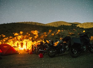
There is a ton to see here, exploring Death Valley is the perfect way to spend a weekend away. We decided to explore it with a group of friends on motorcycles but a car will do just fine too.Death Valley is located in Eastern California's Mojave Desert. From LA, take highway 395 and meet up with ...Read more -
Inyo County, California
Hike the Hummingbird Spring Trail
2 mi / 850 ft gainThis hike was amazing to me. This trail in not listed on any park service map. If you have the Death Valley National Geographic Map, there is a trail noted at the base of Pinon Mesa (which is not really a mesa so don't look for it) that leads to Hummingbird Spring. Since there was a noted trail ...Read more -
Inyo County, California
Summit Telescope Peak
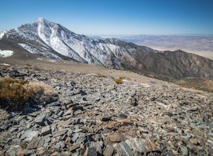
12.2 mi / 3258 ft gainThe trail starts at Mahogany Flat campground which can be hiked to from the Charcoal Kilns to the north or more immediately accessible via 4WD on a dirt access road - use caution when driving this road in icy conditions. Once at the Mahogany Flat Campground, the trailhead is towards the south an...Read more -
DEATH VALLEY, California
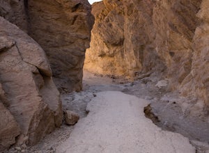
Hike Mosaic Canyon, Death Valley
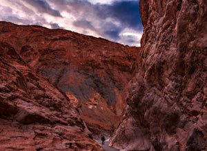
4.02 mi / 814 ft gainMosaic Canyon is located a quarter mile west of Stovepipe Wells Village. From the 190 Highway, take the 2 mile gravel road to the canyon parking lot. The road is very rough and bumpy, but a regular passenger car will be able to make the drive. A high clearance 4x4 vehicle will not have any proble...Read more -
Furnace Creek, California
Hike Golden Canyon, Death Valley
5.01.5 mi / 685 ft gainGolden Canyon is located about 10 minutes south of Furnace Creek in Death Valley NP, on Badwater Road. Entering "Golden Canyon, Death Valley" into your phone or GPS will take you to the Golden Canyon parking area. The trail starts right off the parking lot and goes for about 1.5 miles to Red Cath...Read more -
Inyo County, California
Texas Spring Campground
This is one of the best campgrounds in Death Valley that gives you the true experience of camping in the middle of a desert. The campground is surrounded with badlands and hills where you can climb to explore and see a panoramic view of mountains all around. Texas Spring campground offers 92 sit...Read more -
Death Valley, California
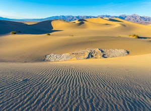
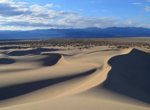
Photographing the Mesquite Flat Sand Dunes
4.9The Mesquite Flat Sand Dunes are the most photographed dunes at Death Valley National Park. To reach the dune’s parking lot from Furnace Creek, drive 22 miles west on Highway 190. Three miles before you reach Stovepipe Wells, the dunes will be clearly visible from the road and you’ll turn right i...Read more -
Death Valley, California
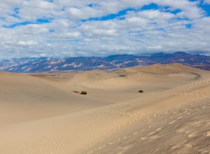
Sandboarding the Mesquite Sand Dunes
3.0Snow level is a little lacking this year? No time or money to fly out to Park City or Whistler? Head over to Death Valley, America's second largest National Park and give sand boarding a try while exploring this amazing park. It's a unique and adrenaline filled activity with one of the most beaut...Read more -
Furnace Creek, California
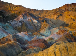
Artist's Palette
4.00.4 mi / 89 ft gainLet’s just start this off by saying, PREPARE FOR THE HEAT. Death Valley has the highest recorded temperature on earth at over 130 degrees Fahrenheit. If you are planning to visit in the summer…be ready. Luckily, Artist’s Palette is not far from the parking the area and the saving grace of Ai...Read more -
Inyo County, California
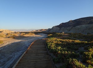
Hike the Salt Creek Interpretive Trail
5.00.9 mi / 26 ft gainThe trail is a loop boardwalk. At the furthest point, there is a sandy footpath that will lead you to a creek and will provide a more secluded experience. Interpretive signs have been placed strategically on the trail, pointing out species of interest. The endangered pupfish is found in this cree...Read more -
Furnace Creek, California
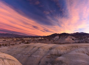
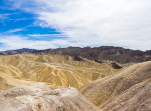
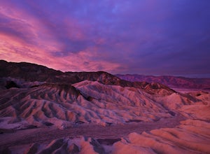
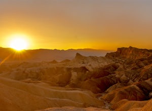
Zabriskie Point
4.70.29 mi / 7 ft gainZabriskie Point is a unique viewpoint in Death Valley National Park located just east of Furnace Creek on Hwy 190. The viewpoint is just a short stroll from the parking lot, so it’s great for groups and families. When you reach the viewpoint, you’ll be overlooking the epic maze of finely ridged b...Read more -
DEATH VALLEY, California
Badlands Loop in Death Valley
4.62.56 mi / 463 ft gainThe Badlands Loop is a surreal 2.5 mile walk down into the gullies and gulches below Zabriskie Point in Death Valley. The loop takes you past distinct rock formations, through mud tiled washes, past old abandoned borax mines and finally up above the eroded arteries to a fantastic view of an other...Read more
Top Activities
Camping and Lodging in Harrisburg
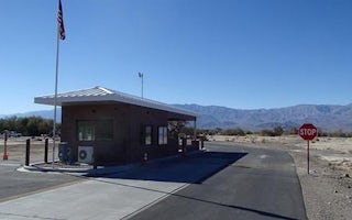
Furnace Creek, California
Furnace Creek
Overview
Furnace Creek Campground is in a central location in Death Valley National Park. It is popular for RV and group camping; tent si...

