Cayucos, California
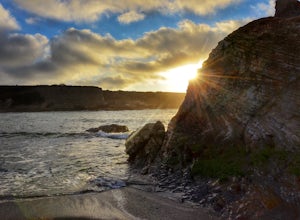
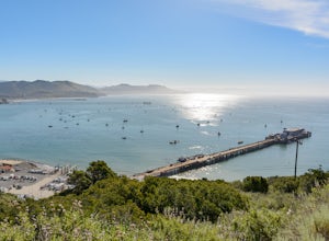
Cayucos, California, is a top destination for outdoor adventures. One of the best trails is the Estero Bluffs Trail, a must-visit for its scenic beauty. This trail offers stunning views of the Pacific Ocean and unique rock formations. It's a moderate difficulty hike, perfect for those seeking a bit of a challenge. Along the way, you'll encounter the Cayucos Creek, a small but beautiful body of water. Other outdoor activities in and near Cayucos include fishing on the historic Cayucos Pier and beachcombing along the sandy shores. Nearby, Harmony Headlands State Park offers additional hiking opportunities with panoramic ocean views. For those seeking a bit more adventure, Morro Rock, a notable landmark, is just a short drive away. Enjoy the best trails and outdoor activities in and near Cayucos, California!
Top Spots in and near Cayucos
-
Cayucos, California
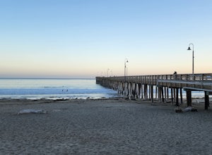
Cayucos Pier Trail
5.00.35 mi / 30 ft gainCayucos Pier Trail is an out-and-back trail where you may see beautiful wildflowers located near Cayucos, California.Read more -
Morro Bay, California
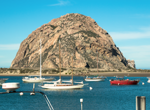
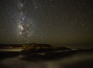
Photograph the Rock at Morro Bay
4.8Morro Bay is located west about 13 miles of San Luis Obispo. Typically Pismo Beach and San Luis are the go to spots when traveling to that area, but after spending the day there I would highly recommend giving it a visit! The first thing you'll see when pulling into downtown Morro Bay is the mas...Read more -
Morro Bay, California
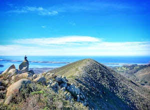
Quarry and Park Ridge Trail Loop
4.03.04 mi / 961 ft gainPark Ridge is a double peaked ridge, elevated at 911ft, which stands next to Cerro Cabrillo, one of the Nine Sisters. The stunning 360* degree views at the top of Morro bay, Los Osos and San Luis Obispo, make this hike worth exploring. There are two ways to access the top. Park Ridge Trail takes...Read more -
Baywood-Los Osos, California
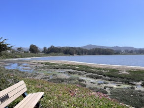
Baywood Park & Pier
5.0A quiet little beach front, with a raised boardwalk and beautiful views all around. A great place to walk the dog or take small children. Amazing sunsets and A+ for bird watching. Excellent spot to launch a kayak, canoe, or SUP. But watch the tides before you do. The water is usually glassy when ...Read more -
San Luis Obispo County, California
Spooner's Cove
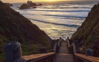
5.0Spooner’s cove is one of those small hidden beaches where you can watch stunning sunsets in a peaceful environment. Located in Montana De Oro State Park, the small gem is surrounded by countless hikes and camping spot. It is also one of the only areas of the park that is dog friendly. If you are ...Read more -
San Luis Obispo County, California
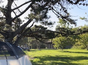
Camp at Montaña de Oro State Park
5.0Located about 7 miles south of Morrow Bay, follow Los Osos Valley Rd into the state park. Watch for the signs to park, as you will be cited after 10pm.The campground is located just across the road from the famous Spooner's cove, but there are any number of trails and hikes you can enjoy (check ...Read more -
San Luis Obispo County, California
Montaña de Oro Bluff Trail
4.02 mi / 302 ft gainThe Bluff Trail is a simple walk that takes you along the coast in Montaña de Oro. The trailhead is located just past Spooner's Cove and has parking on both sides of the road. The path is paved, making it easily accessible for anyone who wants to enjoy these incredible views. If you're feeling a...Read more -
San Luis Obispo, California
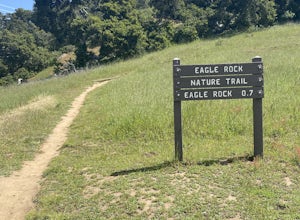
Eagle Rock Nature Trail
4.01.66 mi / 430 ft gainEagle Rock Nature Trail is an out-and-back trail where you may see beautiful wildflowers located near San Luis Obispo, California.Read more -
San Luis Obispo, California
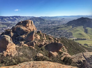
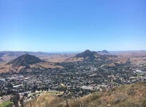
Bishop's Peak Trail
4.83.17 mi / 928 ft gainBishop's Peak is one of the most frequented hikes of the San Luis Obispo Area. With a 950ft elevation gain in an estimated 3 mile trek, the summit's peak rests at 1,559 feet. The hike is both demanding and rewarding - the panoramic views at the top of the nearby volcanic morros and San Luis Obisp...Read more -
Paso Robles, California
Bike the Salinas River Trail
2 mi / 200 ft gainThe Salinas River Walk in Paso Robles is one of the first sections of a planned 30 mile river trail extending from Santa Margarita in the south to San Miguel. The trail can be accessed at several places, primarily at the south end at Lawrence Moore Park at the end of Riverbank Lane where there i...Read more -
Cambria, California
Camp at San Simeon State Park
4.0San Simeon has two campgrounds to choose from – San Simeon Creek Campground has 115 campsites for tent or RV camping. Sites have fire rings and picnic tables, and nearby there is firewood for sale. Your other choice is the primitive Washburn Campground, located 1 mile inland. From this plateau, y...Read more -
San Luis Obispo, California
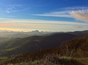
Mountain Bike Cuesta Ridge
5.07 mi / -1600 ft gainStart at the parking lot directly off of Highway 101, head up TV tower Road for 2.8 Miles and a 900' climb from 1500' to 2400'. The trail is an old fire road that has degraded over the years and is full of potholes. Starting October 2015, the road has been closed to vehicles as its being repaved ...Read more -
Paso Robles, California
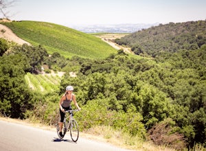
Bike Peachy Canyon
10.5 mi / 2200 ft gainPeach Canyon is the *the* iconic cycling road in the Paso Robles area, beginning downtown and connecting with many other roads in the mountains west of town making for numerous beautiful loops through vineyards, orchards, and black oak groves. Peachy Canyon Road begins at Olive and 6th Street and...Read more -
San Luis Obispo, California
Bowden Ranch Trail
4.03.34 mi / 1286 ft gainThis short but intense hike on the north east side of San Luis Obispo, offers an amazing view of the town. This hike is roughly 3 miles with 1300 ft of elevation gain. It provides a great cardio workout! It is also a very popular spot to hike but is less crowded than Bishop Peak. It's a dog frie...Read more -
San Luis Obispo, California
Point San Luis Lighthouse via Pecho Coast Trail
3.4 mi / 879 ft gainThis guided roundtrip hike to Point San Luis Lighthouse has one of the best views of the central coast coastline. You will get a chance to see the Avila Beach, Avila Pier, Call Poly Pier, and Harford Pier from a high point. The trail crosses through a land owned by PG&E; therefore, the hike...Read more -
San Luis Obispo, California
Bike or Run the Bob Jones Trail
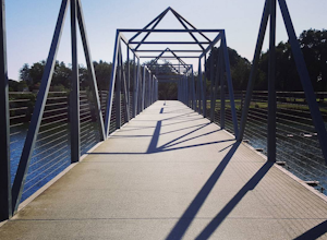
5 miThe Bob Jones Trail provides a variety of activities -- running, walking, biking, skateboarding/rollerblading, and some exploring by the creek. You can choose where you would like to start, across the street from the Central Coast Aquarium off Avila Beach Dr. or from the parking lot off Ontario R...Read more
Camping and Lodging in Cayucos
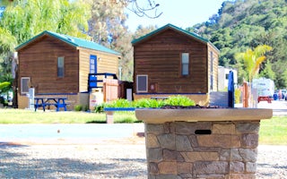
Avila / Pismo Beach KOA
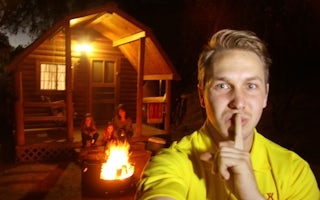
Santa Margarita KOA Holiday

