Burney, California
The Burney Creek Trail in Burney, California, is a top choice for outdoor adventures. This scenic 1.3-mile loop trail features a waterfall and is suitable for all skill levels. It's a must-visit for those who enjoy walking, running, and bird watching. Another highlight nearby is the Pacific Crest Trail, known for its stunning views and challenging terrain. If you're into fishing, the nearby Lake Britton is teeming with trout. For a more relaxed activity, the McArthur-Burney Falls Memorial State Park offers picnic spots with a view of the majestic Burney Falls. These are some of the best trails and outdoor activities in and near Burney.
Top Spots in and near Burney
-
Burney, California
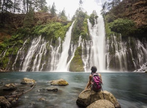
Burney Falls
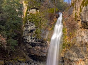
4.90.97 mi / 82 ft gainBurney Falls can be seen right from the parking area, but this scenic loop is a great hike for all levels of hiking ability. Heading out on this trail will take you to the base of this 129 foot tall waterfall. The Hike Burney Falls has a 1.3 mile loop trail that takes approximately 30 minutes ...Read more -
Burney, California
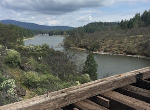
"Stand by Me" Bridge
4.0The "Stand by Me" bridge is located in Northern California about 20 miles north of Lassen National Forest and two and a half miles (2.4 mi) from Burney Falls at McArthur-Burney Falls Memorial State Park. The bridge is approximately 7.5 miles north of Burney, CA. From the town of Burney, take Hw...Read more -
Burney, California
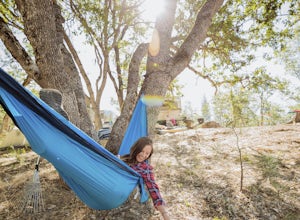
Northshore Campground
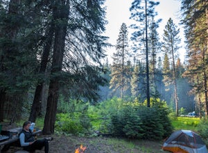
The name of the campground, Northshore Campground, speaks for itself. It's located on the northern side of Lake Britton, across the water from the main state park camping area. This is nice for us as it's easier to get a spot, and it's much quieter. Campground Reservations It's a PG&E campgr...Read more -
Montgomery Creek, California
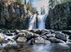
Hatchet Falls (Lion Slide)
2.5About 45 min outside of Redding, California is this breathtaking waterfall, with being a relatively short hike makes it fun for all ages. The hike takes about 5 minutes from the road. Finding Hatchet Falls (aka Lion Slide) from the road are another story, with these falls not being marked anywher...Read more -
Shasta County, California
Magee Peak & Crater Peak
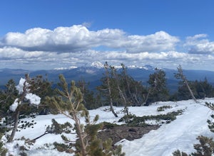
7.19 mi / 2887 ft gainThe trail to Magee Peak and Crater Peak makes for a fairly strenuous hike (mostly due to altitude). This USFS out-and-back trail has incredible views of the major peaks in the Northern California & Southern Oregon. Take in a spectacular close-up of Lassen NP and great views of Shasta, Castl...Read more -
Old Station, California
Subway Cave Lava Tubes
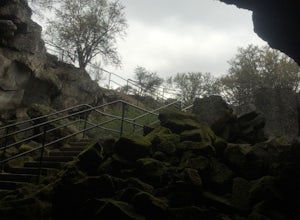
5.00.65 mi / 33 ft gainThe Subway Cave Lava Tube is located at Old Station in the Lassen National Forest. About 26 miles south of Burney, CA. If coming from the North, it is on Highway 89 (Volcanic Legacy Scenic Byway) on your left right before Highway 44. If coming from Redding, about 60 miles away, you would enter th...Read more -
Round Mountain, California
Explore Potem Falls
3.70.5 miPark in the pull-out on Fenders Ferry Road. There you will find the Potem Falls trailhead. The hike is only 0.5 miles long--you'll likely spend more time enjoying the falls than getting there! Bring your swim gear if you want to jump in the pool. Trail is dog friendly and open March-October.Read more -
Shingletown, California
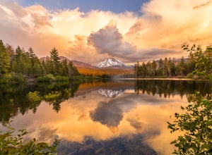
Manzanita Lake Loop
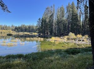
4.01.88 mi / 121 ft gainManzanita Lake Loop Trail is a loop trail that takes you by a lake located near Old Station, California.Read more -
Shasta County, California
Photograph Lassen Peak
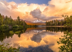
4.8Located in Northern California, Lassen Volcanic National Park is an astoundingly beautiful, diverse, yet under-appreciated park in the national park system.Manzanita Lake, located at the northwest park entrance, holds the largest campground in the park, and affords a gorgeous, photograph worthy v...Read more -
Shasta County, California
Camp out at Manzanita Lake Cabins in Lassen Volcanic NP
Deep in the Lassen National Forest is the beautiful and surprisingly one of the least visited National Parks, Lassen Volcanic National Park. On the north entrance of the park, you will find the beautiful Manzanita Lake Cabins and Campground with the gorgeous blue lake in the foreground. Getting ...Read more -
Shingletown, California
Hike the Chaos Crags Trail
3.8 mi / 915 ft gainManzanita Lake campground is located about 1/2 mile past the Northwest entrance of Lassen Volcanic National Park. The trailhead is located just before the campground sites about 0.1 mile off of the main road and marked with a sign (including a map) and a few parking spaces. The trail starts o...Read more -
Shasta County, California
Devastated Area Interpretive Trail
2.00.5 mi / 16 ft gainDevastated Area Interpretive Trail is a loop trail that is good for all skill levels located near Old Station, California.Read more -
McCloud, California
Algoma Campground
The Algoma Campsite is a free campsite along the Upper Portion of the McCloud River. It features eight sites and a pit toilet. Unlike the other campgrounds in the area, this site receives very little traffic and has no fee. To get there, take SR 89 east from the McCloud Ranger Station for 13 mi...Read more -
Old Station, California
Hike to Cinder Cone
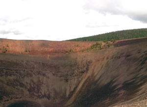
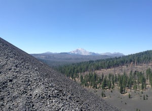
5.04 mi / 846 ft gainCinder Cone Trail For 1.2 miles, the trail gently slopes up through a forest. The Fantastic Lava Beds form a wall to your left. The Fantastic Lava Beds were formed by several eruptions of lava from Cinder Cone. The trail is mostly cinder erupted from Cinder Cone. Walking on cinder is similar to w...Read more -
Old Station, California
Hike to Snag Lake via the Cinder Cone
12.5 mi / 2000 ft gainStart from the Butte Lake trailhead, off Highway 44 at the north end of Lassen Volcanic National Park. From the parking lot walk past the little boat launch and the trailhead is obvious in front of you. Be mentally prepared to be walking in loose sand for most of this trip (and bring ankle or kn...Read more -
Shasta County, California
Summit Mt. Lassen via the Northeast Face
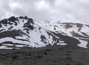
5.08 mi / 4000 ft gainThis route is perfect for those with some mountaineering skill looking to challenge themselves on either a long day climb (10-12 hours) of one of California’s most iconic peaks. 1: The approach (1500 feet of elevation gain) For the best chance of summiting, start very early, around 2-4 am. Most ...Read more
Top Activities
Camping and Lodging in Burney
Volcanic Legacy Scenic Byway
Hat Creek
Overview
Hat Creek is one of six campgrounds available in the Hat Creek Recreation Area, home to some of the area's best trout fishing. S...
Unnamed Road
Manzanita Lake Camping Cabins
Overview
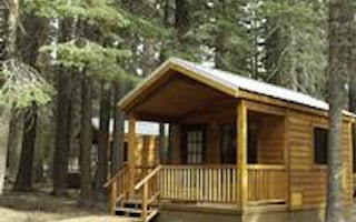
Manzanita Lake Camping Cabins offer convenience and comfort in a scenic setting of the Lassen Volcanic National Park. They are w...
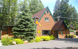
Shingletown, California
Mt. Lassen / Shingletown KOA Holiday
The natural landscape of this KOA reflects the beautiful geography of the area. This shaded, peaceful campground is nestled among cedars,...
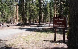
Volcanic Legacy Scenic Byway
Lost Creek Group
Overview
Lost Creek Group Campground (elevation 5,700 ft.) is approximately five miles south of Manzanita Lake, and close to the Lost Cr...
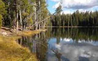
Volcanic Legacy Scenic Byway
Summit Lake North
Overview
Summit Lake North Campground (elevation 6,700 ft.) is conveniently located on the main road of Lassen Volcanic National Park. Th...
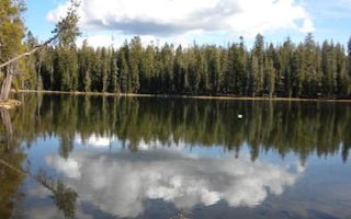
Volcanic Legacy Scenic Byway
Summit Lake South
Overview
Summit Lake South Campground (elevation 6,700 ft.) is conveniently located on the main road of Lassen Volcanic National Park. Th...

