Angels Camp, California
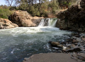
Angels Camp, California, is a top destination for outdoor adventures. The best trails and outdoor activities are abundant in this area, promising a scenic and fun-filled journey. One must-visit trail is the Natural Bridges Hiking Trail. This 2-mile round trip trail features a unique natural limestone cave that you can swim through during the warmer months. Along the trail, you'll also find the beautiful Coyote Creek, a perfect spot for a refreshing dip. For a more challenging hike, the Arnold Rim Trail offers stunning views of the Sierra Nevada mountains and the San Joaquin Valley. This 10.5-mile trail is perfect for hiking, mountain biking, and horseback riding. Near Angels Camp, you can also enjoy fishing and boating at the New Melones Lake. These outdoor activities and attractions make Angels Camp a top choice for those seeking scenic outdoor adventures.
Top Spots in and near Angels Camp
-
Angels Camp, California
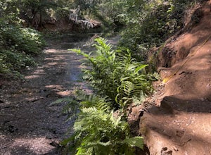
Upper Natural Bridge Trail
1.9 mi / 410 ft gainUpper Natural Bridge Trail is an out-and-back trail that takes you by a river located near Columbia, California.Read more -
Sonora, California
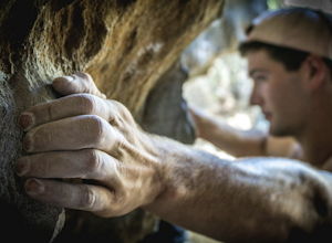
Bouldering at Columbia College
Get your hands on some limestone bouldering at this spot. There's actually two locations for bouldering in this area, Columbia College and Columbia State Park (about less than a 10 min. drive from Columbia College), but I made this specific adventure for climbing on the college. GPS Coordinates f...Read more -
Arnold, California
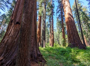
Hike the North Grove Trail in Calaveras Big Trees SP
5.01.7 mi / 40 ft gainWhen thinking of the iconic Sequoias of the Sierra Nevada, one usually thinks of Yosemite and Sequoia National Park. However, there is a often forgotten area of Giant Sierra Redwoods that gets far less traffic than the more popular groves. The North Grove Trail takes you through a grove of over 1...Read more -
Tuolumne County, California
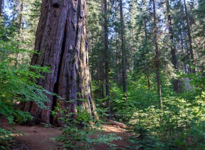
Hike the South Grove Trail in Big Trees SP
3.75 mi / 560 ft gainThe South Grove Trail of Calaveras Big Trees State Park sees far less traffic than the North Grove due to its increased mileage and distance from the park entrance. The trail starts at the South Grove Trail head which is located nine miles east of the entrance on the main park road. The trailhead...Read more -
Jackson, California
Lake Tabeaud Loop
2.31 mi / 433 ft gainLake Tabeaud Loop is an out-and-back trail where you may see beautiful wildflowers located near Jackson, California.Read more -
Groveland, California
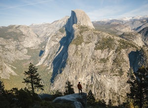
Drive the Yosemite Valley Loop
4.3Upon entering Yosemite Valley National Park I made it a point to see Half Dome, El Capitan, and Washington Column and several other famous Yosemite formations. What I didn't realize was as soon as I entered The Village was that all could be seen within a 15 minute loop around the valley floor. Th...Read more -
Pinecrest, California
Hike to Cleo's Bath
4.56.5 mi / 1263 ft gainThis 6+ mile hike is located at Pinecrest Lake in the Stanislaus National Forest located in Tuolumne County and features a lake, river, forest, waterfall, and swimming hole. It is accessible year-round, in winter there will be snow, and the hike is dog friendly except between May 15th-September ...Read more -
Groveland, California
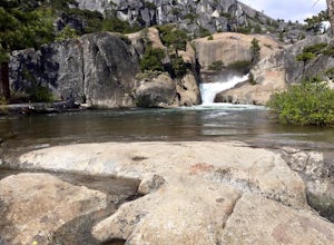
Rainbow Pool
4.5Finding Rainbow Pool is a little tricky, since it is off the side of a highway, but when you find it there is parking and bathrooms. There is a easy walkway to get down to the pool itself, and trails to climb to the top to slide or jump off the rocks. Many people tend to fish up top underneath th...Read more -
Pinecrest, California
Backpack to Chain Lakes
4.4 mi / 864 ft gainThis trip begins at ~7500 feet at the Box Springs Trailhead This trail is at the end of Forest Route 3N20Y. The trail, which is not regularly maintained and may at times be hard to follow, initially descends slightly to 7300', then stays mostly flat before rising just before the lakes. You will p...Read more -
Pinecrest, California
Backpack to Bear Lake (Emigrant Wilderness)
4.58.34 mi / 705 ft gainStart by picking up your wilderness permit at the Summit Ranger Station near Pinecrest - (209) 965-3434. There's no quota for this area, so no need for reservations in advance. To reach the trailhead, make your way south from the Ranger Station and turn left onto Crabtree Rd. Drive along this ro...Read more -
Tuolumne County, California
Backpack Chewing Gum Lake
3.34.5 mi / 1000 ft gainChewing Gum Lakes is located in Emigrant Wilderness, South of Lake Tahoe and North of Yosemite, with stunning valley views and gorgeous granite faces, peaking through the tree lines of the Stanislaus National Forest. Sitting just north of Yosemite allows you to take in a portion of the beauty of ...Read more -
Tuolumne County, California
Climb Cracks at the Gianelli Edges
We first found the Gianelli Edges mentioned in the Climbers Guide to the Sonora Pass Highway. A short 2.5-3 hour drive from our place in Oakland, it's a great spot for a quick single day or overnight climbing excursion. Just head out 120 toward Yosemite and pull off on the 108 toward Burst Rock/G...Read more -
Bear Valley, California
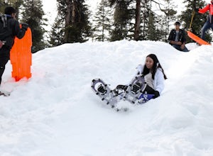
Snowshoe Bear Valley
5.0Bear Valley is a family friendly destination for snowshoeing and snow play. There are numerous trails to explore while snowshoeing. Don't be afraid to take a break and start a snowball fight! There are shops located near the resort to rent snowshoes and other snow play accessories. There are s...Read more -
Bear Valley, California
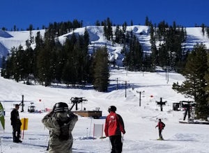
Ski or Snowboard at Skyline Bear Valley
5.0Bear Valley is nestled in the high Sierra between Yosemite and Lake Tahoe. It is a popular destination for families and nature lovers. It boasts 1,900 vertical feet over 1680 acres for skiing and snowboarding. Winter is a popular time at Bear Valley. Most visitors come to ski or snowboard, but...Read more -
Arnold, California
Backpacking to Sword Lake
5.0Getting There Take 108 to Pinecrest Lake to pick up a free backcountry permit at the Summit Ranger Station. (If you reach Strawberry you've gone too far.) Continue past Beardsley Lake to Clark's Fork Road on the left. Cross two bridges and Forest Route 6N06 will take you to the trailhead (County ...Read more -
Arnold, California
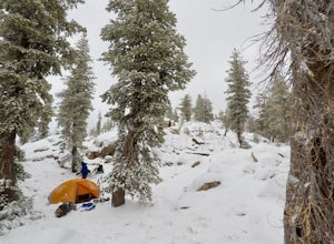
Snow Camp at Bull Run Lake
15 mi / 2400 ft gainThis is a long, beautiful snowshoe to a lake that is very accessible in the summer but almost untouched in the winter! There are a couple of ways to access the lake during the winter, but this is the most interesting: Starting at the easternmost sno-park along Highway 4 going east of Bear Valley,...Read more
Top Activities
Camping and Lodging in Angels Camp
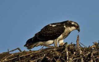
Glory Hole Recreation Area
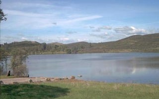
Acorn Campground
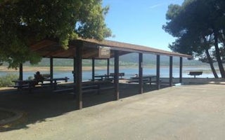
Observation Point Picnic Shelter (Ca)
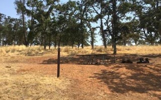
Deer Flat Boat In Campground
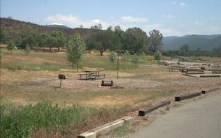
Oak Knoll Campground
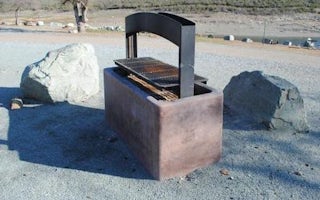
Coyote Point

