Hike to Robert's Point (Franz Josef Glacier)
Westland National Park, New Zealand
5.0
7.6 mi
/ 1640.4 ft gain
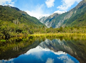
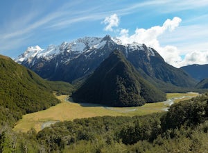
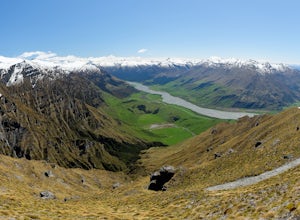
This trail is one of my favorite in New Zeanand. It wasn't so much 'built' as it was 'discovered'. The trail follows natural erosion and clean exposed flows of glacier carved granite walkways.You will enjoy thick, green rainforest, the reflective water of Pete's Pond, and a few long swinging bridges as you traverse the side of the canyon high above Waiho River.At trail's end you will find a roo...
Climb Del Campo Peak, WA
Granite Falls, Washington
5.0
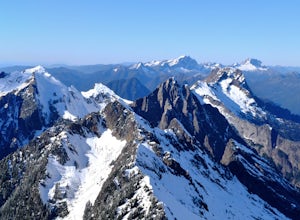
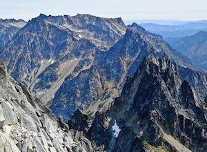
Begin by parking at Barlow Pass and following the Gothic Basin Trail to Foggy Lake. Most of the trip's mileage is consumed by just getting to Foggy Lake, from here, the summit sits about 3/4 of a mile distant and over a thousand above you.Face the mountain and identify the obvious leftward trending ramp. Follow this ramp until you reach the prominent coulior leading to the notch separating the ...
Winter Mountaineering in Arthur's Pass
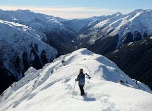
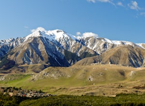
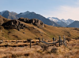
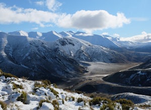
Arthur's Pass, New ZealandSeveral mountaineering routes start right off the road in Arthur's Pass making it a great alpine training ground with nearly endless opportunities. Many of the routes are just hiking routes in summer, but in winter snow piles up to transform them into steep, exposed and exciting climbs. I will outline the basics of the more popular routes below. There are place in order of difficulty, beginning...
Climb Mt. Cloudsley
Castle Hill, New Zealand
5.0
8.7 mi
/ 3937 ft gain
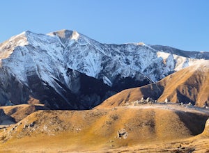
Park at the Hogsback Trailhead in Castle Hill Village. Follow the Hogsback trail by staying to the right at both upcoming "Y" intersections. Once you reach the bush edge, Long Spur and Mt Cloudsley come into view. Break off from the trail aiming for the toe of Long Spur. Then climb along the crest of the spur until you reach the summit. Return the way you came.Also a great ski touring route!
Hike Mt. Cheeseman
Castle Hill, New Zealand
9.9 mi
/ 4265.1 ft gain
Follow the Hogsback Track until you reach the clearing just after the Waterfall Creek crossing. Hike through the clearing towards the toe of Mt Cheeseman's east ridge.Work your way up the ridge by linking a network of tussock slopes, ledges, scree slopes snow patches and crumbly rock. Eventually you will reach the second, lower summit. Carefully navigate the final ridge to the summit, it can be...
Hike the Lewis Pass Tops Route
Maruia, New Zealand
5.6 mi
/ 2624.7 ft gain
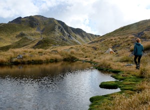
Park at the well marked Saint James Walkway Car Park. You will find the Lewis Pass Tops Trail Head across the street. The trail begins by climbing steeply through beech forest and then breaks through the tree line before arriving at the ridge crest. The maintained trail ends here but the route is fairly easy to follow. Continue following the ridge crest past several ponds for a few kilometers.O...
Hike and Climb at Castle Hill
Castle Hill, New Zealand
3.5
2 mi
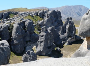
Follow the footpath from the car park. You will quickly arrive at Castle Hill, famous for it's incredible array of giant limestone formations. There is no official path so you are free to wander the maze of rocks. Look for arches and even signs of ancient Maori inhabitants. Its fun to climb among the beautiful boulders but be careful it could be very easy to get yourself stuck or even fall.Cast...
Hike to the Summit of Medicine Bow Peak
Carbon County, Wyoming
4.4
1.6 mi
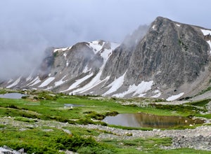
Medicine Bow Peak (12,014ft) is the highest summit in the Snowy Range of Wyoming. There is a network of quality alpine trails leading around the mountain and up to the summit. Stop in at the Visitor Center in Centennial for a free map of the area and pick your route. Options exist from a direct 1.6 mile route, to an incredible 7.5 mile loop.The Four Trailheads are as follows:Lake Marie Trailhea...
Day Hike to Harris Saddle (Routeburn Track)
Kinloch, New Zealand
4.0
14.3 mi
/ 2460.6 ft gain
The Routeburn Track is world famous, and with good reason. But the because it is a through hike that requires multiple hut reservations and an expensive car-shuttle or two day bus ride to complete, many people feel overwhelmed or underprepared. This day hike options allows you a no-strings-attached option to seeing the best parts of this 5-star hike.Start at the Routeburn Shelter end (East end)...
Climb Mount Peale
Moab, Utah
5.0
5 mi
/ 2721 ft gain
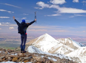
From the parking area at La Sal Creek, just east of Medicine Lake examine the mountain and identify the prominent gully which feeds into La Sal Creek. Follow the old road bed north until its end and then travel cross country. Ascend the gully the the summit ridge between the northwest peak and the main peak and then bear south east along the summit ridge to the summit where you will find a cair...
Climb Fuller Peak
Durango, Colorado
3.0
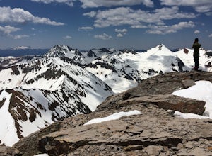
Begin by hiking the Ice Lakes Trail for 3.5 miles, which will take you to Ice Lake. From here, you can identify the obvious, delta-shaped mountain to climber's left, known as Fuller Peak (13,761ft). Hike cross country, directly toward the base of the North Ridge (right skyline), walking past Fuller Lake. Pass under the cliff band and gain the North Ridge. Climb over easy ledges to the summit.Yo...
Hike to the Summit of Mt Sunday
Ashburton Lakes, New Zealand
4.0
2.2 mi
/ 328.1 ft gain
From the car park follow an old road track / stream bed until it narrows into a scenic walking track. Cross the swing bridge and ascend the south side of the mountain to its picturesque summit. Alpine views abound in all directions. It's easy to see why it was selected as a LOTR set location.This short track requires very little preparation and no special abilities to enjoy. Just bring your sen...
Hike to the Summit of Treble Cone
Treble Cone, New Zealand
4 mi
/ 2296.6 ft gain
If you're in Wanaka, you cannot miss this hike. If the ski area is closed for the season you can still hike there but please check in with the Treble Cone Office in Wanaka. Begin at the ski field parking area and climb among snow slops and service roads, alternatively ascend the ridge on the far right edge of the ski area.When you get close to the summit you will see that it is made up of a con...
Walk in the Christchurch Botanic Gardens
Christchurch, New Zealand
5.0
2 mi
/ 0 ft gain
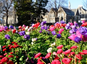
From the parking lot walk along any paved walkway until you spot a posted map (they're all over the place) then plan your day's adventure around the parks many attractions. Some of my favorite places to visit include the Cunningham House, the Heritage Rose Garden, the New Zealand garden area, and the Avon River bank.Look out for a variety of really impressive old growth trees.
Grand Wash Trail, Capitol Reef National Park
Torrey, Utah
4.3
7.09 mi
/ 1644 ft gain
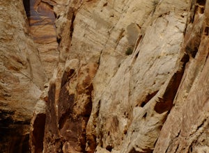
The Grand Wash is a canyon in Capitol Reef National Park featuring several-hundred-foot-tall sandstone walls. The canyon walls are, for the most part, widely spaced, except for a half mile long section of scenic "narrows".
Hike to nearby Cassidy Arch if you have extra time.
Beware of potentially deadly flash floods, get a flash flood report from a ranger.
Hike the Gunnison Route
Montrose, Colorado
5.0
2 mi
/ 1800 ft gain
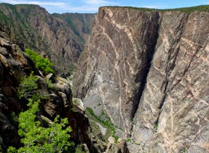
Immediately upon arriving, secure a permit to scramble down 1,800ft in one mile to the Gunnison River. There are no hiking trails below the rim of the canyon, and because of its relentless steepness and rock exposure, the only existing routes are incredibly steep and loose. To protect the delicate environment only 12 people are allowed per day.The route down to the river is a steep, vegetated r...
Hike to the Summit of Rock Mountain, WA
Leavenworth, Washington
5.0
11 mi
/ 4175 ft gain
The trail starts out poorly, following a jeep road under high-tension wires. Shortly, though, the trail begins to switchback up the south face of Rock Mountain and the views, as well as the wildflowers, are remarkable.After switchbacking up the mountain, follow a ridge-line towards the upper basin. Once in the upper basin you are in an alpine playground. Visit Rock Lake, wander around, or go fo...
Explore Milford Sound
Milford Sound, New Zealand
4.7
1.2 mi
/ 1 ft gain
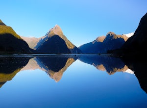
Milford Sound can be explored by land or sea. Short hiking trails departing from the main parking lot are numerous and well signed, walk along the Foreshore Trail or up into the hills for expansive views.Going on a cruise is an exciting way to get up close and personal with Milford's scenery and wildlife. Cruises can be booked at the visitor center or online, we paid just $40 for a two hour cru...
Hike Lake Wanaka and Photograph the Famous Tree
Wanaka, New Zealand
5.0
13.7 mi
/ 0 ft gain
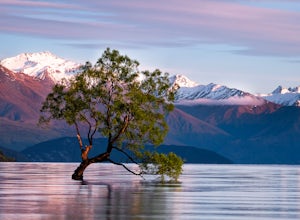
To begin this hike park in the lakeside lot on the west edge of town and begin walking counter-clockwise around Lake Wanaka. The first destination you will reach is the famed Wanaka Tree, which is easily recognized by the crowds of people around it taking photos. A few tips for maximizing your opportunity to photograph this surreal and fanciful tree:a) Sunrise is the time to be there, there are...
Winter Overnight in Lake Angelus Hut
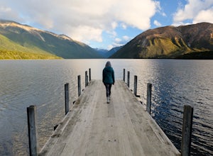
Nelson Lakes National Park, New Zealand
7.5 mi
/ 4000 ft gain
This is a popular and crowded route in summer months, but in winter you could have this 28 bunk hut with a stove all to yourself!Begin by climbing switchbacks to the summit of Mt Roberts and then following the crest of Robert Ridge. The route is exposed in a few places and an un-checked fall on snow could have serious consequences, but if you are competent with an ice axe and crampons passage a...
Hike the St Arnaud Track in Nelson Lakes NP
Saint Arnaud, New Zealand
3.4 mi
/ 3668 ft gain
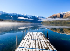
Park in the Kerr Bay Car Park and take a moment to enjoy views from the iconic Kerr Bay Dock.The well signed track starts just to your left.The lower section of the walk crosses moraine terraces deposited by past glaciers while gaining very little elevation. The track cuts through a lovely beech forest for for a while before it begins to climb steadily up the slopes of the St Arnaud Range.Once ...
Hike the Trig M Trail
Springfield, New Zealand
4.0
2.1 mi
/ 1509.2 ft gain
The hiking trail first ascends a hillside to about 1,500 meters. It then follows the crest of a ridge in a southwest direction until you reach the "trig", a marker used in geographical survey. The maintained track ends here but hikers wanting more can continue traveling cross country to Rabbit Hill. Return the way you came.In winter this trail makes for an ideal snowshoe route. The terrain is n...
Climb Mount Stuart
Leavenworth, Washington
5.0
Global climbing legend Fred Beckey once said, "[Mount Stuart is] without a rival as the crown peak in the central Cascades of Washington, Mount Stuart has been pronounced the single greatest mass of exposed granite in the United States".To ascend the mountain by is easiest route, the Cascading Couloir, one must be prepared to gain 8,300ft over what is often rugged, loose, exposed and remarkably...
Climb Mt. Washington
Hoodsport, Washington
3.5
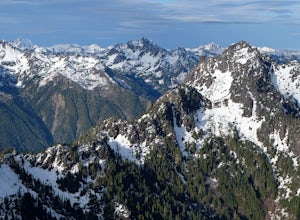
Follow the driving directions, pass the upper Mt Eleanor parking area and continue until the road dead-ends due to a landslide. Try to leave room for cars to turn around when you park.Follow the trail which starts just near the lake boulder near the parking area. The trail through the lower slopes of the mountain is easy to follow and occasionally marked with flags (Do not add flags).The first ...
Community
© 2024 The Outbound Collective - Terms of Use - Privacy Policy

