Stephanie Windschill
I'm a Web Developer, Photographer, Travel Lover and Bigfoot Believer from Minnesota, eh! =)
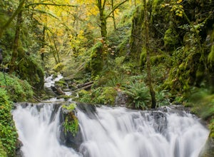
Emerald Falls
Cascade Locks, Oregon
2.0
0.65 mi
/ 308 ft gain
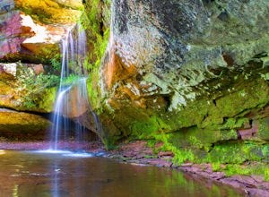
Start at the Wyreth Campground day-use area. If it's closed, park on the side of the road and walk in from the roadway. You'll see an intersection with a wooden bridge crossing the river.
Take a few pictures and continue straight on the trail. You'll go about 1/2 mile on the trail until you reach Emerald Falls. It appears as though there might have been a small landslide, so be careful naviga...
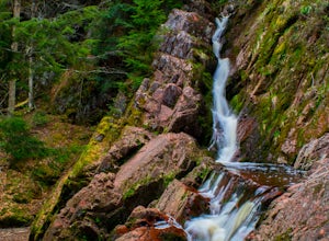
Hike to Morgan Falls
Marengo, Wisconsin
1.2 mi
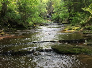
It's a easy hike to the waterfall being only 1.2 mile round trip, but traveling to the waterfall might take time as it's fairly remote. There is a $5 daily park fee.Directions can be complicated depending on which direction you are coming from, so I highly recommend entering it into your google maps and taking a screen shot of the directions as you will most likely lose cell phone service.If yo...
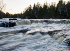
Hike to Trowbridge Falls
Thunder Bay, Ontario
2.2 mi
/ 0 ft gain
Trowbridge Falls is a nearby city park and a favorite among the locals and they say it's haunted too! During the summer months cool off in the water and in winter cross country ski.
Trowbridge Falls is a conservation area and is connected to Centennial Park by a bridge. Centennial park offers more trails to hike and ski on.
Take Hwy 17 to Hodder Ave Exit. Follow the signs to Trowbridge Fall...
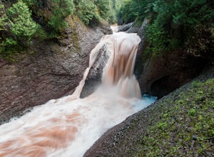
Photograph the Potawatomi and Gorge Waterfalls
Ironwood, Michigan
5.0
Potawatomi and Gorge falls are two of the most scenic waterfalls on the black river. These two waterfalls are an easy stop for anyone and both waterfalls are accessible for wheelchairs.
The Black River Scenic Byway starts north of US 2 near Bessemer. There are signs on the highway. The falls are about 14 miles north of US 2. The scenic area/parking lot is on the right and is clearly marked. ...
Walk along the Maple Glade Rain Forest Trail
Amanda Park, Washington
0.49 mi
/ 56 ft gain
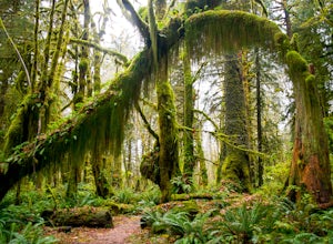
The Quinault Valley receives an average of 12 feet of rain per year which maintains the temperate rain forest ecosystem. The Quinault Rain Forest is located within the Olympic National Park and is located on the N. Shore Road about 6 miles off of HWY 101.
Once you arrive to the ranger station you'll see a sign directing you to the Maple Glade Trail. Because this is a rain forest there's a goo...
Photograph Homosassa Springs Wildlife State Park
Homosassa, Florida
1.1 mi
/ 0 ft gain
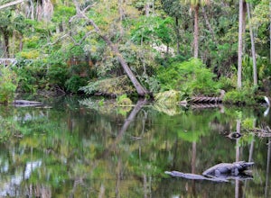
Homosassa Spring State parks showcases native Florida wildlife including the manatees which can be seen from an underwater observatory in the main spring. Other animals you will see will include black bears, panthers, bobcats, flamingos, alligators, American crocodiles, river otters and many different types of birds. This is also home to "Lu" the oldest living hippo in captivity. He turned 57 i...
Brewer Park Loop
Duluth, Minnesota
5.0
3.45 mi
/ 472 ft gain
Brewer park loop is located in West Duluth just above Skyline Parkway. The hike is a part of the Superior Hiking Trail that also has many mountain biking routes nearby and also intersecting the hiking route. The hike is well marked and easy to follow.
From 40th avenue West/Haines Road there's a small parking lot on the east side of the road just shortly north of the Skyline Parkway. From the...
Hike to Ely's Peak
Duluth, Minnesota
4.6
1.73 mi
/ 430 ft gain
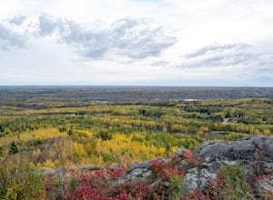
Ely's Peak is located near the neighborhood of Gary-New Duluth. It is located right off of Becks Road. To get there from Grand Avenue you'll turn onto Becks Road. The small parking lot will be located about 2 miles north and will be on your right. If you are coming from Interstate I35, you'll take Midway Road exit and follow it south for 2 miles. The parking lot will be on your left.
Once you ...
Visit Mount McKay Lookout
Fort William First Nation, Ontario
1 mi
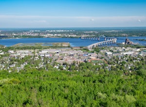
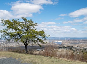
Mount McKay is located on the Indian Reserve of the Fort William First Nation and is 1,000 ft over the city with stunning views of Thunder Bay, Lake Superior, Sleeping Giant and the surrounding countryside. There's a small fee to get in to the park, but if you arrive when it's closed at the gate. You can park at gate and walk up road to the lookout point which is about a half mile of a walk.
V...
Explore Twin Falls, WI
Port Wing, Wisconsin
3.0
0.5 mi
It’s located on Highway 13 on the outskirts of Port Wing, WI. If you are coming from the west, you’ll see a sign on your right for the park. This will be before you get to the town of Port Wing. If you are coming from the East on Highway 13, you will pass through the town and it’s shortly after it on your left. There’s an observation deck to view the falls off to the left. I recommend taking...
Hike to Lost Creek Falls
Cornucopia, Wisconsin
4.0
2.5 mi
The trailhead has been updated for Lost Creek Falls and can now be found on Trail Drive in Cornucopia.
On this well-marked 3-mile trail, there are signs along the trail, new boardwalks, and a larger parking area. This is a very nice trail en route to beautiful falls.
Hike to Gabbro Falls
Bessemer, Michigan
5.0
1 mi
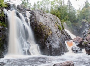
Gabbro Falls is on the Black River and is as impressive waterfall. This wild waterfall does not have any fences or barriers, so view with caution from above. Getting there, take Black Jack Road north. This road will take a sharp left turn and will go by the ski hill. Before you get to the ski hill there's a little bridge that crosses the river. Park on side of road before river and you'll see ...
Hike to the Sea Lion of Sleeping Giant Provincial Park
Unorganized Thunder Bay District, Ontario
5.0
1.3 mi
/ 0 ft gain
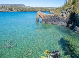
Prior to the 1900s, this landmark a lion sitting on its haunches looking out to Perry Bay. The former shape of this natural arch inspired its name the Sea Lion. The lions head has fallen of but the name still continues. The softer sedimentary rock will continue to erode. The "arch" of the sea lion will eventually collapse possibly leaving a stack in Lake Superior. Over time the entire section f...
Hike to Britton Peak
Tofte, Minnesota
0.6 mi
This hike is very short and rewarding. It doesn't take longer than 15 minutes if you wanted to make it a quick pit stop before or after you hike Carlton Peak.From Hwy 61 just near Tofte, MN take Sawbill Trail. Go roughly 2.5 miles and the parking lot will be on your right. Once you are on the trail there will be a sign for Britton peak to your right. If you go straight that will continue on the...
Paddle the Hillsborough River Wilderness Preserve
Thonotosassa, Florida
5.0
Start at John B Sargeant State Park--they do have a $2 parking fee. There is a canoe rental and shuttle service on site called Canoe Escape. They do have kayaks as well. If you own your own canoe you can pay for the shuttle service to pick you up at the end if you choose not to paddle out and back.There are a few routes to take:Sargeant Park to Morris Bridge Park: 2 hour paddleSargeant Park to ...
Hike to White Sky Rock
Lutsen, Minnesota
5.0
0.6 mi
/ 230 ft gain
From Hwy 61 in Lutsen, you'll turn on Caribou Trail (Hwy 4). You'll drive about 4 miles and turn right for the public boat launch area. There will be a small parking area on your left before the boat launch. This trail is apart of the Superior Hiking Trail. Follow the short little trail up to the road you just came from and cross the street. You'll see the trail leading uphill and into the wood...
Community
© 2024 The Outbound Collective - Terms of Use - Privacy Policy

