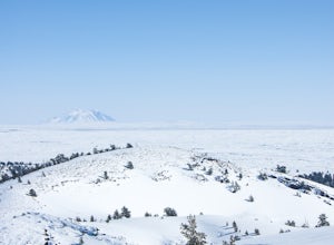
Backcountry Ski on a Cinder Cone at Craters of the Moon
Arco, Idaho
2 mi
/ 500 ft gain
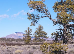
Craters of the Moon National Monument is 1100 square miles of basalt lava and sagebrush. It looks like another planet: desolate in macro, beautiful in micro. Craters is most popular in the summer, when visitors from nearby Sun Valley arrive to hike on sun-baked lava hot enough to melt their shoes.Winter is a particularly quiet season at Craters, and one of the most fun. Strap on cross country s...
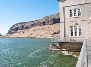
Mountain Bike to the Petroglyphs at Wees Bar
Murphy, Idaho
2.0
12.2 mi
/ 1000 ft gain
At Wees Bar, a remote area accessible only by bike or foot, explore hundreds of petroglyphs carved into glacial boulders by Native Americans 12,000 years ago.
Begin at the Swan Falls Dam parking lot. Bring a fat bike in late summer and fall to glide over the dry, loose dirt that forms as the canyon bakes in the summer sun.
Ride across the dam, keeping an eye out for pedestrians. This is a uniqu...
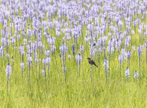
Photograph the Camas Lilies on the Camas Prairie
Hill City, Idaho
4.0
Each spring the Camas Prairie comes alive with acres of vibrant Camas lilies. The bloom lasts from late May to mid-June.From Route 20 turn south onto Wolf Lane east of Hill City, following the Centennial Marsh Wildlife Management Area signs. The road is dirt but passable for sedans.Stop at the Centennial Marsh parking lot for picnic tables and excellent bird watching. The wildflowers, combined ...
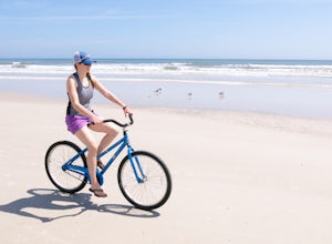
Bike the Beaches of Saint Augustine
Saint Augustine Beach, Florida
5 mi
/ 50 ft gain
Park at one of the many beach parking lots to the north of downtown St Augustine. A great place to start is the parking lot at the corner of 1st Lane and the A1A.Head toward the edge of the water, where the beach is compact and flat. Especially when the tide is out, there is plenty of packed sand to bike over.Most beaches allow for biking, but keep an eye out for a rare "No Biking" sign.Ameniti...
Hike the Rim of Bruneau Canyon
Bruneau, Idaho
4.0
5 mi
/ 100 ft gain
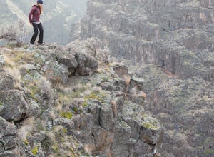
From the small town of Bruneau turn east on Hot Springs Road (set odometer) and continue for 15.6 miles on a well maintained dirt road. Turn right at the "Overlook" sign and continue for another 3 miles. The road terminates at a dirt parking area.The drive to Bruneau Canyon is through remote and sparse open cattle range. A large sign warns drivers of the potential for "Objects Falling From the ...
Hike to the Shay Trestle
Mackay, Idaho
2 mi
/ 200 ft gain
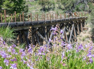
Mine Hill Tour is a self-guided driving tour focused on Mackay's mining history. Stops showcase artifacts of the once-vibrant towns that housed miners and their families.Much of the tour is available to passenger vehicles. Begin by picking up a Mine Hill Tour map from any local merchant in Mackay, and stick to the green route if you aren't driving a high clearance, four wheel drive vehicle.Stre...
Hike the Bruneau Sand Dunes
Bruneau, Idaho
4.1
3 mi
/ 470 ft gain
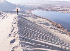
Set off from the Bruneau Lake parking lot and circumnavigate the lake in a clockwise direction. The hike traverses small rolling dunes before beginning it's ascent of the big dune. The big dune rises 450 feet and it's loose sand is both entertaining to climb as well as a test of patience.The 360 degree view from the summit of the big dune showcases Bruneau Lake, a cirque formed from sand called...
Explore Big Springs and Johnny Sack's Cabin
Island Park, Idaho
4.5
1 mi
/ 20 ft gain
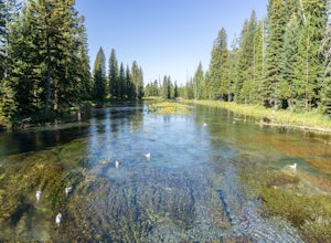
Big Springs is the headwaters of the Henry's Fork of the Snake River. Producing 120 million gallons of water per day, the spring forms wide and crystal-clear pools filled with trout (no fishing allowed). A paved trail leads to historic Johnny Sack's cabin, which is open for tours during the summer.Park in the paved lot to the north of the wooden bridge. Walk back across the bridge while looking...
Hike the River Trail and Ranch Loop at Harriman State Park
Island Park, Idaho
3 mi
/ 20 ft gain
Located at 6,100 feet above sea level, Harriman State Park (also called "the Ranch") is renown for it's fly fishing along the Henry's Fork. Whether you bring a fly rod or not, this scenic loop through the park is a delight for hikers of all abilities.Make a stop at park headquarters to pay the entry fee ($5 per car) and grab a trail map. The road continues for another mile before terminating at...
Bike the Loop Road at Craters of the Moon National Monument
Arco, Idaho
7 mi
/ 500 ft gain
Biking Crater of the Moon National Monument's seven mile loop road provides an intimate experience through a wild landscape.Park at the Visitor's Center. Grab a map and check out the interactive display explaining how Craters of the Moon was formed in the same tectonic event that birthed Yellowstone. Hop on your bike and pedal into the park. Be sure to check out Inferno Cone, Spatter Cones, and...
High Bridge
Farmville, Virginia
5.0
2 mi
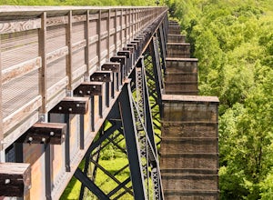
The High Bridge is the highlight of the 31 mile High Bride Rail Trail in central Virginia. The trail, paved with crushed limestone, is nice for biking, walking, and running.
Park at the River Street parking area near the town of Farmville. The parking lot is big enough for two dozen cars and charges a $4 use fee. The honor-system use fee box is next to the well maintained bathrooms.
Cross the...
Hike Trinidad Head
Trinidad, California
4.8
1.5 mi
/ 300 ft gain
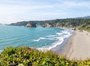
Park in the large parking lot at Trinidad Beach. The trailhead is at the south end of the parking lot. The loop trail can be hiked in either direction.The trail is half dirt singletrack, half paved switchbacks, and climbs steadily to the top of Trinidad Head. The view of the ocean and California coast are spectacular along the entire hike. Take care to stay on the trail as poison oak is common....
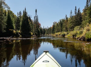
Paddle the North Branch of the Moose River
Old Forge, New YorkThe northern section of the North Branch of the Moose River is a gentle, scenic paddle that feels much more remote than it actually is. Mountainman Outdoor Supply Company in Old Forge offers rentals and shuttles, and will have anything you may have forgotten. It's easy to do with two cars as a self-shuttle, but even easier to have Mountainman drop you off and pick you up.
Put-in at Carter Road,...
Community
© 2024 The Outbound Collective - Terms of Use - Privacy Policy

