Aguas Calientes, Peru
Looking for the best camping in Aguas Calientes? We've got you covered with the top trails, trips, hiking, backpacking, camping and more around Aguas Calientes. The detailed guides, photos, and reviews are all submitted by the Outbound community.
Top Camping Spots in and near Aguas Calientes
-
Urubamba, Peru
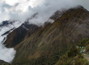
Backpack the Inca Trail to Machu Picchu
26.5 mi / 6279 ft gainDay 1: Cusco to Ayapata (10 miles) The trail starts at 8,923 ft at the main gate operating the permit and passport check-ins at KM 82, Piscachucho. You'll cross the Urubamba River on a suspension bridge and proceed towards Ayapata at 10,829 ft. It's an easy day on the first day and should take ab...Read more -
Anta, Peru
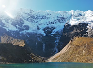
Backpack the Salkantay Trek to Machu Picchu
4.844.5 miDay 1: Cusco to Soraypampa to Wayracpunku (9 miles)The trail starts at 12477 ft and proceeds towards Salkantay Pass at 15090 ft. It's a gradual climb and incredibly beautiful. From the pass, it's a short downhill to the campground in Huayracmachay at 12477 ft. Even if the weather is sunny and cle...Read more -
Mollepata District, Anta, Peru
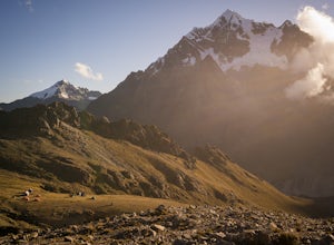
Backpack the Ancascocha Trail to Machu Picchu
35 mi / 30000 ft gainSpanning just 4 days, but featuring 7 summits over 15,000 feet (and topping out at nearly 17,000'), this trail is not for the faint of heart. Since the trail is extremely remote, permission must be attained from the locals. This is most easily done through a local guide company (I went with Kill...Read more -
Abancay, Peru
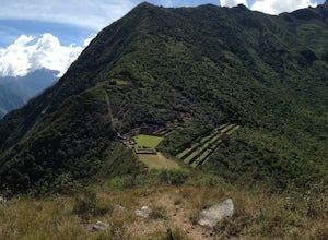
Backpack to Choquequirao
5.028 mi / 9523 ft gainChoquequirao, located in Apurimac Canyon, is a remote historical site of the ancient Incas also known as “the Lost Machu Picchu.” Most treks to Choquequirao take 4 to 5 days as you must cover 28 miles (45 km) and hike up and down the Apurimac Canyon.Day 1: When you arrive at the trail you can see...Read more


