Springfield, New Zealand
Top Spots in and near Springfield
-
Springfield, New Zealand
Hike to Foggy Peak Summit
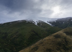
5.02 mi / 3280.8 ft gainThe Foggy Peak trail is an unmarked path leading from the carpark at the top of Porters Pass to the summit of Foggy Peak. The clouds can get very low here so be sure to bring a GPS or be knowledgeable in the mountains. From the carpark just duck under the fence and head on up to the top. The way ...Read more -
Springfield, New Zealand
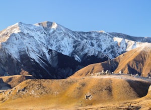
Hike Foggy Peak and Castle Hill Peak
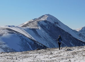
5.08.1 mi / 3280.8 ft gainPark in the gravel roadside parking area at the highpoint of Porters Pass. Follow the faint use path up the lower scree slopes of Foggy Peak northward towards the summit. Upon reaching the summit of Foggy Peak the alpine traverse to Castle Hill Peak becomes obvious. The hike between the two peaks...Read more -
Springfield, New Zealand
Hike the Trig M Trail
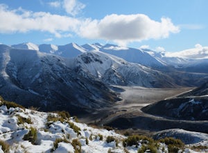
4.02.1 mi / 1509.2 ft gainThe hiking trail first ascends a hillside to about 1,500 meters. It then follows the crest of a ridge in a southwest direction until you reach the "trig", a marker used in geographical survey. The maintained track ends here but hikers wanting more can continue traveling cross country to Rabbit Hi...Read more -
Castle Hill, New Zealand
Hike and Climb at Castle Hill
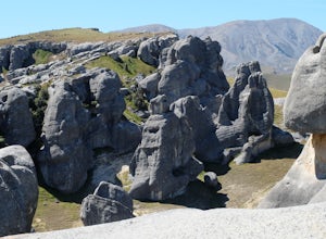
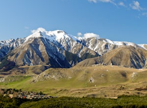
3.52 miFollow the footpath from the car park. You will quickly arrive at Castle Hill, famous for it's incredible array of giant limestone formations. There is no official path so you are free to wander the maze of rocks. Look for arches and even signs of ancient Maori inhabitants. Its fun to climb among...Read more -
Castle Hill, New Zealand
Climb Mt. Cloudsley
5.08.7 mi / 3937 ft gainPark at the Hogsback Trailhead in Castle Hill Village. Follow the Hogsback trail by staying to the right at both upcoming "Y" intersections. Once you reach the bush edge, Long Spur and Mt Cloudsley come into view. Break off from the trail aiming for the toe of Long Spur. Then climb along the cres...Read more -
Castle Hill, New Zealand
Hike Mt. Cheeseman
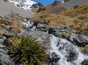
9.9 mi / 4265.1 ft gainFollow the Hogsback Track until you reach the clearing just after the Waterfall Creek crossing. Hike through the clearing towards the toe of Mt Cheeseman's east ridge.Work your way up the ridge by linking a network of tussock slopes, ledges, scree slopes snow patches and crumbly rock. Eventually ...Read more -
Craigieburn Forest Park, New Zealand
Ride the Craigieburn Mountain Bike Trails
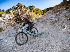
24.9 mi / 3937 ft gainBeing a cloudy and gray day in Christchurch, we decided to pack the bikes up and drive the 100kms on SH73 up to the Craigieburn Forest Park. There are several entrances to the tracks. You can either park up in the Castle Hill Village and enter the Hogs Back Track from there, or park in the Broken...Read more -
Craigieburn Forest Park, New Zealand
Hike to Hamilton Peak's Summit
7.5 mi / 3280.8 ft gainPark at the Craggyburn Valley Trailhead for a longer, more scenic hike, or continue driving to the Ski Field Parking at the road's end.The trail follows the true right bank of Craggieburn Valley as it climbs through a thick and scenic beech forest. After an hour it reaches the bush edge just shor...Read more -
Windwhistle, New Zealand
Hike the Rakaia Gorge Walkway
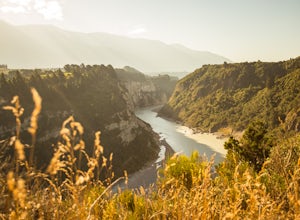
5.06.5 mi / 328.1 ft gainThis 150 km long Rakaia River starts in the Southern Alps and continues east to be an awesome feature of the Canterbury Plains. The track isn't too long - a great day trip. You'll start where the river opens up and begins to braid, and hike to the gorge, where it narrows. Getting There: The trail...Read more -
Lake Coleridge, New Zealand
Hike Peak Hill
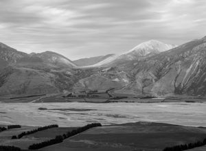
5.04 mi / 2066.9 ft gainRising about 600 meters from the Canterbury Plains, Peak Hill offers everything New Zealand is famous for: a steep climb to get your heart pumping, views of a gorgeous lake (Coleridge), ever-changing weather, views of the Alps, and views of wide, braided rivers. It is well worth sticking with the...Read more -
Bealey, New Zealand
Hike Lagoon Saddle
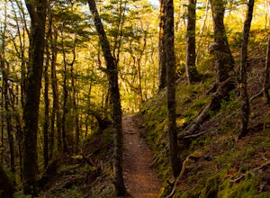
5 mi / 1200 ft gainRound trip about 5 hours including stops to enjoy the views and take pictures, it was a perfect day hike in the full sun compared to the rest of the park. The track starts out by heading uphill, and it doesn’t really stop until you get to the saddle. The first hour of the track is all through bee...Read more -
Bealey, New Zealand
Hike Arthur's Pass' Bealey Spur
4.57.5 mi / 1720 ft gainThis moderately difficult climb affords amazing views of the Waimakariri River Valley as well as Bruce Stream. It is not an incredibly difficult hike, although in winter and early spring there will be snow and ice on the ground, making it more challenging. There are few vertical cliff faces, and ...Read more -
Arthur's Pass, New Zealand
Overnight at the Barker Hut
5.029.8 mi / 3018.4 ft gainBegin at Klondyke Corner if the Waimakariri is low or at the O'Malley's Track if the river is too high to ford safely. After walking through the Waimakariri River to the Carrington Hut and on up the White River Valley you’ll reach this tiny red hut that stands out in its precarious position as a ...Read more -
Arthur's Pass, New Zealand
Backpack to Carrington Hut
11 mi / 350 ft gainWith peaks rising thousands of meters on every side of you and a wide-open valley to tramp in, the hike to Carrington Hut does feel quite like you're walking in a movie set. After walking a day up the Waimakariri Valley you'll reach this 36-bunk DOC hut, which requires a DOC hut pass to stay the ...Read more -
Arthur's Pass, New Zealand
Hike to Summit of Mount Bealey
5.05 mi / 3608.9 ft gainThe hike to Mount Bealey starts in the town of Arthurs Pass at 750m above sea level. Take the road back towards Christchurch from the centre of the village and you'll cross a river, take the first right and head up Mount Bealey Road until you see a car park on the right hand side.From here the hi...Read more -
Staveley, New Zealand
Hike the Mount Somers Track Circuit
5.016.2 miThe Mount Somers circuit is a tough 26km adventure, but it rewards you with constantly changing but beautiful scenery. From the start at the Sharplin Falls carpark, the trail immediately climbs upward through lush forest. As soon you reach a highpoint, you descend again to cross the river (via a ...Read more

