Angel Falls
Muncy Valley, Pennsylvania
4.0
2.9 mi
/ 771 ft gain
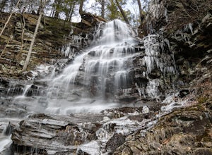
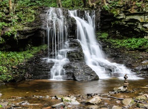
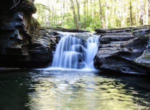
This is a moderate hike that does involve some uphill hiking to reach the top of the plateau and some downhill hiking to reach the base of the waterfall. Angel Falls is relatively easy to find though, with the Loyalsock Trail leading to a clear side trail that takes you straight to the top of the falls.
Start from the clearly marked parking area along Ogdonia Road (if coming from Route 42, it ...
Choke Creek Falls
White Haven, Pennsylvania
5.0
1.45 mi
/ 128 ft gain
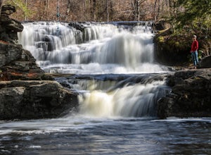
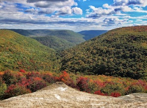
Hiking to Choke Creek Falls is easy! The hike down to the waterfall is less than a mile and the payoff is a scenic two story waterfall.
From the curve in Phelps Road, take the gated forest road downhill about 1/3 of a mile to a clearing. From here, the trails splits. Take the trail to the right, which is also gated and descends down to Choke Creek at a man made bridge/beaver damn.
Cross the ...
Hike the Wissahickon Gorge: Valley Green and Two Meadows Loop
Philadelphia, Pennsylvania
5.0
8.5 mi
The Wissahickon Gorge offers beautiful hiking without even having to leave the Philadelphia city limits. There are seemingly countless entry points into the gorge and hiking options are plentiful, with everything from a leisurely stroll down Forbidden Drive to an 18 mile boot buster available.One of my favorite hikes to do is what I like to call the Two Meadows Loop, which accesses both Houston...
Hike to Indian Ladder Falls Along Hornbecks Creek
Dingmans Ferry, Pennsylvania
3.5
2 mi
/ 400 ft gain
For some time, the trail was eroded above the first falls on Hornbecks Creek, not allowing hikers to access the creek's upper falls if they were coming upstream from Route 209. I am writing this in June 2017 and that is no longer the case! You can hike from Rt. 209 all the way up the creek to Emery Road, and experience the creek's numerous beautiful waterfalls.
On the day that I hiked Hornbecks...
Dry Run Falls in the Loyalsock State Forest
Hillsgrove, Pennsylvania
4.0
One of the most accessible waterfalls in all of Pennsylvania, Dry Run Falls is right along Dry Run Road in the Loyalsock State Forest. You can see the falls from the road and a short walk from the parking area will bring you down to a great vantage point for photos.
You can also walk to the top of the falls and explore the little cascades just upstream. There are a few picnic tables if you wa...
Hike the Frozen Run Gorge
Trout Run, Pennsylvania
5.0
5 mi
One of the most remote hikes in the beautiful Loyalsock State Forest, this loop through the Frozen Run Gorge is a fantastic hike for an experienced hiker looking to see a place that few other hikers do.There are no official trails through the gorge and this hike is a bushwhack. There are a couple of unofficial paths that make this hike easier, but you should be comfortable navigating without a ...
Backpack the Old Logger's Path
Williamsport, Pennsylvania
5.0
27 mi
The Old Logger's Path follows abandoned logging roads in a loop through the Loyalsock State Forest. There are multiple places to join the trail, but most people start in the ghost town of Masten, PA.Highlights include Rock Run, noted by many as the most beautiful steam in Pennsylvania. Vistas along Sullivan Mountain, at Sharp Top, and over the Rock Run Valley reveal the steep gorges of the Loya...
Hike to Shelving Rock Falls
Fort Ann, New York
1 mi
/ 50 ft gain
The hike to beautiful Shelving Rock Falls is only a half mile and well worth the side trip if visiting the east side of Lake George.
Shelving Rock Road, the road to the parking area, is long, winding, and unpaved, but maintained pretty well and passable in a sedan. You'll want to take the road almost to its end and park in the small lot on the left side of the road just after the bridge on She...
Chinquapin Loop on The Lost Coast
Whitethorn, California
4.0
7.87 mi
/ 2159 ft gain
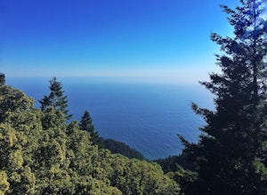
I did this hike the day before setting out on a backpacking trip along the northern section of The Lost Coast Trail and it was a fantastic warm up hike. The Chinquapin Loop is a loop off of The Lost Coast Trail along Chemise Mountain, near the start of the southern section of the LCT.
You can start this hike from three different trailheads. My friend and I were camping at the Nadelos Campgroun...
Hike to Quaker Bridge via Atsion
Shamong, New Jersey
7 mi
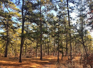
Looking at a map of New Jersey, you'll notice that the biggest green patch of forest on the map is Wharton State Forest, in the southern half of the state. There are many great hikes to do in the state forest, described here is a relatively easy 7 mile hike that serves a nice introduction to hiking in the Pine Barrens. Much of the hike is is on packed dirt or sand and offers no elevation change...
Drive Bald Hills Road in Redwood National and State Parks
Orick, California
3.0
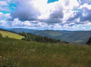
Driving the Bald Hills Road was a totally unexpected treat when I visited Redwood National and State Parks. We only had a day to spend there on a week long California road trip but I was so glad that we made the decision to drive the road while visiting.While I came expecting, and was glad to experience, huge redwood groves and ocean views, the non stop vistas on Bald Hills Road were an added b...
Hike to Mill Creek Falls in the Loyalsock State Forest
Hillsgrove, Pennsylvania
4.0
0.5 mi
The Loyalsock State Forest is full of beautiful waterfalls and Mill Creek Falls is one of them.
The 12 foot high falls is one of the smaller falls in the forest, but is still worth a visit as it sits in a beautiful grotto and contains a scenic plunge pool. I've also never seen another person in my trips down to the falls, despite it being a relatively easy hike.
To get to the falls, it is a sho...
Tank Hollow Vista
Penn Forest Township, Pennsylvania
4.0
3.33 mi
/ 272 ft gain
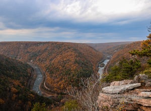
This is a simple, short hike to a fantastic vista looking out over the Lehigh River Gorge.
The trailhead for the hike to Tank Hollow Vista is along Behrens Road just outside of Jim Thorpe, PA. Most of the hike is on state game lands. If the gate is open from the first lot, you can shorten this hike to just under a mile by driving down the game land road.
If the gate is not open, park in the l...
Hike to the Thomas Mill Covered Bridge
Philadelphia, Pennsylvania
1 mi
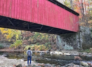
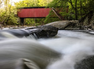
Built in 1855, the Thomas Mill Covered Bridge is an 85 foot long Howe-truss bridge located about 1/2 mile from the nearest road in Wissahickon Valley Park.
Hiking to the bridge is easy and there are two routes to choose from. Start at either of the parking areas on Bells Mill Road. You can either hike south on Forbidden Drive, the flat and wide multi-use walking/bike path that follows the Wissa...
Drive Ridge Road in Elk State Forest
Emporium, Pennsylvania
3 mi
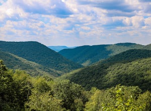
A drive along Ridge Road will bring you to five scenic vistas looking out over remote Elk State Forest.
You can drive the road and simply stop at the vistas, or you can do an out and back hike from anywhere along the road. On my last visit, I parked at the southern most vista, Square Timber Vista, and walked to the northern most vista, Logue Run Vista, a hike of about 1.5 miles one way. The Bu...
Community
© 2024 The Outbound Collective - Terms of Use - Privacy Policy

