Michael WigleExplorer
Exploring our incredible world through Film, Photography, and Story. Always looking for my next adventure and my next partnership through my work and art. Mahalo!
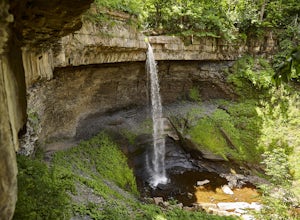
Hike Carpenter and Angel Falls
Moravia, New York
4.0
3 mi
/ 450 ft gain
Head 12 miles south on Route 41A along Skaneateles Lake from Skaneateles NY. Make a left onto Appletree Point Road and go a little more than a half mile to where the intersection of Carver Road is. There is a small gravel parking area off to the left with room for about 8 cars. The trailhead begins here.The path heading left will take you to the Carpenter Falls bowl in less than 600 feet. Here...
Mt. Disappointment via Billy Riley Trail
Los Angeles County, California
3.5 mi
/ 1132 ft gain
From the 210 Freeway in La Cañada, take California Highway 2 north 14 miles up into the San Gabriel Mountains. Make sure you have your National Forest Pass (sold at REI or Ranger Station) or your Interagency Pass because they have started checking parked vehicles. At the Red Box Picnic area, make a right onto Mt. Wilson Road. About 1,000 up the road and onto the right is a pull-off and dirt par...
Thalehaha Falls
Altadena, California
1.71 mi
/ 679 ft gain
The trails starts in a foothill neighborhood of Altadena CA at the corner of Pleasantridge Dr. and Rubio Vista Rd. This is one of the better entries into the Angeles National Forest because it is one of the lesser known. Find a place to park on the street and head out on the trail into Rubio Canyon. Take note, that because this is a lesser used trail, rattlesnakes are more commonly found under ...
Explore the Hidden Lagoon at Đầm Trầu Beach
Côn Đảo, Vietnam
0.6 mi
/ 32.8 ft gain
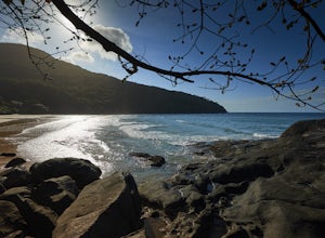
There are only a handful of beaches in Vietnam worth visiting as most are found on the edges of river deltas and steeped in mud. Out of the two tropical islands that offer sandy beaches, Côn Sơn Island is undeveloped and mostly a national park. If timed just right you can spend a few hours or an entire day in remote exclusion while being close to civilization on your own private beach.Protected...
Off-Trail Hike of Limestone Ridge
Chaffee County, Colorado
4.0
9 mi
/ 1000 ft gain
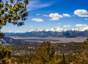
Finding a winter or early spring adventure that won't take you deep into dangerous mountain territory, while still providing epic vistas, is a challenge in Colorado. There are a few 10,000' tall ranges that sometimes escape deep snow, which are inviting for a first step into the alpine wonderland that is the Rocky Mountains. Limestone Ridge in the San Isabel National Forest near Buena Vista, Co...
Cliff Shelf Nature Trail
Interior, South Dakota
5.0
0.62 mi
/ 43 ft gain
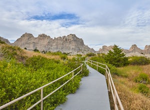
About 4 miles south of the Northeast Park Entrance, just past the Castle Trailhead, is the Cliff Shelf Nature Trailhead. It sits on the outside of the cliff formation facing open space just through Cedar Pass. There is a parking lot here typically filled with people soaking in the panoramic views. Park and head up the loop trail to step into Badland's past.
The trail heads up stairs through bo...
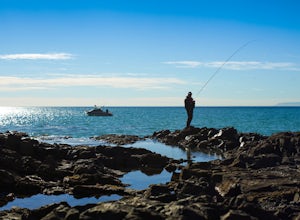
Surf Fishing Off Of Inspiration Point
Rancho Palos Verdes, CaliforniaTucked away, at the base of Inspiration Point in Palos Verdes is an outcropping of rocks, perfect for surf casting and catching ocean fish, away from the crowds. It's a challenge to get there, but the less travelled spot is used by many professional sportsmen, practicing their skills at fishing from the rocky Southern California shoreline.There are 3 places to park. Two free parking lots are lo...
Hiking the Piru Creek Gorge Trail
Castaic, CaliforniaTake the I-5 exit North of Castaic, CA at Templin Hwy. Turn onto Golden State Hwy heading the only direction it goes from the exit, North. When it dead-ends in a few miles at the National Forest Gate, you are at Frenchman's Flat.You can camp here, or hang with the day hikers. Heading North along the river will take you to some excellent fishing water downstream of Pyramid Lake. For a slightly m...
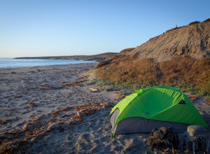
Beach Camp on Santa Rosa Island
Santa Barbara County, California
5.0
19.72 mi
/ 3097 ft gain
Channel Islands National Park is California's least visited National Park. If you visit, you will see many unique plants and animals, including a rare native fox species, and Torrey Pines, only found here and in a small grove near San Diego.
This adventure is not for the inexperienced. There is a campground on each of the Channel Islands and even camping at Water Canyon on Santa Rosa Island is...
Explore the Marble Mountains
Hòa Hải, Vietnam
1.9 mi
/ 328.1 ft gain
Located only a few minutes south of Danang stands 5 solid stone mountains that jut out of the coastal landscape. Surrounded by vendors and covered in shrines, these sacred hills each represent one of the elements and are filled with endless discoveries.Head down Lê Văn Hiến road from Danang or take the coastal highway about 9 kilometers south. Huyền Trân Công Chúa road connects them both and is...
Hike the Sacred Steps of Bear Mountain
Vale, South Dakota
4.2
3.5 mi
/ 1200 ft gain
Bear Mountain or Mathó Pahá as it's called by the Lakota peoples, is the leftover remnants of an ancient volcanic plug. The mountain weathered away, to leave the harder igneous formation, for which plains tribes have been coming to for sacred communication with their Creator for 10,000 years. This place is akin to Uluru in Australia in terms of sacredness. You can feel that the moment you see t...
Kayak Sylvan Lake
Custer, South Dakota
4.0
2 mi
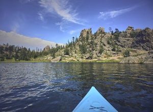
There are a few reservoirs within the hot and dry Black Hills of South Dakota. The water here comes from the harsh winter month's snowpack or frequent afternoon thunderstorms. Sylvan Lake in the town of Custer offers many activities thanks to it's unique and rugged terrain. Hiking, biking, rock climbing, camping, kayaking, paddle board, swimming, and cliff-jumping can all be done in a single da...
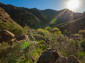
Hike El Tular Canyon in the Sierra de la Gigante Mountains
Loreto Municipality, Mexico
2.5 mi
/ 328.1 ft gain
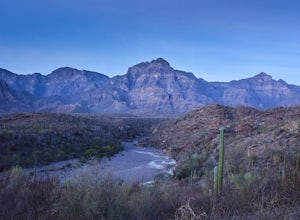
My favorite time to make this hike is just before sunrise. The alpine glow on the range above the cool canyon is a beautiful sight. There is enough time to make the hike and get back before the sun begins to heat the canyon floor, awakening rattlesnakes and Baja's intense midday heat.About 8.5km south of the arroyo bridge in Loreto on Highway 1 is a substation. Make a right as this is the ranch...
Kayak Coronado Island in Loreto Bay
Loreto Municipality, Mexico
5 mi
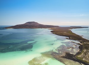
There are several ways to kayak to Coronado Island at the north end of Loreto Bay. The easiest way is to drive north from town on Davis Street. Davis Street begins as pavement before it crosses a wash and weaves along the dunes north of Loreto. Most of the street is fenced in, and it is easy to follow. There are signs pointing toward a restaurant called La Picazón that you can follow. The road...
Bike along the Cuyahoga River via Lock 39 Trailhead
Valley View, Ohio
5.0
39.57 mi
/ 1804 ft gain
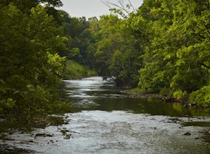
The best way to tack the Towpath Trail along the remains of the Ohio and Erie Canal is by peddling it. Start at the Lock 39 Trailhead going south toward the Botzum Trailhead early in the morning before the crowds to ride upstream is the best way to start. Located a little over a mile East of I-77 or a little over a mile South of I-480 where Rockside Rd. and Canal Rd. meet, is the Lock 39 Trailh...
Photograph Death Valley's Wildflower Bloom
Inyo County, California
4.5
2 mi
/ 200 ft gain
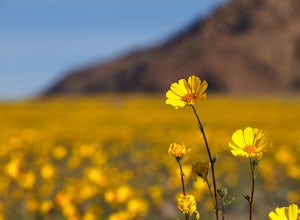
Every spring, a few plants and flowers spring up from the driest place in North America, California's Death Valley National Park. Knowing where to go is important, but not as important as knowing when to go. Wildflower season only lasts a few weeks before daytime temps hit 80º and the flowers go to seed.Typically in late February and early March after winter rains, wildflowers begin popping up ...
Community
© 2024 The Outbound Collective - Terms of Use - Privacy Policy

