Mt. Williamson via Islip Saddle
Los Angeles County, California
4.16 mi
/ 1519 ft gain
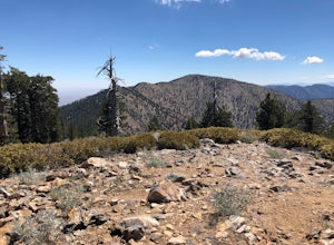
The trailhead is immediately off of Angeles Crest Highway CA-2 at Islip Saddle. It's just a touch over 2 miles to reach the summit, through which you'll be hiking among the pine tree forest practically the entire way up (part of this trail doubles as the Pacific Crest Trail). The summit is largely devoid of trees, which provides for excellent views in all directions. The trail continues if y...
Hike to Throop Peak, Mt. Hawkins, and Mt. Burnham
Dawson Saddle, California
8 mi
/ 2000 ft gain
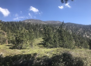
The trailhead, or pair of trailheads actually, is at a location on the Angeles Crest Highway (CA-2) called Dawson's Saddle. There are a couple of parking areas along the side of the highway, and each of the pair of trailheads begins at either end of this parking area. The trailheads aren't marked, but once parked, it's fairly easy to see them and the switchbacks that rapidly climb above the h...
Summit Mt. San Bernardino from Angelus Oaks
Forest Falls, California
16 mi
/ 4775 ft gain
The trailhead is somewhat 'interesting' to get to given the dirt roads are in questionable shape and some of the roads in Angelus Oaks are not easily identifiable but I didn't have any problems finding it by closely following Google Maps. Trailhead parking requires an Adventure Pass parking permit. Also, as of this writing, permits are NOT required for day hikes, however I was told that thi...
Grays Peak Trail
Fawnskin, California
1.0
6.95 mi
/ 1293 ft gain
This is a fairly easy mountain peak to climb. The trailhead is easily accessible right off of Hwy 38 by the town of Fawnskin. There is a large National Forest sign noting the parking area to Grays Peak Trail. Note that parking in this lot requires either a day pass or a California Adventure pass (either are easily obtainable from the nearby Big Bear Discovery Center).
The trail is 3.5 miles...
Hike to Vetter Mountain and the Fire Lookout Tower
Palmdale, California
2.8 mi
/ 550 ft gain
If you're looking for an easy mountain to hike, and perhaps give the kids something interesting to learn about at the top, then Vetter Mountain may fit the bill. At 5,908', and with a trailhead at about 5,350', this 1.4 mile (one way) hike only climbs about 550' vertical.
The trailhead is located in the Charlton Flats Picnic Site right off of CA-2 Angeles Crest Highway. Once you pull in to ...
Hike to Palomar Observatory from the Palomar Observatory Campground
Palomar Mountain, California
5.0
4.4 mi
/ 718 ft gain
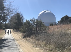
Situated in the Palomar Mountains of Cleveland National Forest, Palomar Observatory Campground offers many amenities for enjoyable camping and exploring the area. A portion of the campsites loop has been cleared of trees with level cement pads to allow campers to set up their own telescopes. Drinking water, coin-op showers, grills, campfire rings, picnic tables and flush toilets are provided....
Community
© 2024 The Outbound Collective - Terms of Use - Privacy Policy


