Kathleen Morton
Instead of aspiring to be weekend warriors, let's thrive on being weekday adventurers. Let's explore together: tinyhousetinyfootprint@gmail.com
Payne Creek Trail via Brookside McCurdy Trailhead
Bailey, Colorado
4.5
17.98 mi
/ 3773 ft gain
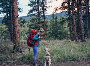
Day 1: Park at the Payne Creek/Brookside Trailhead (8,040 ft.) right outside Bailey. You'll go on the trail for about a mile before the trail parts to Craig Meadows or Craig Park. If you start this in the nighttime, it's best to camp before you part ways on the trail as it's a little more spacious once the trail divides. However, assuming you start in the daytime, head left to go toward Craig M...
Hike South Table Mountain
Golden, Colorado
4.0
3.3 mi
/ 1500 ft gain
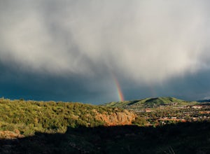
Want to see a rainbow? Possibly some coyotes or other Colorado wildlife?This hike is full of twists and turns, mostly involving the trail, but also in surprises along the way.Drive into downtown Golden (grab some food if you're hungry) and then park at the base of the Golden Summit trail. Starting this hike before 4 pm is ideal (after all, it does start to get dark earlier in the winter), but t...
Hike Bear Peak
Boulder, Colorado
4.8
7 mi
/ 2810 ft gain
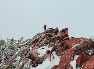
The best advice I can give you? Wake up early to start this hike.Even though the Bear Peak hike will only take you about 4-5 hours round trip, it will still be advantageous to get off the mountain before afternoon and evening storms might pass through. This is a steep 7-mile out and back trail.Start at the South Mesa Trailhead. Take Eldorado Springs Drive until there's a dirt road turnoff; take...
Snowshoe Lost Lake
Nederland, Colorado
5.0
2.7 mi
/ 791 ft gain
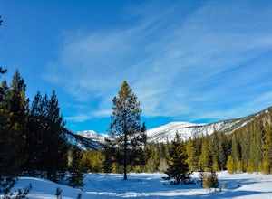
Driving through the towns of Nederlands and Eldora alone is a beautiful experience. Once you come up to Hessie Trailhead, you'll already be in a daze because you'll be staring at Eldora Mountain and will see some ski runs in the distance.Getting to the trailhead early is best. Parking starts along the street next to the trailhead and fills up fast. Once you find a spot, grab your snowshoes and ...
Kayak Sucia Island
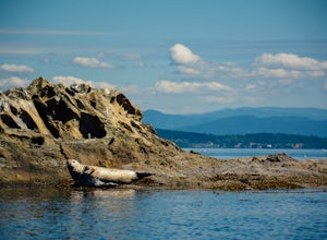
Eastsound, WashingtonIt may be daunting to figure out how to kayak in the San Juan Islands.If you're a beginner/intermediate kayaker, this is the trip for you.First, you'll want to plan ahead and reserve a kayak for Sucia Island. We used Outer Island Expeditions which was nice because they make it pretty easy for you.Day 1:Once you have your reservation set, start to make your way to Anacortes to catch a ferry to O...
Waterton Lakes via Packers Roost
West Glacier, Montana
5.0
22.15 mi
/ 4596 ft gain
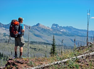
Day 1: This gorgeous backpacking adventure begins at the Packer's Roost trailhead, which is almost halfway between West and East Glacier on the Going-to-the-Sun Road. This trailhead is marked on the highway before you get to the "Loop." It's a quick left turn so keep your eyes peeled as you pass Lake McDonald. Here's an address you can put into Google Maps (48.745598, -113.780702). Take note, t...
Ice Fish on Lake Granby
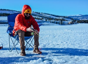
Granby, ColoradoLooking to catch some fresh trout? This might be the place to get it! If it's your first time fishing Lake Granby, here's some pointers:Those of you coming from Denver, take US 40W past Winter Park, Fraser and Tabernash until you hit Granby. After you pass through the town of Granby, turn right onto US Highway 34. Once you get close to the lake, hang a right onto US 6. You can park on the left ...
Hike the Golden Cliffs Trail
Golden, Colorado
5.0
From here, you can choose a few different hiking paths. This out-and-back trek starts at the trailhead up and to the left. Along the way you'll pass a bench dedicated to Craig Luebben — a writer, photographer and climbing guide. At this point, you probably haven't even broken a sweat yet. It's time to continue on.Keep following the trail along the bottom of the mountain until you reach a rock s...
Death Canyon to Fox Creek Pass
Alta, Wyoming
5.0
18.15 mi
Day 1: This trip begins at the Death Canyon Trailhead. Try to arrive early, as it gets crowded and various groups day hike from here. After the first few miles, you’ll encounter Phelps Lake. You’ll have several opportunities for photos, and they will all be beautiful. As you continue on, be on the lookout for moose. Often times they are munching on grass on the sides of the trail.
After trave...
Community
© 2024 The Outbound Collective - Terms of Use - Privacy Policy

