Bike from St. John's to Cape Spear
St. John's, Newfoundland and Labrador
21.6 mi
/ 682.4 ft gain
Whether you're an east-coast local, a cycle tourist starting out on a journey westward or a veteran cyclist finishing a trans-Canada ride, Cape Spear is a must. Who wouldn't want to say they've bicycled the eastern edge of the continent? It's a great physical push, a simple day trip and easily one of the most rewarding rides you can take on.
If you're cycle touring, you have the option of strip...
Photograph the Isthmus of Avalon
Little Harbour East, Newfoundland and Labrador
0.6 mi
/ 131.2 ft gain
Newfoundland is perhaps best known for its outport villages on the coast, but in between the communities lies a beautiful and rugged island geography. One of the most visually stunning places to witness this is at the Isthmus of Avalon—where the Avalon Peninsula meets the rest of Newfoundland.
This adventure is simple but it's not the beaten track. You won't find bathrooms or groomed trails he...
Explore the Cliffs of Étretat
Étretat, France
3.0
5 mi
/ 394 ft gain
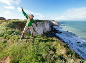
Étretat is a small tourist and farming town on the coast of Normandy, best known for its coastal cliffs. It features wide pebbled beaches, natural arches and an eroded rock—and hiking trails connecting them all together. I didn't spend much time in town, but it looked like a great little place to spend the day.The easiest way to get to Étretat is by car (trains no longer operate all the way to ...
Dewey Point via Tunnel View
Mariposa County, California
5.0
9.25 mi
/ 2979 ft gain
Dewey Point lies on the western side of the Pohono Trail, across the valley from El Capitan and above Cathedral Rocks. When I was there in September, it was deserted but for a few birds drifting on the thermals above the cliffs. The sunset was stunning. It felt like there was nothing between me and John Muir's cathedral.
There's a number of ways you can reach Dewey Point—from Glacier or Taft P...
Rock Dunder Trail
Lyndhurst, Ontario
4.3
3.1 mi
/ 305 ft gain
NOTE: Starting September 18, 2020, visitation to Rock Dunder hiking trails will be limited to 30 groups per hour to manage the number of people onsite at any one time and allow for social distancing protocols to be followed. This will allow everyone to better enjoy their visit in a safe manner.
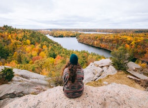
Rock Dunder is a 230-acre wilderness area that contains one of the hidden wonders of eastern Ontari...
Bike the Sentinel Range
Toad River, British Columbia
189.5 mi
/ 3034.8 ft gain
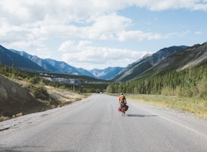
Between Fort Nelson in northeastern British Columbia and Watson Lake on the Yukon border lies the Sentinel Range, a series of stony mountain peaks cut with blue rivers and lined with boreal forest as far as the eye can see. The Alaska Highway, also known as Highway 97, traverses the mountain range, following river valleys and crossing three mountain passes with stunning wilderness vistas that w...
Joint Trail in the Canyonlands Needles District
Monticello, Utah
5.0
19.06 mi
/ 3028 ft gain
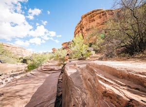
A large part of the grandeur of Canyonlands National Park is the vast barren vista at Island in the Sky, but no visit to Canyonlands would be complete without the intimate and immersive desert experience that the Needles District offers. Drive two hours southwest of Moab away from cell phone reception and into ranch lands to the Needles District Visitor Centre to pick up your permit and human w...
Bike the North Shore of the Saint Lawrence
199 1re Av, Québec
194.5 mi
/ 2398.3 ft gain
Québec is known across Canada, if not North America, for its high quality Route Verte bicycle route. Your route on the north shore of the Saint Lawrence won't quite be the highest quality of bicycling—you'll be on older highways than other parts of the province—but it will be some of the most enjoyable and challenging riding you'll experience.
There's many route options—you could head out and b...
Backpack to Dragon's Back via Horsethief Trail
Ouray, Colorado
5.0
16 mi
/ 3520 ft gain
The Uncompahgre Wilderness stretches out through the mountains and forests of southwestern Colorado, with worn trails lingering beside abandoned 19th-century mines and crossing old alpine sheep pastures. Dragon's Back is the unofficial name for Point 12,968', a small but beautiful summit at the base of Wildhorse Peak. Horsethief Trailhead is located 20 minutes north of Ouray on a gravel road la...
Cycle the Dempster Highway to the Arctic
Dempster Highway, Yukon Territory
453.6 mi
/ 4314.3 ft gain
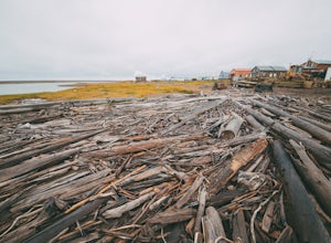
If you've looked at travelling in northern Canada at all, odds are you've heard of the Dempster. It's a rough 740 km gravel road that runs from the Klondike Highway near Dawson to Inuvik in the Mackenzie Delta. It was started in 1959 and completed in 1979 as part of oil exploration in the Arctic, and was Canada's first all-weather road to cross the Arctic Circle. For most of its length, it has ...
Explore Tuktoyaktuk and the Beaufort Sea
158 Navy Road, Northwest Territories
5.0
116.2 mi
/ 119 ft gain
Tuktoyaktuk is an isolated hamlet on the east side of the Mackenzie Delta surrounded entirely by Arctic wilderness. For almost its entire existence, it has only been accessible by boat or airplane, or an ice road in the winter—but in 2017 an 187 km all-weather road was completed connecting it to Inuvik and the Dempster Highway.
If you need guidance on how to get to Inuvik, check out my cycling...
Hike the Bisse du Ro to Lac de Tseuzier
Icogne, Switzerland
11.9 mi
/ 1387.8 ft gain
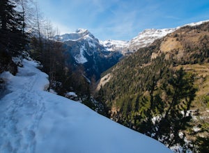
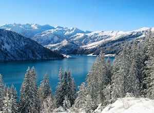
The trail along the Bisse du Ro has its origins in the 15th-century Swiss villagers who painstakingly carved water canals out of the mountainsides in order to irrigate the farmlands of the Valais. It hugs the cliffs all the way to the Ertentse River, with stunning mountain panoramas across the valley to the west.To get there, you're headed up into the mountains above Sion. As with most hiking d...
Hike through Mount Fernie Provincial Park
Fernie, British Columbia
4.0
2.5 mi
/ 65.6 ft gain
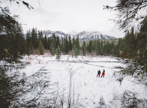
Fernie is a well-known destination for outdoor rec activities, from resort skiing to backcountry touring to hiking and mountain biking. Going for a short winter hike might seem like the least exciting thing you could do, but as a break from the regular nine-to-five, it provides a perfect reconnection to the beautiful natural world that surrounds town.
There are trails used for hiking, biking, c...
Canoe to Georgian Bay in The Massasauga
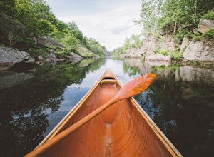
Parry Sound, OntarioThe Massasauga Provincial Park covers the islands and coastline south of Parry Sound, forming part of the globally significant Georgian Bay UNESCO Biosphere Reserve. It preserves the unique landscape of eastern Georgian Bay; clear blue water, towering pine trees and ever-present Canadian Shield bedrock.Before you head out on the water, you'll need to reserve your sites on the Ontario Parks onli...
Snowshoe the Cormet de Roselend
Beaufort, France
18.6 mi
/ 2986 ft gain
The Roselend mountain pass is known in the cycling world for being part of the Tour de France, but in the winter it is essentially deserted. There are a few old buildings, a small electrical station and you'll perhaps see some locals out for a ski, but my bet is you'll feel magnificently alone in the alpine countryside.You will be snowshoeing on the road itself, which is closed and unmaintained...
Explore the Coastline at Reynisdrangar
Reynishverfisvegur, Iceland
1.2 mi
/ 16.4 ft gain
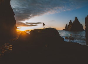
Reynisfjara—one of the largest and most striking examples of Iceland’s black sand beaches—is a well-known stop for those exploring the South Coast. Be sure to hike to the east end of the beach to get a better look at the cliffs and the wide ocean vista.
According to legend, the sea stacks were formed by a couple of trolls who tried to drag a ship to shore but were turned to stone by the arrival...
Backpack the Creux du Van
Val-de-Travers, Switzerland
5.0
8.7 mi
/ 2379 ft gain
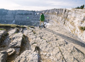
The Creux du Van is found in the wilderness above the town of Noiraigue, a 20-min train ride from Neuchâtel in northwestern Switzerland. It features a magnificent vista ruled by the ibex and wildflowers of the alpine landscape—and it's only a short day hike from the valley below.If you're arriving from a different part of Switzerland or France, I recommend taking the train. It's about two hours...
Catch a Sunset at Green River Overlook
Moab, Utah
4.5
Turn right on Highway 313 after Mesa Arch Trailhead and follow the road past Willow Flat Campground to Green River Overlook. Park at the parking lot. Climb over the railing onto the rock edge. Sit and breathe in that desert wind and distant sun. Simple as that.I recommend camping at Willow Flat to get the most out of Island in the Sky. Sites are available year-round, but they're first-come, fir...
Canoe to Crooked Lake
Kirkfield, OntarioQueen Elizabeth II Wildlands Provincial Park is an undeveloped park with no maintained public facilities or services. The backcountry campsites are first come, first serve and non-reservable. It features rugged canoe routes through lakes and wetlands, and the wilderness section of the Ganaraska Trail. The locals call it ‘the QE2.’
You’ll be following a simple canoe route from Head Lake to Croo...
Hike to the view from Bláhnúkur
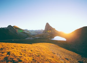
63.992115,-19.058868, Iceland
4 mi
/ 1640.4 ft gain
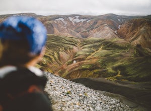
The route for the Laugavegur Trail technically leaves the trailhead Landmannalaugar through the Laugahraun lava field—but if you choose not to detour over Bláhnúkur, you’ll miss one of the most visually stunning parts of the entire trail. If you’re camped out at Landmannalaugar instead of trekking across the highlands, the Blue Peak makes for a great day hike.
There are three backcountry roads ...
Swim at Big Sandy Bay
Kingston, Ontario
5.0
6.9 mi
/ 55.8 ft gain
For a few years, my friends and I made this a yearly tradition; grabbing the ferry across the St. Lawrence River and biking across Wolfe Island to Big Sandy Bay, where we'd swim, have lunch and watch the sun go down. I'm not sure if we'll get the chance again so I'm passing it on to you.Big Sandy Bay is a conservation area. It's managed in the summer months because it's a very popular family an...
Hike the Clifftop Trail in Bon Echo Provincial Park
Cloyne, Ontario
5.0
1.2 mi
/ 377.3 ft gain
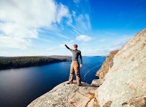
Bon Echo is well-known for its deep, clear lake and the native pictographs that adorn the sheer cliff on the north shore. It is a well-sized park with 400 car-accessible campsites in Mazinaw Campground that are walking distance from the lake.Your first step is to reserve your site on Ontario Parks. Bon Echo is open for day use and camping from mid-May to mid-October, with skiing or snowshoeing ...
Camp at Neys Provincial Park
Neys Provincial Park Roads Road, Ontario
5.0
1 mi
/ 0 ft gain
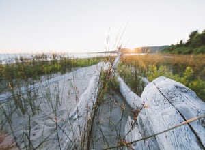
On the Ontario Parks website, Neys is described as one of the finest sand beaches on the north shore of Lake Superior, with Pic Island as it was immortalized by Lawren Harris of the Group of Seven, sub-Arctic plants, forest trails and pristine shoreline. That pretty much says it all. If you're driving through northwestern Ontario, Neys should be a stopping point. Spend a night on the lake. You ...
Take in the view at Dyrhólaey
63.402694,-19.130320, Iceland
4.7
0.3 mi
/ 16.4 ft gain
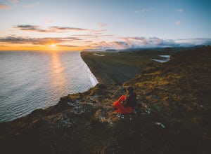
I put Dyrhólaey on my to-visit list because of the rock arch that gives the peninsula its name. What made it memorable, however, was its breathtaking view—the flat, treeless coastline jutting into rock shelves and glacier peaks is typical for Iceland’s south coast but was absolutely remarkable to view from above.
I recommend that you spend the night in Vik, which has a number of sleeping option...
Community
© 2024 The Outbound Collective - Terms of Use - Privacy Policy


