John MauriziExplorer
Hike the Bald Cypress Trail
Virginia Beach, Virginia
4.0
1.8 mi
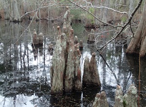
This is an easy hike that meanders a bit more than any of the other trails in the park. It is also the most diverse in what you will see. The trail itself ranges from an easy foot path with a pine needle bed trail then passes through swamps and bog's via well crafted wood boardwalks with great views of the Bald Cypress and Spanish Moss. The trail is a loop hike of about 1.8 miles. If you only h...
Walk with Penguins on Martillo Island
Ruta Provincial J, Argentina
5.0
There is only one company that has a permit to go on Martillo Island, while all the other tours take people to shoot photos from a boat. The company that has the permit is Pira Tour. We paid $100 usd (it was a little less because we drove ourselves one hour to Harberton. It was so worth it!!! If you don't do anything else while in Ushuaia, please don't miss this experience! From the Acatushin M...
Explore Rhyolite Ghost Town
Beatty, Nevada
1.1 mi
/ 118 ft gain
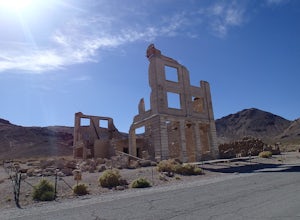
Just outside of Death Valley National Park, Rhyolite is 35 miles from the Furnace Creek Visitor Center on the way to Beatty, Nevada. Rhyolite Ghost Town is a result of the gold rush in Nevada. The town was very lively, with active citizens who enjoyed baseball games, dances, basket socials, tennis, a symphony, Sunday school picnics, basketball games, Saturday night variety shows at the opera ho...
Hike the Timberbrook Pond - Riley's Rise Loop
Rockaway, New Jersey
5 mi
/ 500 ft gain
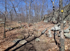
The trailhead parking is at the end of Timberbrook Road, before the road enters Camp Winnebago (Boy Scouts). I hiked this in a clockwise directions starting on the Timberbrook Trail (yellow markers). After about 1 mile the trail ends at a junction with the Four Birds Trail (white markers). Turn right and follow for two miles to the top of Riley's Rise. There is no view from the trail but you...
Trillium Falls
Orick, California
2.68 mi
/ 469 ft gain
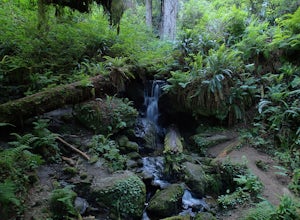
Trillium Falls trail is a nice little hike through a second growth and old growth redwood forest. The trail is lined with sweet smelling ferns and has plenty of shade the entire route. This would be good for a midday hike in summer.
The trail starts from the Elk Meadows Day Use parking area. Start from behind the restrooms and walk down the paved bike path. Soon you will see a sign directing ...
Magnificent 7 Trail
Moab, Utah
22.12 mi
/ 2254 ft gain
The Mag 7 a relatively new mountain bike route in 2012 that parallels Gemini Bridge road where the trail begins. The trail consists of 4 sections, Bull Run, Arth's Corner, Little Cyn, Gold Bar and Gold Bar Rim. Everyone is talking about this route and it is all great. I have to agree. This will become a classic and a must do if you are mountain biking the area.
There are several ways to acces...
Hike the Jessup/Highlands/Long Path Trails
Monroe, New York
7.8 mi
/ 500 ft gain
This trails starts at a small park in Woodbury called Gonzaga Park. Closed from mid-November to April, you are still able to park just outside the gate if that is the time of year you are hiking. Three different trail names share this path. The Jessup trail starts/end at Gonzaga Park and travels through all of Schunemunk State Park. The Highlands Trail and the Long Path also share this trai...
Hike Sendero Punta Catedral
Quepos, Costa Rica
1 mi
To access this trail, you must pay the $16 park entrance fee. It's a 1.25 mile from the entrance gate along a gravel road but there are signs marking the way to the trailhead.
Translated, Sendero Punta Catedral means Cathedral Point Trail. It is a 1 mile long trail that circles Cathedral Point peninsula. This trail has been improved quite a bit since the very first time I hiked it. Now, the tr...
Hike the Millbrook Mountain/Gertrude Nose loop
Gardiner, New York
9 mi
/ 1700 ft gain
This great loop hike starts from the upper parking lot of Lake Minnewaska State Park. Walk towards Lake Minnewaska and once on that carriage road, turn left and follow the road to the to the opposite end of the lake. Along the way are great view points of the lake and several picnic areas for day use. Once you arrive at the far end of the lake, you are at lake level. Here, you will see the sig...
Hike the Riverview Trail
Williamsburg, Virginia
4.0
7.5 mi
/ 150 ft gain
From the parking area at the visitor center, pick up the Backbone Trail marked with gold blazes. The trails are well marked with signage and arrows. Follow the Backbone Trail for 2 miles under you reach the trail junction of Powhatan Forks Trail. After a half mile the this trail splits with the Riverview Trail on the right.
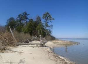
The Riverview Trail is 1.5 miles long and ends at a sand beach along...
Explore Rongbuk Monastery at the Base of Mt. Everest
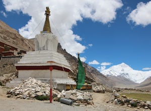
Rikaze Shi, ChinaRongbuk is the highest monastery in the world. It has quite a beautiful backdrop featuring Mount Everest. I did not have time to go inside. The cost to enter was 40rmb but you are permitted to wander around outside or do the Kora at no cost. The Kora is lined with Mani stones and stupas. Several prayer wheels are near the entrance but not many more past that. The monastery sits at 16,300 feet ...
Hike the Osborn Loop
Philipstown, New York
7.6 mi
/ 850 ft gain
The Osborn Loop trail itself is not a loop. It connects to a 2.5 mile section of the Appalachian Trail. Hiking these together creates the loop. Start at the trail head for the Appalachian Trail on South Mountain Pass Road. There is parking for two or three cars. Walk up the road a short distance until you see the white markers for the Appalachian Trail. This is the steepest section as you...
Camp at Kens Lake Campground
Moab, Utah
4.0
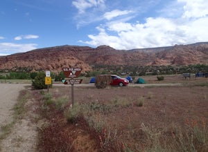
Ken's Lake is an excellent location for peace and quiet. It is operated by the Bureau of Land Management and you can register on site or the reservation system at Recreation.gov. There are three group sites and 30 tent sites so relatively small. Faux Waterfall is within walking distance and a nice place to explore.
Ken's Lake does have a beach and swimming is permitted but there are no lifeguar...
Hike the Cornish/Brook/Notch/Washburn/Undercliff Loop
Cold Spring, New York
8 mi
/ 1500 ft gain
This loop is a great option to avoid crowds on the west side of the Washburn trail. Start at the same trailhead for the Washburn Trail. The Cornish Trail is on the left and there is an obvious sign at the trail split a few feet from the parking area. The Cornish Trail is an old road from about 70 years ago when families lived on the mountain. You will pass several old stone ruins, one which...
Mountain Bike the Moab Brand Trails
Moab, Utah
5.0
10 mi
/ 200 ft gain
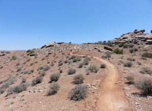
The Moab Brand Trails are a series of trails about 7 miles north of the Colorado River, north of Moab. They get their name from four of the major trails that spell out "MOAB." They include the Bar M, Circle O, Rockin A and Bar B. I was curious how they came to the names and my local bike shop mechanic informed me they are named after Cow branding irons used by local ranches. There is much mo...
Explore Prasat Kravan
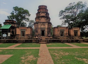
Krong Siem Reap, CambodiaPrasat Kravan is a small temple in an open area south of Banteay Kdei and Sras Srang. The temple is a row of five brick towers with the central tower being the tallest. The towers are aligned north to south and are constructed in the Khmer style. Inside the central tower you will find the best preserved carvings however, much of the carvings at Kravan have eroded. There is some signage describ...
Explore Banteay Kdei Temple
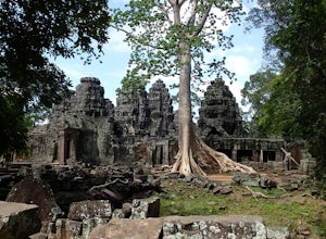
Krong Siem Reap, CambodiaBanteay Kdei complex is located southeast of Ta Prohm and typically visited as part of the small circuit through Angkor. It is best for your Tuk Tuk driver to drop you off at the west end of the temple and wait for you at the east end of the temple. This way you can make your way through the temple and not have to back-track. Banteay Kdei is not as well preserved as Ta Prohm or some of the ot...
Hike the Mount Mohican-Raccoon Ridge Traverse
Columbia, New Jersey
7.5 mi
/ 1500 ft gain
This point to point hike can be done in either direction. There is parking at the entrance to Worthington Campground. Cross Old Mine Road and start up the Garvey Spring Trail (orange markers). The trail passes Laurel Falls on the right then ascends steeply until you reach an old forest road. The trail follows this until it breaks off and ascends another single track section. The trail ends at ...
Hike the Trumbull Trail in St. Croix
Frederiksted, U.S. Virgin Islands
3 mi
/ 700 ft gain
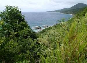
The Trumbull Trail starts on the grounds of the Renaissance Resort at the central part of the north coast. There is free parking at the resort. From the parking area walk along the hotel road toward the tennis courts. As you walk up a hill there is an arch bridge leading to the trail head. Once on the trail you are leaving the resort property. A short way in the trail splits. Follow the trail t...
Hike the Upper El Chorillo del Salto Waterfalls
El Chalten, Argentina
2 mi
/ 600 ft gain
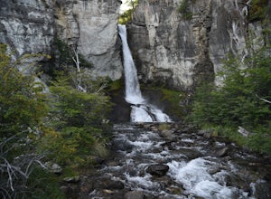
The parking area is about 1 mile from the Laguna de los Tres trailhead to Fitzroy. Follow the dirt road to the right. If you have a car, you can drive all the way to the Chorillo del Salto trailhead where there is a good parking lot.
The initial half mile is a flat well maintained trail to the base of a 60 foot waterfall. There is several social trails that can be followed tot he left. They...
Explore Leadfield Ghost Town
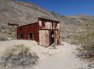
Inyo County, CaliforniaLeadfield is located on Titus Canyon Road and requires a high clearance vehicle to get back and explore. There is a marker designating the site so it is easy to find. There is about three in tacked buildings and several other ruins along with a few mine shafts. Copper and lead claims were filed in the early 1900's but the town boomed in 1926 with advertising of a rich lead find. This was mislea...
Community
© 2024 The Outbound Collective - Terms of Use - Privacy Policy

