John MauriziExplorer
Woodmarsh Trail
Lorton, Virginia
4.0
2.83 mi
/ 154 ft gain
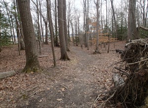
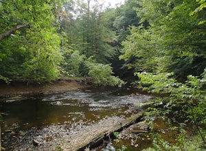
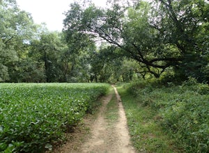
Just at the entrance to Mason Neck State Park is the Woodmarsh Trail. The entire loop is about 3 miles. This is a pleasant easy hike that is relatively flat with no rocks to speak of. The trail wanders through a forest and passes by a large swamp along the Potomac River. There is one well built observation platform along the way called Eagle Point. After this point the trail approaches the mars...
Explore Hache Island
Cabo de Hornos, Chile
1.5 mi
/ 100 ft gain
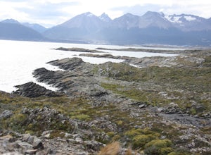
Hache Island, commonly known as “H” Island because of it’s shape, is only accessible through a tour with Tres Marias based in Ushuaia. You should arrange your tour the day before you want to go although they do take last minute bookings if space is available. They offer two option to the island, motorboat or sailboat. Each time I’ve done this trip with them (2012 and 2018) I have gone on the...
Sunset Point - South Beacon Mountain Loop
Beacon, New York
4.0
8.92 mi
/ 2470 ft gain
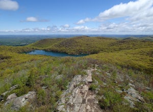
This loop hike form the Notch Trail northern trailhead on Route 9D.
There is enough parking at this trailhead for about 5-6 cars. The Notch
Trail is identified with blue trail markers. It is well maintained and
plenty of markers to guide your way. This is important because there
are many unmarked fire roads in this area and it is very easy to lose
your way. As part of this loop h...
Hawk Falls in Hickory Run State Park
Albrightsville, Pennsylvania
4.1
0.68 mi
/ 108 ft gain
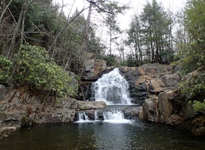
Hawk Falls is located in Hickory Run State Park, Pennsylvania in the Poconos Mountains. The trail is mostly downhill, with some slippery sections so wear adequate shoes and take caution when you approach the falls. A rock outcrop at the top of the falls makes for a great lookout point. The 0.7 out-and-back trail is a good option for families as it is fairly short and manageable for hikers of al...
Hike the Ganden Kora
Lasa Shi, China
2.5 mi
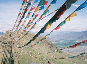
Ganden Monastery is one of the three major Buddhist university's in Tibet. Many monks study here and there is no shortage of Tibetans making a pilgrimage to the monastery. Ganden sits on the side of a mountain, laid out is crescent shape. This is the only Kora that I have done where the path leaves the immediate exterior wall of the monastery and ascends a mountain that overlooks the surround...
Hike the Buster Island Loop
Lake Wales, Florida
6.7 mi
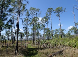
The Buster Island Loop hike is the longest hike in the park at 6.7 miles. It is completely flat and easy hike that goes through a varied landscape. The trail starts from the north side of the parking lot (only one parking area). Follow the blue connector trail a short way to a road. Here you will see a sign for the Buster Island trail to the left. Follow the road over a canal where the road the...
Camp at the EBC Tent Village
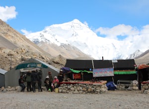
Rikaze Shi, ChinaThis is the recommended place to sleep when visiting Mount Everest from the North. There are many Yak wool tents, each has a unique name outside the entrance. It's very interesting to see. A few issues with any of the tents. If you need to go to the bathroom, all the "toilets" are behind the tents on the right (when face Everest). All the "hotels" have tables in front selling Tibetan items and ...
Walk the Tashilhunpo Kora
Rikaze Shi, China
2.5 mi
/ 500 ft gain
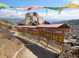
Tashilhunpo Monastery is the second most holy monastery in Tibet and home to the Panchen Lama (second seat to the Dalai Lama). I never had the time to walk the Tashilhunpo Kora during my first two visits to Tibet. Although I was in Shigatse (Tibetan spelling, Xigaze in Chinese), I never took the time. On my third visit I finally made the time. It's a wonderful Kora, long with Prayer wheels lini...
Hike the White Trail in Ridley Creek State Park
Glen Mills, Pennsylvania
2.5
5 mi
/ 450 ft gain
The white trail is the only true loop hike in the park. Strangely enough, it has no official trailhead. You can gain access to the trail from either Pavilion/picnic are #9 or Pavilion/picnic area #16. I chose picnic area #9 and hiked in a clockwise direction. This section starts very close to and follows Ridley Creek. You do have access to Ridley Creek for a short distance where there is a side...
Photograph Wat Rong Khun - The White Temple
San Sai, Thailand
5.0
Wat Rong Khun is better known as "The White Temple" and is one of the
most recognizable temples in the world. It state of the current temple
is a modern rebuild of an older temple that was in disrepair. The best
time of day to photograph the temple is early morning, before other
tourist arrive. It also gives you the best chance to capture the temple
a pond at the foreground of the templ...
Hike to the Klondike Bluff Dinosaur Track
Moab, Utah
3.0
3 mi
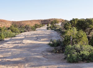
I think these tracks are the best in Moab. Take route 191 north out of Moab for about 13 miles (mile post 142). Klondike Bluff road is on the right. If you pass the airport, you went too far. This road is easily accessed with two wheel drive cars. The parking area is at the end where you will see a wired fence and gate. Beyond this is mountain biking and 4 wheeling. This is nice to hike as well...
Explore the Point Arena Lighthouse and Trail
Point Arena, California
5.0
0.5 mi
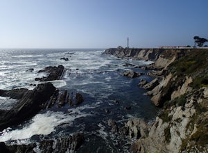
Point Arena Lighthouse is situated on the piece of land that is the closest to the Hawaiian Islands from the continental United States. The lighthouse stands at 115 feet high and you are able to go to the top. I did not have time for this, unfortunately but definitely something I will take advantage of on my next visit. What I did make time for was to hike a short trail that flanked the lightho...
Explore Neak Pean - Ancient Healing Center
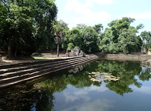
Krong Siem Reap, CambodiaNeak Pean is not a temple. It was constructed as a place of healing. It was believed that soaking in the waters at Neak Pean would balance the individual and therefore cure their illnesses. The center tower is round but the water is divided into 4 quadrants representing Earth, Wind, Fire and Water. Water fills the quadrants and steps all around Neak Pean lead into the water. You can imagine t...
Hike the Heart O' the Forest Trail
Port Angeles, Washington
5.0
4.52 mi
/ 840 ft gain
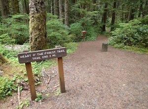
This hike is a short, 4.0 mile round trip, half-day or less hike, located just past the Hurricane Ridge entrance into Olympic National Park. Being relatively level and the trail head just off loop E of the Heart O' the Hills Campground, the Heart O' the Forest hike offers those looking for a taste of the rain forest ecosystem on the Olympic Peninsula a chance to explore without committing multi...
Hike to Huyler's Landing/ Closter Dock Loop
Closter, New Jersey
4.0
5.4 mi
/ 450 ft gain
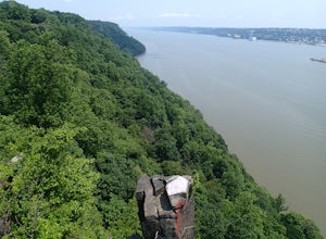
The easiest way to access this loop hike is by parking at the Palisades State Park Headquarters. This is just off exit 2 from the Palisades Interstate Parkway. Parking here is free and it is a short walk down a road to the Closter Dock Trail. The Closter Dock Trail is more of a wide fire road but it is very steep and very rocky. It makes its way down the Palisades as it passes under a stone ...
Thru Hike the Four Birds Trail
Jefferson, New Jersey
19 mi
/ 1200 ft gain
The Four Birds Trail is about 19 miles long and is a great thru hike or can be done in sections as out and back hikes or part of loop hikes with other trails. Starting from the north, the trail ascends gradually over easy terrain until you reach a cliff ridge. There are several good view points to the east. The trail (marked with white blazes) parallels a forest road. It is best to stay on ...
Hike the Perkins/Fahnestock/Charcoal Burners Trail Loop
Cold Spring, New York
7.5 mi
/ 800 ft gain
This is one of my favorite hikes in the Clarence Fahnestock State Park. A real mixed bag but mostly very enjoyable. The trail starts at the Charcoal Burners Trailhead Route 301. There is only road side parking on a soft shoulder, both sides of the road. After a short walk into the forest, you reach The start of the Perkins Trail marked with yellow discs. This section is a little rocky until y...
Hike the Mill Canyon Dinosaur Trail
Moab, Utah
5.0
1 mi
/ 50 ft gain
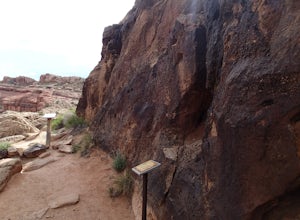
This short trail is located off Mill Canyon rd about 15 minutes north of Moab. A short walk from the parking area leads to an established interpretive trail with signage of where to look for the fossils and a description of what type of dinosaur they belong to. Several different types of dinosaurs can be found here. Some fossils are very easy to see and make out. Others not so much. It is clea...
Explore Monk's Bath Tidal Pools in St. Croix
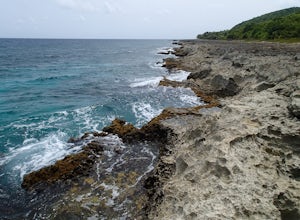
Frederiksted, U.S. Virgin IslandsMonk’s Bath Tidal Pools is interesting but do not go exactly at low tide as the water is too low and many of the pools will not have much water. This coastline is about the most rugged terrain I've seen. The limestone is very sharp and jagged. Do not try and walk barefoot here. Sturdy shoes are recommended. The water crashing on the coast in interesting and there are some pools lower. Be carefu...
Hike Padre Canyon
Ivins, Utah
3 mi
/ 700 ft gain
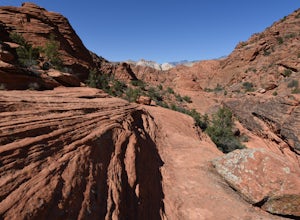
Many people access the Padre Canyon hike in the Red Cliffs Desert Reserve from the south, which has a parking pull-over just south of the Tuacahn Center main gate on Tuacahn Drive. The trail starts from the southwest corner, passing through a fence. Follow the trail around a prominent butte. Once around this butte, the canyon begins to narrow. The trail follows the right side of the canyon then...
Creekside and Brandywine Valley Trail Loop
Wilmington, Delaware
4.5
5.5 mi
/ 20 ft gain
This loops starts out from the Rockland Road Trail head. There is a pay station here that is self-regulated. Creekside Trail starts here and runs the entire length of Brandywine Creek State Park along the Brandywine River. The trail is an easy 2.6 miles long and continues into First State National Historical Park where is meets up with the Brandywine Trail. The southern end of the trail is si...
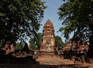
Explore Wat Mahathat
Phra Nakhon Si Ayutthaya, ThailandWat Mahathat means "Monastery of the Great Relic." This is because a relic of The Buddha was housed in the Chedi here. This temple was the largest and center of the religion in Ayutthaya being built around the mid to late 1300's. In 1767, the Burmese invaded Ayutthaya and burned Mahathat. They also decapitated all the Buddha statues you see at this location. The grounds here are beautiful. Ched...
Explore Wat Yai Chaimongkhon
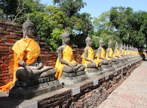
Phra Nakhon Si Ayutthaya, ThailandThis monastery is also known as Wat Phra Chao Phya-thai and Wat Yai Chai-mongkol. The main Chedi here stands 62 meters high and took over 28,000 tons of bricks to construct. The chedi was constructed in 1357 by King U-Thong for monks who had been studying Buddhism in Ceylon. Upon their return, the King named the Monastery, Wat Chao Phya-thai which means "The Temple of the Supreme Patriarch". La...
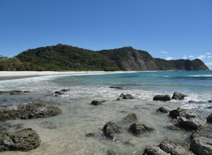
Relax at Playa Barrigona
160, Costa RicaThis was the very first beach I found off the radar about 15 years ago. Every year I travel to Costa Rica, I make a point to return to Barrigona. While there are a few people, mostly locals, that go to this beach, many times I have been the only person here. On several occasions I've found turtle track out of the water during the nesting season.The beach is crescent shaped with volcanic rock...
Community
© 2024 The Outbound Collective - Terms of Use - Privacy Policy

