Bike the Whistler Alpine Trail Network
Whistler, British Columbia
19.9 mi
/ 4940.9 ft gain
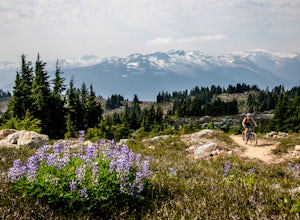
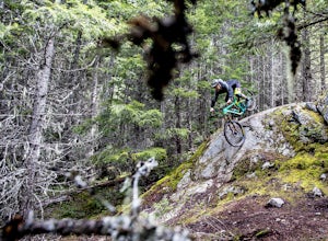
Depending on how ambitious your group is, you can start in Whistler Village, or drive up to the Stonebridge trailhead. From the Stonebridge trailhead, you will take the Darwin's trail climb up to the Rainbow flank trail. This is considered to be a normal climb by Whistler standards, but you haven't even started the climb to the alpine!
Ride east along the flank trail until you get to the "Into ...
Bike "Meadow of the Grizzly"
Squamish, British Columbia
9.9 mi
/ 2834.6 ft gain
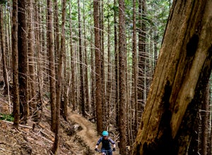
This is a big climb. Be warned. The easiest option is to drive past Quest University in Squamish up Mamquam Road to the Half Nelson trail exit (this is the second parking area up the road). From there, you can either ride up the road to the left, or take the legacy climbing trail until you get to the top of Half Nelson.
Once you are at the top of Half Nelson, the real climb begins. The Stl'lha...
Humbug Mountain Loop
Port Orford, Oregon
5.32 mi
/ 2064 ft gain
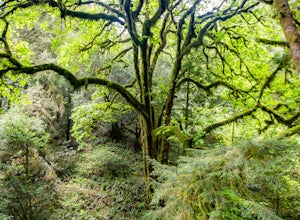
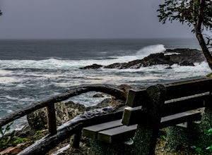
Starting out at the pullout on the highway across from the Humbug Mountain State Campground, follow the winding trail up through the forrest to the top of the mountain. There is a nice bench at the top for a snack (or a beer).
The hike is fairly long and demanding, but isn't too steep due to the switchbacks up the mountain.
There is a west trail and an east trail - We took the west trail up...
Hike to Crawford Falls
Kelowna, British Columbia
4.0
2.5 mi
/ 200 ft gain
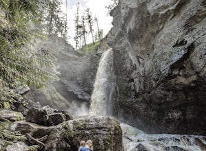
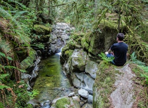
Park in the cul-de-sac at Canyon Falls Court - Make sure you park in a spot you are allowed to park in, and don't block any driveways! Hike out to the sign for crawford falls, and head down into the canyon. Once you hit the creek, turn left and walk up along the creek towards the falls. You will hit the first falls which are impressive, but a quick scramble up to the second falls is definitely ...
Hike to Cypress Falls in West Vancouver
West Vancouver, British Columbia
4.0
3.1 mi
/ 400 ft gain
Drive the the end of Woodgreen Pl in West Vancouver, and you will pass the tennis courts on your right. You will see a little dirt road that heads up into the woods on your left - drive up this road ~30 feet into the parking lot. From the Parking lot, hike up the trail beside cypress creek (this is very well marked).When you get to the bridge (~500m into the hike) DO NOT CROSS THE BRIDGE. Inste...
Camp at the Top of Kafir Peak
Squamish-Lillooet C, British Columbia
5.0
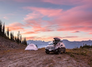
At the turn off to Birkenhead Lake Provincial Park, take a hard left to the Telus cell phone tower access road (there is a telus branded sign). Drive up the road, which is very steep at times. High clearance and four wheel drive are a must! Drive up to the top, take in the view, and find a place to set up camp for the night! Make sure you adhere to any fire bans in place, and clean up your garb...
Ski the "Peak To Creek" in Whistler
Whistler, British Columbia
4.0
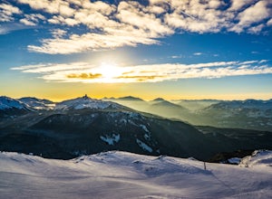
Start at the Creekside Gondola in the Whistler Creekside Village - The village that is closest to Vancouver. There is generally lots of parking in the parkade, although it can get very busy on the weekends. You will need a lift pass, which you can buy at guest services at the base of the Gondola. If you are a pacific northwest resident, look at getting an edge card, which provides you with a di...
Explore Lapakahi State Historical Park
Waimea, Hawaii
1 mi
/ 50 ft gain
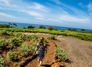
Drive north along the Akoni Pule Highway for approximately 45 miles. When you reach Lapakahi State Historical Park, turn left of of the highway and find a parking spot.
The fishing village itself consists of several volcanic rock walls along the shore. It is a great stop while exploring the northwest coast of the island. Lots of informative signs to tell you all about the history of the area. ...
Hike the Wild Pacific Trail
Ucluelet, British Columbia
4.6
2.5 mi
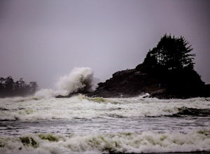
Drive south west on Coast Guard drive to the parking lot for the wild coast trail to your left (where the pin is). Park in the parking lot, and head to the trailhead where the big sign board is. We completed the lower loop in approximately one hour, but you can continue up the coast all the way in to Ucluelet if you are so adventurous. This is a prime spot for winter storm watching as it is ver...
Run the Stanley Park Seawall
Vancouver, British Columbia
4.6
7.5 mi
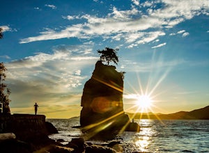
Start at either end of Stanley Park, running directly along the pacific ocean on the seawall path. I prefer to run from Coal Harbour to south towards English Bay - a better view, and you can stop at sunset beach for a post-run drink!
Photograph Sunset Point in Tofino
Tofino, British Columbia
5.0
You can park at the public beach parking at Cox Bay Beach Resort and make your way out on to the beach. Once you are on the beach, head north until you get to the "Sunset Point" trail sign. The trail walks through the woods for ~100m until you join up with a boardwalk that takes you out to the point. Follow the boardwalk approximately 500m until you get to a rocky outcrop with a picnic table. O...
Yellow Aster Butte
Whatcom County, Washington
9.08 mi
/ 3258 ft gain
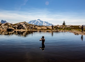
Yellow Aster Butte has to be one of the most visually rewarding hikes in the Mt. Baker-Snoqualmie National Forest for the effort required to get there. Abundant with lush, rolling mountain meadows, hikers can be treated to an abundance of wildflowers, heather fields, and berry patches with dreamy scenes of rugged peaks in every direction on the 9-mile round trip will get you up to the top of Ye...
Hike along the Whistler Valley Trail Lit Section
Whistler, British Columbia
1.2 mi
/ 164 ft gain
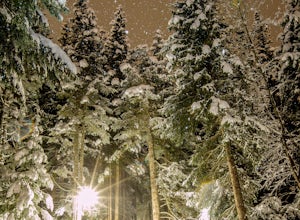
The best place to start you adventure on the Valley Trail at night is at the Whistler Golf Club - Directly across highway 99 from the whistler conference centre. From the parking lot (pay attention to pay parking times), walk west towards the clubhouse, where you will find the entrance to the Valley trail. Although the trail goes for many kilometres in either direction, this particular stretch ...
Mountain Bike "Out There" on Wedge Mountain
Whistler, British Columbia
2.5 mi
/ 820.2 ft gain
The most direct route is to start at the Wedgemount trail head parking lot and ride up the Logging road to approximately the 4.5 KM mark.
The trail starts out smooth and flowy through some old forest. Lots of great corners and no particularly technical sections. The trail then takes a complete change of pace and begins to introduce several steep rock rolls. The second half of the trail plays t...
Relax at Alpha Lake Park
Whistler, British Columbia
1 mi
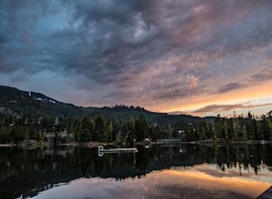
Located in Whistler Creekside, Alpha Lake Park is one of Whistler's hidden gems. Just off of Lake Placid road on the North Side of the Highway, there is lots of parking in the parking lot, or it is accessible directly via the valley trail for walkers and bikers. To access, turn on to Lake Placid road North at the Husky station on Highway 99.
The park is well suited for hang outs with several d...
Hike Knox Mountain
Kelowna, British Columbia
3.7
5 mi
/ 1000 ft gain
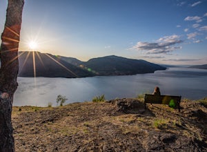
The beauty of Knox Mountain is that it really is a "choose your own adventure" type of place. There is a road that goes all the way to the top, so you can be as lazy as you would like. Hiking from the bottom parking lot to the top takes around an hour, and is well worth it for the views that you get all the way up. There are several trails on the way up, but my favourite is the Pavilion trail t...
Take a Sunset Ride on the Tsawwassen-Swartz Bay Ferry
Delta, British Columbia
4.0
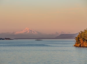
You can walk on or take your car on the ferry. Either way gets you to the same views. Make sure you sit on the right side of the boat (and it sometimes turns around once leaving the dock). Set up on the upper deck, and prepare yourself for an unbelievable show. Make sure you check out the onboard Tripple O's Restaurant for some tasty burgers and fries! For more info on the ferry: http://www.bcf...
Hike to Mystery Lake
North Vancouver, British Columbia
4.0
3.1 mi
/ 492.1 ft gain
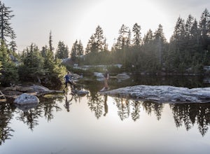
From the Mt. Seymour ski area parking lot, head towards the Mystery Peak Express. Once you have passed the base of the Mystery Peak Express, you will continue up the trail to your left (right goes to dog mountain, straight to the 3 peaks of Seymour). Follow the trail all the way up to the lake. The trail is fairly technical but short (therefore the "intermediate" rating)
Swim at the Lynn Canyon Swimming Hole
North Vancouver, British Columbia
4.5
0.6 mi
/ 50 ft gain
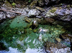
From the last field at inter city park, continue walking down the road to the Lynn Canyon trail. Follow the trail up the wooden boardwalks and to the first open area on the trail. When you can see the creek to your left, head down to the creek. To get to this particular swimming hole, you will have to walk up the creek on the right side about 100 metres, then cross and continue walking up ~100 ...
Hike to the Whistler Train Wreck
Whistler, British Columbia
4.3
3.1 mi
/ 50 ft gain
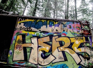
The hike to the train wreck in Whistler changed significantly on September 1st, 2016. The town of whistler installed a suspension bridge over the Cheakamus river, allowing hikers to access the site from the whistler athletes centre, down a well maintained path. There are two options to get to the train wreck, one is to walk down the multi-purpose "Trash" trail, which follows the river bank all ...
Backpack Helm Creek
Whistler, British Columbia
11.2 mi
/ 3000 ft gain
Start your drive by driving up the Cheakamus Lake forestry road to the parking lot (approximately 7km up the road). From the parking lot, start walking down the trail towards Cheakamus lake.
About 2km down the trail, you will see a sign post indicating that you can continue straight to Cheakamus lake, or take a right towards Helm Creek/ Garibaldi lake. Take the right hand turn.
You will then h...
Surf Pacific City
Cloverdale, Oregon
4.5
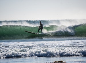
From Pacific City, drive into the Pelican Brew Pub parking lot and right out on the beach to park (4x4 recommended, but not required). Suit up, and head out into the water. Sandy, cold water will greet you with occasional perfect swells to catch back to shore! Perfect for surfing, boogie boarding, or just playing in the waves!Make sure you stop at the Pelican for a beer afterwards - You won't r...
Bike to the Kalapana Lava Flow
Pāhoa, Hawaii
4.0
9.85 mi
/ 341 ft gain
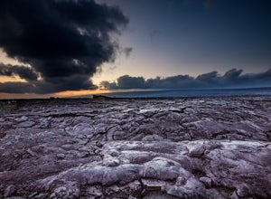
When we chose to visit the volcanic big island of Hawaii, we knew that seeing an active lava flow was a must do. We decided to go at sunset and into the evening, as the lava flow would be spectacular under the dark night sky - we were right.
Start by driving to Kalapana, south of Hilo, on the east coast of the big island. You will arrive at the parking area at the end of the road, where there...
Camp at Harris Beach SP
Brookings, Oregon
4.0
Harris Beach State Park on the Southern Oregon Coast and about a quarter mile north of the town of Brookings, Oregon features a variety of campsites, including yurts, full RV hookups, and even a hiker/biker camp for individuals hiking the Oregon Coast Trail and/or biking the PCH.
From either the day use area or the campground, make your way down to the beach, find yourself a nice private area ...
Community
© 2024 The Outbound Collective - Terms of Use - Privacy Policy

