Jean-Claude Linossi
I am retired and I have always liked the great outdoors. I have been hiking most of my adult life. I like to take pictures of beautiful landscapes and plants.
Explore Foster Canyon.
16085-16107 North Valley Drive, New Mexico
2 mi
/ 300 ft gain
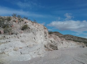
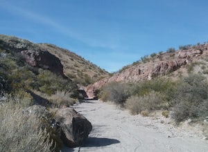
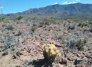
Foster canyon is along hwy NM 185 near Buckle Bar Canyon and Faulkner canyon. It is a fairly easy walk in a sandy arroyo. There some interesting rock formations there. Also by climbing some of the hills off the arroyo you will have some good views of the surrounding mountains.
Walk the Healing Waters Trail
Truth or Consequences, New MexicoWalk around the downtown area of Truth or Consequences, NM and enjoy seeing the old saps and historic buildings. Take in local history and enjoy some great local food.See the full map for trail options here.
Explore Historic Beaufort
Beaufort, North CarolinaSpend a day exploring the old center of town and photographing the old, historic homes and churches. Explored the old cemeteries dating back to the American Revolution. This town has very good views of the inlet where you can watch the boats go by.
Hike the Lovers' Leap Trail
Deming, New Mexico
1.1 mi
/ 790 ft gain
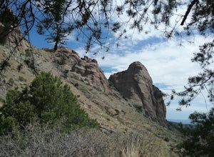
This a short but steep trail to a saddle in the mountains with wonderful views of the surrounding mountains and valleys below. The rock formations are quite impressive. If you like solitude and quiet this is the place to go. Lots of cacti and juniper trees. If you are lucky you will be able to see some bighorn sheep.
Hike the Ranger Peak and Directissimo Trails
1700 McKinley Avenue, Texas
5.0
2.6 mi
/ 1230 ft gain
Take the Aerial Tramway up to the top. The ride up is short but scenic. Once on the platform, hike the Ranger Peak Trail which affords you good views of the El Paso area and the Franklin Mountains. Return to the parking lot below via the Directissimo trail, which is a rather steep and difficult trail. I figured it would be an easier down than up. Very good views along the way.
Drive the Scenic Lighthouse Route in Nova Scotia
Halifax, Nova Scotia
5.0
Drive from Halifax to Lunenburg on the scenic Highway and you'll see several beautiful and historic lighthouses, the pricturesque town of Mahone Bay with its 3 churches, and Lunenbourg a Unesco World Heritage site with many older houses and churches. The views driving along the bay are spectacular!
Explore the Geronimo Trail National Scenic Byway
6 1st Street, New Mexico
65 mi
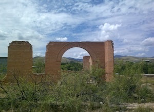
This scenic highway goes through some nice country side and several old historic towns, some almost ghost towns. Lots of history and interesting places to stop. There are also festivals being held at different times of the year. Caballo Lake is also along the scenic byway .
Photograph the Pont Valentre in Cahors
Cahors, FranceVisited the historic bridge during my stop in Cahors. Take in stunning views and make sure you get a photograph to remember this place.
Photograph Place Stanislas
Nancy, FranceVisit this square year round and take photographs of the many historic buildings, statues, fountains, and wrought iron. There are plenty of great restaurants around the square to enjoy a local Lorraine lunch. If you have the time, take a walk around and explore as there are several beautiful, historic sites nearby.
Drive the Route des Vins d'Alsace. Alsace Wine Road
Marlenheim, France
110 mi
/ 500 ft gain
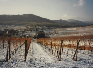
The Alsacian Wine road is a 110 mile long scenic road at the foothills of the Vosges Mountains. The road begins at Marlenheim in Northern Alsace and ends south of the city of Thann in the south.
The road goes through 73 scenic and historic villages. There are over 300 wine cellars offering tours and wine tasting. In the summer many of the houses in the villages are adorned with colorful gerani...
Drive the Forest Heritage National Scenic Byway
Pisgah Forest, North Carolina
5.0
76 mi
/ 1000 ft gain
You can drive this highway getting different views during the different seasons. Along the drive, have your camera ready for beautiful vistas, Looking Glass Falls, and many adventures along the highway. The views are especially beautiful in the autumn with the leaves changing colors. This route doesn't typically show up in GPS or google maps, but you can see a map of the loop on Romantic Ashevi...
Explore Lake James State Park
Nebo, North CarolinaThe park has about 15 miles of trails with different levels of difficulties . Hiked the Lake Channel Trail along the lake with good views of the lake and the Blue Ridge Mountains. Hiked the Mill's creek trail which is nicely shaded and offers good views of the lake and the Linville Gorge area. Hiked the Sandy Cliffs overlook trail which has very good views of the lake. I was there during a to...
Pinery Trail
31.893785,-104.822339
3.0
1.0 mi
Park at the visitor center and start to walk the trail located at the north end of the visitor center. The trail is easy to walk and has very good views of the Park. There are a great variety of wildflowers along the trail during the summer. At the end of the trail you can explore the ruins of the Pinery Butterfield Stage stop. This trail is an easy trail suitable for a family outing.
Hike the Rabbit Ear Plateau.
15595 Baylor Peak Road, New Mexico
5.0
6 mi
/ 3000 ft gain
Park at the small parking area of Baylor Peak rd. Start climbig up the mountain on a old jeep road. The trail becomes steeper the further up you go. Very good views of the Organ Mountains and the Mesilla Valley. Lots of wildflowers along the way in the summer and also cacti in bloom. Did not make it all the way to the end of the trail, too hard for me.
Fort Davis National Historic Site
Fort Davis, TexasFirst took some time to visit the historic buildings and exhibits. After that I toured the grounds and enjoyed the sights surrounding the fort. I also took the time to hike 3 of the trails located within the fort boundaries. Very beautiful views of the mountains and of the wildflowers.
Explore Faulkner Canyon
18 Faulkner Canyon Road, New Mexico
3 mi
/ 500 ft gain
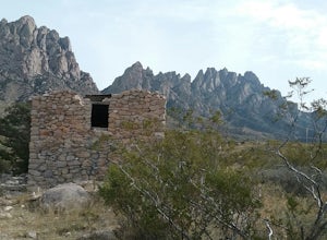
The drive in the canyon is very sandy so a good vehicle is required. In the canyon is the black hill where Billy the Kid and 3 of his friends were hiding out. Was not able to find their names inscribed on one of the rocks.
There are also remnants of an old ranch. Nice walk along a sandy arroyo with some colorful rocks.
Drive the Uwharrie Scenic Road
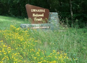
Asheboro, North CarolinaThis peaceful drive begins at the intersection of US 64 & NC 49 in Asheboro, North Carolina. Follow NC 49 along the the Carolina slate belt southwest toward Concord. Along this 50 mile drive, you'll take in amazing views of the Uwharrie National Forest, so have your camera ready!
Hydra Trail in City of Rocks State Park
Faywood, New Mexico
3.66 mi
/ 240 ft gain
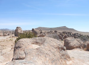
Start the hike from the visitor center. Hike toward the botanical garden and continue on the trail around the rock formations. You can wind your way through the taller rocks and enjoy the view! Connect to the other trails in the park for some additional hiking. There is little shade so bring plenty of water. Be sure to pick up a map at the visitor center or download it here.
Hike to Cox Peak and Mount Riley
County Road A005, New Mexico
5 mi
/ 1500 ft gain
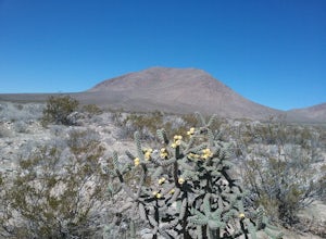
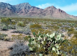
Drove from El Paso to cox Peak this morning. About 45 miles from El Paso. The roads to the mountains are in good condition. Did not hike up the mountain but hiked around the base and enjoyed the views and the cacti. There is not a trail to the top of the mountains and scrambling up the mountain sides is required.
Explore Levi Jackson Wilderness Road State Park
London, Kentucky
4.0
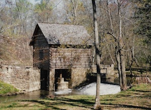
This park is small but has about 8.5 miles of hiking trails. I hiked section of the Wilderness Trail and section of the Boone Trace trail. Visited the Defeated Camp Burial Grounds and spent a good amount of time in the pioneer museum looking at all the artifacts. Also visited Mc Hargues Mill which is along the Laurel river.
Hike the Mayberry Trail
El Paso, Texas
1.8 mi
/ 127 ft gain
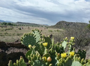
This is a great trail to be able to hike year-round. Great place to see wildlife and wildflowers in the spring and summer. Also a great place to see many species of cacti. This trail connects to the numerous trails in Lost Dog system and has great views of the Franklin Mountains.
Dune Life Nature Trail
White Sands NM, New Mexico
1.8 mi
Started the hike at the Dune Life Nature trail parking area. Two rangers took us all on the trail . We walked up and down the dunes and some flat areas. We started out at sunset and the views of the sunset were beautiful. 30 minutes later we walked in the dark with light of the moon. The sand was beautiful in the dim light of the moon. Saw many night crawling creatures. This hike only takes pla...
Lazy Cow Trail
El Paso, Texas
7.15 mi
/ 420 ft gain
It is a fairly open trail with no shade. This trail is best hiked during the cooler part of the year. The trail is sandy with rocky spots along the way. Bikers also use this trail so be careful . The trail is ~7 miles round trip. The trail connects to other trail within the system. I have hiked this trail several times with my dogs.
Visit the Angers Castle
Angers, FranceGreat visit to the castle, museum and gardens. The castle is very impressive. Also took the time to visit the city of Angers.
Community
© 2024 The Outbound Collective - Terms of Use - Privacy Policy

