Portland Breakwater Lighthouse (Bug Light)
South Portland, Maine
5.0
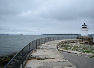
Built in 1855, (also known as 'Bug Light') the lighthouse was used as a breakwater to the bustling harbor of Portland during the booming shipbuilding era during the World Wars.
The small size of the the breakwater eventually led to the lighthouse being decommissioned in 1943, but located in Bug Light Park, much of the history of the shipbuilding era still exists.
Spring Point Lighthouse
South Portland, Maine
4.7
1 mi
/ 39 ft gain
Being a less popular lighthouse out of the many in the greater Portland area, parking is easy and crowds are limited. Parking at Fort Prebble is ideal for a short walk to the lighthouse.
Completed in 1897, off the shoreline of Fort Prebble, Spring Point is a unique lighthouse with huge importance to the entry of the channel, of at the time, one of the busiest ports on the East Coast.
Definite...
Hike the Carson Trail in Rachel Carson National Wildlife Refuge
Wells, Maine
4.0
1 mi
/ 0 ft gain
Pull into the well marked Wildlife Refuge off Port Rd. There's several official building as well as an interpretive center and bathroom very close to the parking lot.The only trail, the Carson Trail, is feet from the parking area. It's an extremely well groomed gravel trail easily accessible for even wheelchairs. Find wildlife along the salt march, including birds of prey as you stroll through ...
Hike and Birdwatch the Apalachin Marsh
Apalachin, New York
5.0
1 mi
Park on the gravel "pull-off" West-bound on Route 434 in Apalachin (See pin). Walk along the fence and turn into the opening where you'll go through a tunnel about 20 yards long. From there you're in the preserve where you can hike the yellow trail, leading to the Bird Blind and other scenic overlooks of the marsh. Spot birds of prey, cranes, finches, and other wildlife. The loop with stopping ...
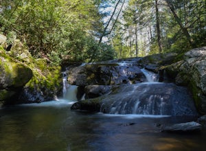
Photograph Sinking Creek Falls
Newport, Virginia
5.0
Park at the Clover Hollow Covered Bridge, and walk or bike 1/3 mile along Clover Hollow Rd in the direction of Blue Grass Trail Rd or to the pin dropped in the location below.When you can see the waterfall, carefully walk down the bank where you'll have perfect angles of the waterfall and surrounding environment.
Hike the Wetlands Loop, BU Nature Preserve
Vestal, New York
4.0
1.4 mi
/ 0 ft gain
Park across from the Nature Preserve Kiosk where you can pay to park ($1 for 30 mins) ask an attendant for directions at the entrance of the university for ease of navigation through campus. The lot is clearly marked however and is titled 'Lot M0'Follow trail markers to hike around the Marsh and Harpur Pond for a solid 1-2 hour trip. See wildlife just about everywhere you turn, but be careful o...
Hike the Freeland Boardwalk Trail
Davis, West Virginia
4.0
0.4 mi
/ 0 ft gain
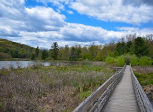
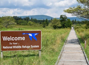
A free entrance and parking area for about a half dozen cars off Freeland Road features this quick adventure for all ages. The Canaan Valley National Wildlife Refuge and Freeland Boardwalk offers a variety of wildlife and environments like Ponds, Wetlands, Forests, and a natural limestone spring.
Also a popular birding trail, the information kiosk near the parking lot offers maps and guides wit...
Hike the Thayer Preserve Loop at Lick Brook
Ithaca, New York
0.8 mi
/ 100 ft gain
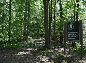
On Townline road, park at the pulloff where you'll see arrows pointing to the "Thayer Loop Trail" and a kiosk describing the trail. This trail is a short trail that travels along the side of Lick Brook overlooking several small cascades and waterfalls. For a section it also passes by a small farm where wildlife can sometimes be seen.
Hike to Kelly's Knob via the Appalachian Trail
Craig County, Virginia
4.3
4 mi
/ 500 ft gain
This is a great day hike for families or groups looking to get out for a short hike on the Appalachian Trail in Jefferson National Forest.From 460W Take Blue Grass Trail Rd then a left onto Clover Hollow Rd/State Route 601. Continue on this for 6.7 miles until you reaches an intersection with the Appalachain Trail. There's some side road parking enough for a few cars and the trailhead is on the...
Hike the Falls Trail at Beltzville State Park
Lehighton, Pennsylvania
4.0
5.5 mi
At the Christman Trailhead, hike a quick, flat 2.5 miles following the yellow trail markers through farm meadows and birch forests to the Falls Trail loop/intersection. Here hike the Falls trail which is a 0.5 mile loop that links back to the 2.5 mile section back to the parking area. Bridges and overlooks make for great views of the creek. I also noticed some small brookies in the stream which...
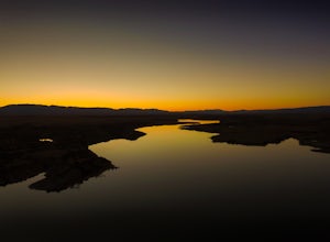
Catch Sunset on the North Shore Pueblo Reservoir
Pueblo, Colorado
1.0
The sunset is great all around the park, but if you're looking for a bit of an adventure and one of my favorite unknown spots follow along below:
Entering the North entrance of the park turn right onto the gravel road right before entering the park gates. Continue down the gravel road through the prairie leading up to the water. Enjoy the sun coming down over the San Isabel Mountain Range in th...
Hike Twin Mountain
Elka Park, New York
6 mi
/ 1586 ft gain
The DEC Parking lot, is located at the very end of a dead end, along Prediger Rd. Start at the trail head to the right of the trail kiosk and sign in sheet. The trail starts out very easy going as you approach the base of Twin. At mile 0.25, you’ll hit a junction where you’ll turn RIGHT towards Twin (clearly marked). From here the trail begins getting steeper where you’ll find a few scramble po...
Hike the War Spur Loop
Newport, Virginia
3.5
2.7 mi
/ 300 ft gain
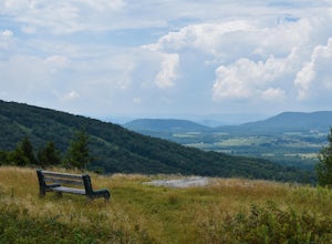
This is an awesome hike to do with limited time. It only took about 2 hours total with time to chill at the overlook. There's a map at the beginning of the trailhead which also shows how to connect over to the Appalachian Trail via the War Spur Connector Trail if you have more time in your day.From Rt 460, take Mountain Lake road for 7 miles to The Mountain Lake Lodge. Continue past the lodge ...
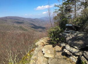
Hike to Wind Rock
Pembroke, Virginia
4.7
0.5 mi
/ 400 ft gain
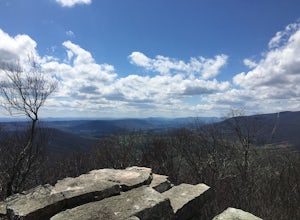
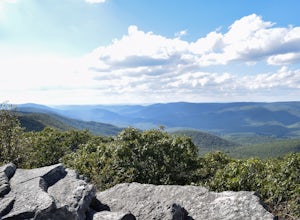
At the parking lot cross the gravel road to the trail head that starts at a map posted on the edge of the road. Hike a quick quarter-mile where you'll turn left to a large rocky outcrop with views of the blueridge. You'll pass a campsite with fire ring before the rocky outcrop and overlook. I've also heard this is a great place to watch the sunset, something to checkout very soon.
Dolly Sods Wilderness North Loop via Rocky Ridge Trail
Davis, West Virginia
5.0
12.78 mi
/ 1378 ft gain
The hike begins at the "Dolly Sods Trailhead Parking" location easily found on Google Maps. The lot is big enough for about 6-8 vehicles.
Begin walking at the end of the gravel parking lot/road for about 0.5 miles until you enter the Dolly Sods Wilderness Area in a small grassy field where several trails begin and are well marked. The North loop is famous for several reasons one being the Rock...
Fish Sinking Creek at Clover Hollow Queens Truss Bridge
Newport, Virginia
5.0
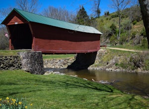
Park alongside of the road at the bridge where 2-3 cars can fit. From here you can fish in Sinking Creek with a great view of this historic landmark. The majority of fish are native brook's and can be caught on a smaller 4-5 wt rod using dry flies.The covered bridge was built in 1916 and spans 70 feet across Sinking Creek. It is one of three remaining historic bridge's in Giles county, but the ...
Mt. Cutler Trail
Colorado Springs, Colorado
5.0
1.79 mi
/ 561 ft gain
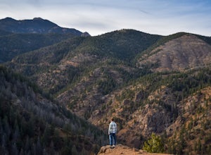
This is a quick hike to add to the list if you're making a trip to the Cheyenne Canon area. Parking is limited to about 15 cars and fills up fast so be sure to start early or the first part of your hike might start from a further parking or pull-off along the road.
This is the same parking lot and trailhead as Mt. Muscoco and is a great hike to pair together!
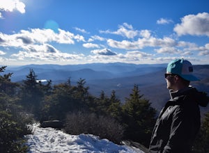
Hike to Bondcliff
Lincoln, New Hampshire
5.0
18 mi
/ 3110 ft gain
Park at the Lincoln Woods Visitors Center off the Kancamagus Highway where the Lincoln Woods Trailhead begins. Because of such a long hike, it's best to start at daybreak, or as early as possible to make it back before dark. The trail starts at the beginning of a suspension bridge crossing the East Branch Pemigewasset River. Follow this for 2.9 miles of relatively flat terrain until you reach t...
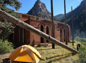
Backpack to the Abandoned Skagway Power Plant and Ghost Town
Teller County, Colorado
3.5
10 mi
/ 1000 ft gain
Construction of the Skagway Plant began in 1899 and was complete in 1901. In 1965, 15 days of rain brought floods washing out a lot of the pipeline and other infrastructure. Fixing the power plant didn’t make sense and funds weren’t in place. The land was reverted to the government.
The hike begins at the Skagway Reservoir parking lot. Walk towards the dam and follow the West Beaver Creek al...
Fly Fish at Salmon Creek Falls
Lansing, New York
5.0
Park at the dead end designated DEC "Fishing Salmon Creek" lot. Casting anywhere on this stretch of stream leading up to Salmon Creek Falls is excellent fishing, especially near the bridge crossing which is in sight from the parking area.Make sure to check spawning seasons for the area online before coming but generally from October-November, you'll see tons of Salmon swimming upstream from Cay...
Hike the IBM Glen Preserve
Endwell, New York
4.8
1.7 mi
/ 400 ft gain
From the parking lot follow the only trail heading downhill, the yellow trail. At the first and second forks in the trail, stay left remaining on the yellow trail. When you reach the creek, I prefer to trek through the creek on a summer day.However the yellow trial crosses the creek and continues to run down the creek's bank and crossing a large stone bridge downstream. If you choose the creek ...
Watch the Sunrise from the Marginal Way Trail
Ogunquit, Maine
5.0
2 mi
/ 70 ft gain
Park near the Oceanside Oarweed restaurant or any other public spots on the cove's peninsula. Marginal Way is a nicely paved 1.25 mile out and back path, perfect for a morning walk or run on the rocky coast.
Catch fishermen, lobstermen, and recreational boats as they leave, or choose to sit at one of the several benches along the way or enjoy the local crowd as the sun comes up.
Hike the Grizzly Creek Trail
Glenwood Springs, Colorado
5.0
7.9 mi
/ 1900 ft gain
Take exit 121 off Interstate 70 (a rest stop exit), and follow signs to a secondary parking lot near Grizzly Creek.
This is a great addition to the nearby Hanging Lake & Spouting Rock hikes just 4 miles East on I-70. Because these two are so popular, Grizzly Creek is a great, not very well known alternative, if you can't make it on the other hikes!
Being an out-and-back route, choose the le...
Hike the West Gorge Trail at Waterman Conservation Center
Apalachin, New York
1.3 mi
Park anywhere near the conservation center when you pull into the parking lot and head towards the open field where a map kiosk stands. Follow the green trail markers (West Gorge Trail) to the creek where it follows along and intersect at about 0.4 miles. From here connect to follow the yellow trail markers (Perimeter Trail) that will take you through evergreen and deciduous forests back to the...
Community
© 2024 The Outbound Collective - Terms of Use - Privacy Policy

