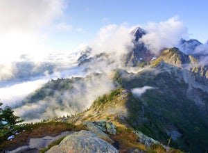
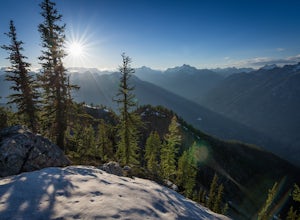
Manning Park, British Columbia
Top Spots in and near Manning Park
-
Manning Park, British Columbia
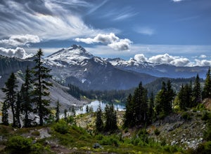
Hike to Mt. Frosty, EC Manning Provincial Park
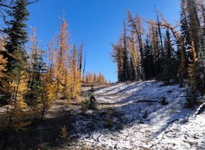
14.2 mi / 5433.1 ft gainThe larch meadows on the approach to Mt. Frosty are known for 2 things: 1. Wild flowers during the summer and 2. Larches during the autumn.The trail climbs up the south end of Lightning Lake; it is well groomed and graded all the way up. The steepest section is the climb out of Lightning Lakes – ...Read more -
Manning Park, British Columbia
Backpack the Heather Trail, BC
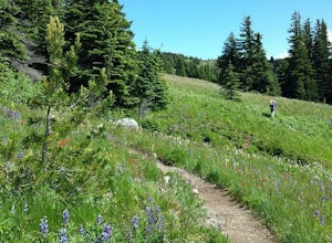
24.9 mi / 1138.5 ft gainThis hike begins in the middle of Manning Park, with a drive up to the trail-head. This means you get all the benefits of alpine views and fields of wildflowers in the summer months, without hiking the elevation gain. Manning Park is on the Crowsnest Highway (BC-3). Across the highway from the ...Read more -
Okanogan County, Washington
Hike Tatie Peak and Grasshopper Pass
11 mi / 1800 ft gainDirection are from Mazama, WA. From Mazama drive west on the Lost River Road for approximately 19 miles to Hart's Pass. Note that the pavement ends around 7 miles from Mazama and the road becomes FS RD 54. The drive up to Hart's Pass is fairly exposed in one spot and has unnerved several of my ...Read more -
Rockport, Washington
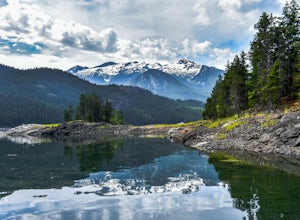
Kayak Ross Lake to Cougar Island and Rainbow Point
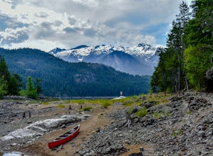
5.0Start from the Ross Lake Trailhead off Highway 20. Hike down with your vessel 1.5 miles to the hull road. From there you can launch your vessel. Ross Lake is very large with many destinations to paddle to. I went to Cougar Island and Rainbow Point then paddled up to multiple spectacular wate...Read more -
Rockport, Washington
Hike to Ross Dam
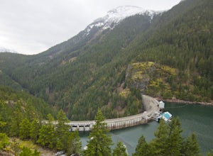
5.02 miThis is a short hike at just under 2 miles round-trip, with little elevation change. The trail begins at a parking area, alongside Washington Route 20. The hike takes you through the forest to an overlook of both Ross Dam and Ross Lake, before making the final descent down to the dam. The trail i...Read more -
Rockport, Washington
Explore Diablo Lake
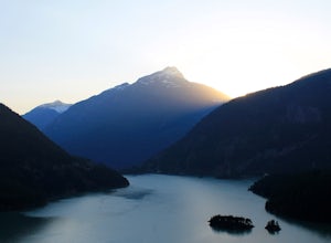
5.0Diablo Lake is a reservoir in the North Cascades created by Diablo Dam. The hue of the lake is created by ground up rocks from local glaciers, which end up drifting down streams into the lake.If you’ve decided to take in the viewpoints driving Hwy 20 through the park, be sure to check out Liberty...Read more -
Rockport, Washington
Sourdough Mountain Trail
5.09.34 mi / 5046 ft gainGoing east from Newhalem on highway 20, turn off towards the small town of Diablo. There are signs from there on where to park. This hike is very difficult. It is very steep and gains elevation very quickly and right from the start. Once you get above tree line though you are greeted with great ...Read more -
Rockport, Washington
Canoe Diablo Lake
Pack up your canoe with supplies for the day and launch from Colonial Creek Campground Area to begin your journey. As you approach the bridge to cross the lake, pull off to the parking area, there is signage for the boat launch area where you can easily carry your equipment down to the water's ed...Read more -
Rockport, Washington
Hike to Pyramid Lake
2.1 mi / 1500 ft gainDay hike with moderate elevation gain, 2.1 miles one way. You will be going up, up, up until you get to the top where you will find the lake. Take your time going up - take breaks and stop to check out the forest around you. There were a few times where we found it difficult to follow the trail (...Read more -
Rockport, Washington
Camping in the North Cascades at Diablo Lake
4.0Diablo lake is the perfect place to camp if you're looking for solitude and natural beauty. It's northeast from Seattle in the North Cascades. Colonial Creek Campground has large camp sites right on the lake. It is first come first serve, however check out is at noon so arrive around 11:30 to sna...Read more -
Rockport, Washington
Backpack Thunder Creek
10.48 mi / 1027 ft gainThis hike along Thunder Creek in North Cascades National Park is perfect for families and beginner backpackers. The trail is at a lower elevation in the park so it is a great early-season hike, but be sure to check with the ranger station for trail and weather conditions before you go. Starting ...Read more -
Rockport, Washington
Backpack to High Camp on Ruby Mountain
17 mi / 6300 ft gainRuby Mountain is one of the North Cascades more prominent peaks, sitting high above Diablo and Ross Lakes. This trip is one for more experienced hikers with a very aggressive incline from start to finish. If that does not scare you then definitely add this amazing hike to your list. While it can ...Read more -
Rockport, Washington
Backpack to Fourth of July Pass from Thunder Creek
11.2 mi / 2400 ft gainStarting at the Colonial Creek Campgrounds, the trail starts out fairly flat taking you along Thunder Creek for about two miles to the Fourth of July Pass trail head. Once you reach here, the trail begins to climb.Beginning with switch backs, the path straightens out for a while before coming to ...Read more -
Hope, British Columbia
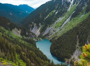
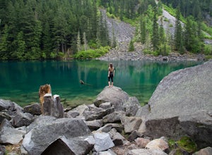
Hike to Eaton Lake
5.0From Exit 68, follow Silver Skagit Road 16km until you reach a sign for Eaton Lake Trail and Eaton Lake Forestry Campsite on the left. There is parking for a few cars a short distance past the campsites where you will find the start of the trailhead on your left. From here, the trail climbs steep...Read more -
Fraser Valley E, British Columbia
Hike to Porcupine Peak
6.8 mi / 4265.1 ft gainPorcupine Peak (also known as Goat Peak) is a little known trail that begins beside the popular Lindeman and Greendrop Lakes trailhead. The hike is tough, going straight uphill for a significant portion, with some ups and downs right before reaching the peak. The trailhead is a bit tricky to fin...Read more -
Fraser Valley E, British Columbia
Hike to Lindeman & Greendrop Lakes
4.46.89 mi / 1240 ft gainYou start the trail in a newly created parking lot (outhouses as well). Follow along the trail, and within a short distance from the parking lot you will come to a fork. Take the left trail (right goes to Flora Lake). This part of the trail is fairly flat with some nice scenery. You will follow t...Read more
Top Activities
Camping and Lodging in Manning Park
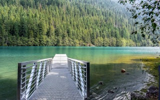
Rockport, Washington
Colonial Creek South Campground
Overview
Colonial Creek South Campground in North Cascades National Park is a remote, yet bustling campground nestled in old growth fores...
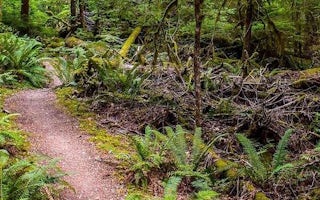
Marblemount, Washington
Newhalem Campground
Overview
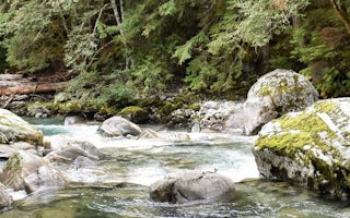
Newhalem Campground is a comfortable facility close to the town of Newhalem, Washington and the Skagit River. It is surrounded b...
Marblemount, Washington
Upper Goodell Group Campground
Overview
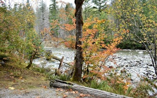
Upper Goodell Group Campground is a quiet, remote facility for tent camping on the banks of Goodell Creek in North Cascades Nati...
Marblemount, Washington
Lower Goodell Group Campground
Overview
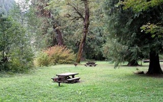
Lower Goodell Group Campground is a convenient site on the banks of Goodell Creek in North Cascades National Park Service Comple...
Cascade River Road
Marble Creek Campground
Overview
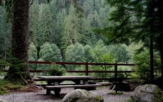
Situated on the banks of the scenic Cascade River in Mt. Baker-Snoqualmie National Forest, Marble Creek campground offers some o...
Cascade River Road
Mineral Park Campground
Overview
Mineral Park Campground is situated near the confluence of the North and South Forks of the scenic Cascade River in Mt. Baker-Sn...

