Kitimat-Stikine C (Part 1), British Columbia
Looking for the best camping in Kitimat-Stikine C (Part 1)? We've got you covered with the top trails, trips, hiking, backpacking, camping and more around Kitimat-Stikine C (Part 1). The detailed guides, photos, and reviews are all submitted by the Outbound community.
Top Camping Spots in and near Kitimat-Stikine C (Part 1)
-
Terrace, British Columbia
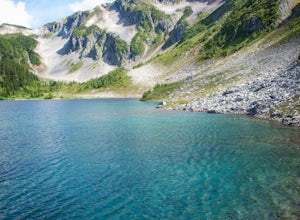
Backpack to the Maroon Mountain Meadows
3.010 mi / 5000 ft gainMaroon Mountain is among the Kitimat Mountain Range, and can be accessed from the unincorporated town of Rosswood. Follow the Nisga'a Highway north of the city Terrace for 34.5 km. Turn right onto the Wesach Creek forestry road (1.3 km north of the Maroon Creek highway bridge), and follow the sig...Read more -
Cedarvale, British Columbia
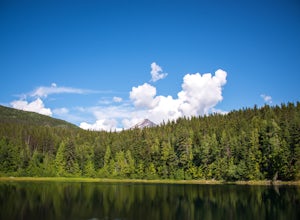
Hike the Watson Lakes Trail
4.54 mi / 600 ft gainThe trailhead is located a few hundred yards from highway 16 on a relatively smooth gravel road. The turnoff is marked by a blue sign saying Watson Lakes Trail. From Terrace the turnoff is 33 miles east, and from Kitwanga Junction the turnoff is 23 miles west. The first half of the hike is a stea...Read more -
Terrace, British Columbia
Hike to Gunsight Lake
5.09 mi / 3000 ft gainFrom Terrace drive south for approximately 11 miles south along Highway 37 to Furlong Bay Provincial Park campground. The trailhead is accessed via the gravel pit road on the other side of the highway from the Park. Walk past the first gate and keep to the right prior to the gravel pit. Follow th...Read more


