Bob Hollywood
Outdoor enthusiast. Hiking, climbing and peak bagging in the summer; snowboarding and snowshoeing in the winter. Always up for a new adventure!
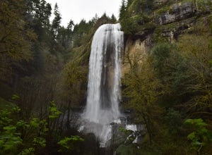
Hike through Golden and Silver Falls State Natural Area
Coos Bay, Oregon
4.5
3 mi
/ 570 ft gain
Getting here was half the adventure. Google led us in quite the wrong way. Whatever you do, approach this park from Allegany, outside of Coos Bay. From Allegany there are signs to the park. The road is about 9 miles from here. Drive until the road dead ends with cement blocks. Here you will have to walk 0.5 miles along a gravel road to the park entrance. Once in the park there is a sign that sh...
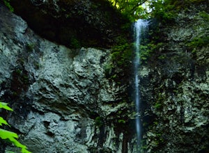
Hike to Niagara Falls, OR
Beaver, Oregon
4.0
4 mi
/ 800 ft gain
Getting There Get onto Highway 101. Between Tillamook and Lincoln City at the town of Beaver, turn east near mile marker 80 onto a paved road toward upper Nestucca River. Follow this scenic road 6.7 miles to the town of Blaine. Stay to the right and drive another 4.8 miles; between mile markers 11 and 12, turn right onto FS Road 8533 where you'll see a sign to Niagara Falls Trail. This road tur...
Hyndman Peak
Hailey, Idaho
4.5
12.18 mi
/ 4711 ft gain
At 12,009 feet, Hyndman Peak is the ninth highest peak in Idaho and the tallest peak in the Pioneer Mountains. The hike to Hyndman Peak will take you up 5,000 feet in elevation over six miles. Once you've made it to the top, you can take in one of the most stunning 360-degree views of other Idaho mountain ranges, including Mount Borah, Idaho's highest peak.
Getting There: Get on Highway 75. Be...
Climb Mt. Breitenbach
Mackay, Idaho
8 mi
/ 4600 ft gain
Directions to the "trailhead": From Mackay, Idaho take Highway 93, approximately 2 miles past Mackay reservoir, turn right on Upper Cedar Creek road (FS rd 127). Follow this road straight toward the mountains. There will be a number of cattle gates to go through. About 3 miles up, the road crosses a canal. A high clearance vehicle required. Just after you cross the canal turn left on the faint ...
Hike Mount McCaleb
Mackay, Idaho
4 mi
/ 3500 ft gain
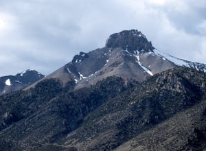
Mt. McCaleb's beautiful south face towers over the little town of Mackay, Idaho. The domineering peak is seen from US-93 just waiting to be climbed. It's a part of the Lost River Range, which boasts seven of Idaho's nine 12K-foot peaks; at 11,682 feet tall, McCaleb is Idaho's 34th highest peak.The west ridge approach is a four mile round trip, class 3 hike. With an elevation gain of 3,500 ft, t...
Hike to Lower Cedar Springs
Mackay, Idaho
4.5
3.4 mi
/ 200 ft gain
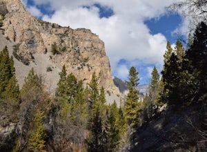
This is one of the easiest, yet scenically rewarding, hikes in the Lost River Range. Traveling only 1.2 miles (3.4 miles round trip) with an elevation gain of about 200 ft. You travel in a canyon surrounded by some of the highest mountains in Idaho. Mt. McCaleb is the giant 11,682 ft peak on the left thoughtout the hike. The trail meanders along side Lower Cedar Creek. At 1 mile, you will come ...
Timber Gulch Trail
Jordan Valley, Oregon
4.0
1.1 mi
/ 400 ft gain
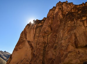
Leslie Gulch, a canyon on the border of Oregon and Idaho, is full of almost surreal rock formations made up of tuff from volcanic eruptions 15 million years ago.To walk around in these canyons is like being transported into another world. Timber Gulch, one of many hikes located in Leslie Gulch, is a short 1.5 mile hike into a spectacular natural amphitheater.
Getting There
Near Marsing, Ida...
Hike to Spirit, Moon, and Pinard Falls
Dorena, Oregon
4.2
2.8 mi
/ 630 ft gain
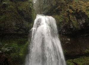
Spirit Falls is the first stop on this adventure. From the parking pull-out walk a short distance of 0.4 miles to the 40 foot fan falls. Don't let the small size deter you, this is a pretty little falls, with a lovely stroll through an old growth forest and beautiful little trilliums. There is a picnic table near the base of the falls and nice little creek. This trail gets super muddy from the ...
Hike to 4th of July Lake
Stanley, Idaho
3.6 mi
/ 900 ft gain
This is an easy, yet breathtakingly beautiful hike. After the fun adventure of the 10.2 mile extra bumpy dirt road to the trail head the hike in is simple. 4 Wheel drive and a spare tire are advised, I got a flat. The drive in through old burned forest area is a cool drive on its own. At the end of the road there will be a parking lot and toilets. From here just follow the signs to the lake. Th...
Hike to Bear Creek Lake
Mackay, Idaho
5.0
6 mi
/ 1600 ft gain
The trailhead starts at the end of an old jeep trail. If you are brave with your 4 wheel drive you can drive to here and cut 1.4 miles off your hike. My mile counting started at the trail head. The trail is very well marked. At about 0.3 miles it crosses Bear Creek. In the summer this will often be dry. The trail goes across a talus slope (be especially careful if this is wet). After the slope ...
Community
© 2024 The Outbound Collective - Terms of Use - Privacy Policy

