Lorne, Victoria
Top Spots in and near Lorne
-
Lorne, Victoria
Backpack from Sheoak Falls to Sharps Track Camping Area
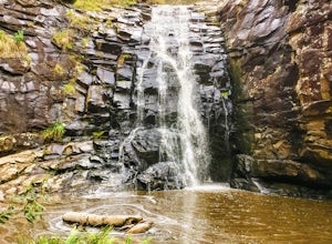
6.8 mi / 656.2 ft gainThe Otways National Park sits right on the Great Ocean Road, a stunning, lush park with lots of amazing tracks to explore. This track takes you through dense trees and walks along several stunning waterfalls. Day One (4.8km) From Sheoak car park, follow the track up the hill towards Sheoak Falls...Read more -
Bells Beach, Victoria
Hike from Bells Beach to Point Addis
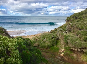
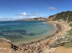
5.09.6 mi / 853 ft gainBells Beach is one of the first stops on the Great Ocean Road and an awesome spot to either surf or enjoy the small beach town vibe in the town of Torquay. Bells has some awesome storms and surges that come through so it's a great place to surf or watch the waves break. This trail can be either h...Read more -
Beech Forest, Victoria
Explore Beauchamp Falls on the Great Ocean Road
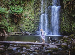
0.5 miLocated between Apollo Bay and the 12 Apostles in Beech Forest, hidden behind a dense array of ferns, is a temperate rainforest. Containing a high biodiversity and homing many of Australia’s unique flora and fauna, the Otways National Park. Beauchamp Falls offers free dog friendly camping making...Read more -
Beech Forest, Victoria
Explore Hopetoun Falls on the Great Ocean Road, Australia
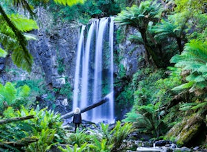
4.0Hopetoun Falls has around 200 stairs descending into the lush rainforest to reach Hopetoun Falls, it may seem like a daunting idea and one that could also be rough on the old’ knees. It is worth the struggle though just so you can witness this 30 metre fall of ice-cold water into the Aire River....Read more -
Portsea, Victoria
Hike to Fort Nepean
4.34.3 mi / 98.4 ft gainStarting at the car park, you can choose to either head to the visitors centre (north east of the car park) to look at the information boards or you can head straight to the walk. At the visitors centre, you can arrange for a shuttle back from the fort if you wish or there are also washrooms avai...Read more -
Rye, Victoria
Photograph Lizard Head Point at Sunrise
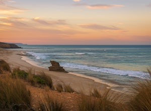
0.3 mi / 820.2 ft gainVictoria's Mornington Peninsula is a stunning example of one of Australia's many rugged coastlines, dotted with rock formations, pristine sand beaches & epic waves. Lizard Head Rock is a unique formation rising out of the ocean which is especially beautiful at sunrise. The "hike" is really j...Read more -
Staughton Vale, Victoria
Hike the Ted Errey Nature Circuit
7.5 miThe hike is quite well marked, identified by blue markers, but as this park has several trails that cross paths, make sure to bring your map. It is twelve kms and there are some hills, but it is overall a relatively easy hike. There is lots of wildlife in the park, so look out for lots of beautif...Read more

