Bellfield, Victoria
Top Spots in and near Bellfield
-
Port Melbourne, Victoria
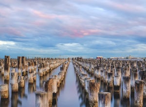
Photograph Princes Pier
3.0Princes Pier was originally completed in 1915 and served as a major arrival point for new migrants until the late 60's. Despite the pier being closed to the public in the 90's, it caught fire 14 times in the three years between 2001 and 2004. The first 196m of Princes Pier were restored in 2006, ...Read more -
Mount Macedon, Victoria
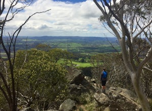
Hike the Macedon Ranges Walking Track
5.011.2 mi / 2624.7 ft gainThe pin that has been dropped is across from the Mt Macedon Hotel, where there are many free public parking areas on the main road. If you park here (on the left side of the road coming in), you can easily circuit the walking track.The walking track can be circuited either way, but I walked the t...Read more -
Darley, Victoria
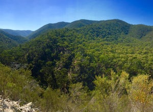
Hike the Lerderderg Circuit
4.05.1 mi / 1476.4 ft gainPlease note that this walk is quite steep, so leave ample time to get up and down the walk. As well, please note that water levels can vary on the Lerderderg River, so ensure you are prepared to get a little wet at certain times of the year! From the parking lot, walk through the picnic area and...Read more -
East Warburton, Victoria
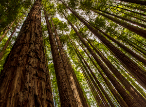
Explore Warburton's Sequoia Forest
4.8These particular Californian Redwoods were planted in 1930 after the clearing of a eucalypt forest. The redwoods range from 20 to 55 meters high and is a popular location for photographers due to the leading lines the massive tree provide. Use a tripod and a wide angle lens to show the size of th...Read more -
Ingliston, Victoria
Hike to Falcon's Lookout and the Ingliston Granites
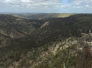
4.03.7 miThis hike is very short, but since it's so close to Melbourne it's great if you want to head out mid-afternoon for a few hours and be back by dinner. The route I've posted is comprised of two out-and-backs and has fantastic views of the gorge from several lookouts. Please note that the second por...Read more -
Staughton Vale, Victoria
Hike the Ted Errey Nature Circuit
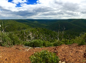
7.5 miThe hike is quite well marked, identified by blue markers, but as this park has several trails that cross paths, make sure to bring your map. It is twelve kms and there are some hills, but it is overall a relatively easy hike. There is lots of wildlife in the park, so look out for lots of beautif...Read more -
Portsea, Victoria
Hike to Fort Nepean
4.34.3 mi / 98.4 ft gainStarting at the car park, you can choose to either head to the visitors centre (north east of the car park) to look at the information boards or you can head straight to the walk. At the visitors centre, you can arrange for a shuttle back from the fort if you wish or there are also washrooms avai...Read more -
Taggerty, Victoria
Backpack the Cathedral Ranges
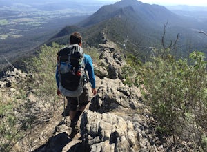
5.07.5 mi / 3018.4 ft gainThis is a great hike to introduce yourself to scrambling - most of the first day is up on the ridge.I have indicated below where this can be turned into a day hike, which is what a majority of the people we met on the hike were doing. The first day took us around 5 hours (6 kms) and the second da...Read more -
Rye, Victoria
Photograph Lizard Head Point at Sunrise
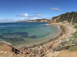
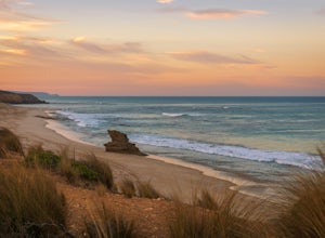
0.3 mi / 820.2 ft gainVictoria's Mornington Peninsula is a stunning example of one of Australia's many rugged coastlines, dotted with rock formations, pristine sand beaches & epic waves. Lizard Head Rock is a unique formation rising out of the ocean which is especially beautiful at sunrise. The "hike" is really j...Read more -
Taggerty, Victoria
Hike the Cathedral Peak Loop
4.35.3 mi / 1837.3 ft gainFrom Ned's Gully carpark, cross the road where you see a small suspension bridge to the campground, taking a left towards the trail once you're on the other side. Follow the trail until you reach a junction and follow the Cathedral Track (rather than the Little River Walk). The trail will quickly...Read more

