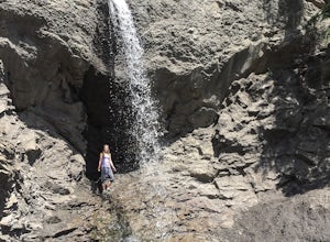
Hike to Twin Falls In Grande Cache
Greenview No. 16, Alberta
5.0
0.7 mi
/ 25 ft gain
Directions: From Grande Cache, drive north on Highway 40 for exactly 11.5 kilometers, turn left onto the dirt road (also spotted with hundreds of protruding rocks) and continue along that road for about 0.7 kilometers, until it hits a dead end at the sheer and sudden drop off into the creek valley.
The trail follows Hell's Creek at a steady incline as it winds through the lush alpine forest for...
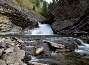
Hike to Muskeg Falls in Grande Cache
Greenview No. 16, Alberta
5.0
1.2 mi
/ -262.5 ft gain
Directions: Drive about 17km south of Grande Cache on Highway 40 and turn at the first rest stop on the left hand side of the road. There is one sign attached to a power pole that says Muskeg Falls.
The first 500 meters into the trail is an easy walk through the dense alpine forest. It soon comes to a fork. Going left takes you on a long path down the 80 meter cliff of the valley, it is the eas...
Takakkaw Falls
Field, British Columbia
4.0
1.2 mi
/ 196.9 ft gain
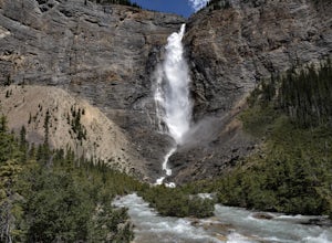
This powerful waterfall is unquestionably, one of Canada's largest and most magnificent waterfalls. It falls at around a whopping 381 meters over the sheer cliff of the beautiful Canadian Rockies. The word 'Takakkaw' loosely translates from the language of 'Cree,' into the English phrase, "it is magnificent." As for camera angles, this waterfall can be seem from miles away, and are best viewed,...
Hike to the Cutbank Twin Falls
Greenview No. 16, Alberta
4.3
3.1 mi
/ -40 ft gain
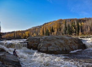
Directions: From Grande Prairie, drive about 50 minutes south on Highway 40. There is a ditch and an industrial road just off the side of the Highway, about 2 kilometers after the bridge. The trail is right off of the Highway, accessible by the ditch.
Right before the bridge, that is crossing the Cutbank River, there is a food truck and a campground without a fee. There is also a network of ATV...
Camp in the Kleskun Hills
Bezanson, Alberta
4.5
Directions: From Grande Prairie, travel East on Highway 43 (towards Edmonton) for about 20 kilometers, then turn left on Range Road 41 and drive north for 3 kilometers. Finally take another left hand turn on Township Road 724 and continue on that road until you reach the Kleskun Hills campground.
Once at the campground, there is a playground and several picnic areas, along with an old pioneer t...
Hike to Tepee Falls
Groundbirch, British Columbia
4.5
3.7 mi
The trail head is across the Heritage Highway road and begins with a sign and some brochures that contain some information about the hike and falls. The trail is very easy and has little to none elevation gain. It weaves through dense and open areas of the boreal forest and crosses several creeks with little bridges. The trail is also marked with kilometer signs. You will only come to a few 'fo...
Hike the Moose Lake Loop
Jasper, Alberta
3.0
1.9 mi
/ 196.9 ft gain
Hike a beautiful, and very well used trail to the gorgeous Moose Lake, where Moose visit quite a bit, hence the name 'Moose Lake.' (Biking the Loop is not allowed.) The trail itself is about a 2.7 kilometer loop, and is accessed through driving to Maligne lake. To access the trail head, "pass by the first turnoff to the lake, go past the buildings, cross the Maligne River, go to the end of pave...
Camp at Pierre Grey's Lakes Provincial Park
Muskeg River, AlbertaVisit a provincial park hosting three crystal clear lakes, four campgrounds, and a fair sized island to go out on and explore! The three lakes are perfectly suitable for canoeing and kayaking, as well as fishing. Desjarlais lake is stocked with Rainbow Trout, Moberly Lake is stocked with Brook Trout, and McDonald Lake is known as a trophy fishing lake with some special regulations, check the Al...
Community
© 2024 The Outbound Collective - Terms of Use - Privacy Policy

